Mahankal Chaur

Mahankal Chaur
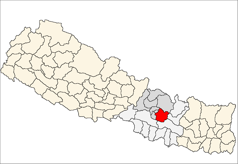
Mahankal Chaur
—  Village development committee  —
Mahankal Chaur is located in Nepal
Mahankal Chaur
Location in Nepal
Coordinates: 27°31′N 85°33′E / 27.51°N 85.55°E / 27.51; 85.55Coordinates: 27°31′N 85°33′E / 27.51°N 85.55°E / 27.51; 85.55
Country  Nepal
Zone Bagmati Zone
District Kavrepalanchok District
Population (1991)
 – Total 3,954
Time zone Nepal Time (UTC+5:45)

Mahankal Chaur is a village development committee in Kavrepalanchok District in the Bagmati Zone of central Nepal. At the time of the 1991 Nepal census it had a population of 3954 .[1]

References

  1. ^ "Nepal Census 2001". Nepal's Village Development Committees. Digital Himalaya. http://www.digitalhimalaya.com/collections/nepalcensus/form.php?selection=1. Retrieved 2008-09-03. 

External links


Wikimedia Foundation. 2010.

Игры ⚽ Поможем написать реферат

Look at other dictionaries:

  • Village development committee — Nepal This article is part of the series: Politics and government of Nepal Government …   Wikipedia

  • Kavrepalanchok District — Infobox Nepal district district = Kavrepalanchok District area = 1,396 population = 385,672 pop year = 2001 density = caption = region = established = languages = website = Kavrepalanchok District, a part of Bagmati Zone, is one of the seventy… …   Wikipedia

  • Dhulikhel — धुलिखेल   Town   Dhulikhel skyline …   Wikipedia

  • Chalal Ganeshsthan —   Village development committee   …   Wikipedia

  • Chandeni Mandan —   Village development committee   …   Wikipedia

  • Choubas —   Village development committee   …   Wikipedia

  • Chyamrangbesi —   Village development committee   …   Wikipedia

  • Chyasing Kharka —   Village development committee   …   Wikipedia

  • Dandagaun, Bagmati — Dandagaun   City   Country  Nepal Zone Bagmati Zone …   Wikipedia

  • Dapcha Chatraibas — Dapcha Chhatrebangh   Village development committee   Country  Nepal Zone …   Wikipedia

Share the article and excerpts

Direct link
Do a right-click on the link above
and select “Copy Link”