- Waipapa Point Lighthouse
Infobox_lighthouse|name= Waipapa Point Ligthhouse
location= Waipapa Point,South Island ,New Zealand 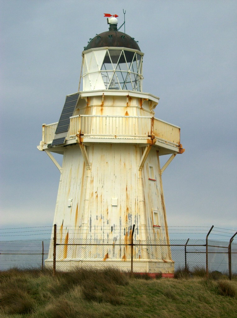
caption=
coordinates = 46°39.8'S 168°50.7'E
yearbuilt = 1883
yearlit = 1884
yeardeactivated=
automated= 1976
intensity=
elevation= 21 m
range= 16 km
foundation=
construction= Wood
shape= Octagonal tower
height= 13 m
characteristic = White FL(5) 20s
marking = White
currentlens=
admiralty=K3484
NGA=5420
ARLHS=NZL-056Waipapa Point Lighthouse is a lighthouse located at
Waipapa Point ,Southland ,New Zealand . It was first lit on January 1, 1884.The lighthouse was built in reponse to the wreck of the passenger steamer Tararua on reefs off Waipapa Point on April 29, 1881, with the loss of 131 lives.
The lighthouse was automated and keepers withdrawn in 1976. It has been solar powered since 1988.
With its sibling, the retired Kaipara North Head lighthouse, this was one of the last two wooden lighthouses built in New Zealand.
References
* [http://www.maritimenz.govt.nz/publications/lighthouses/waipapa.pdf Waipapa Point Lighthouse Profile] (from the
Maritime New Zealand website)
Wikimedia Foundation. 2010.