- Camargo (municipality)
Infobox Settlement
name = Camargo
settlement_type =Municipality
other_name =
native_name =
nickname =
motto =
imagesize = 300px
image_caption =
flag_size =
image_
seal_size =
image_shield = EscudoCamargo.jpg
shield_size =
image_blank_emblem =
blank_emblem_type =
blank_emblem_size =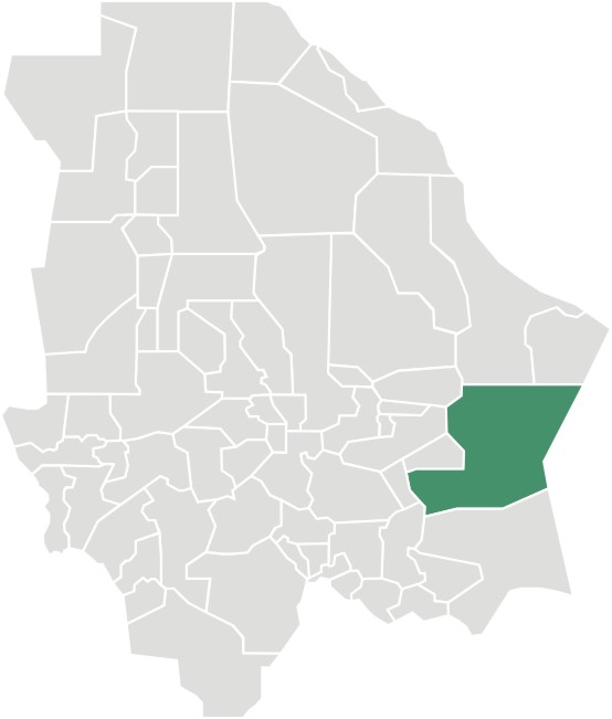
mapsize =
map_caption = Municipality of Camargo in Chihuahua
mapsize1 =
map_caption1 =
image_dot_
dot_mapsize =
dot_map_caption =
dot_x = |dot_y =
pushpin_
pushpin_label_position =above
pushpin_mapsize =300
pushpin_map_caption =Location in Mexico
subdivision_type = Country
subdivision_name = flag|Mexico
subdivision_type1 = State
subdivision_name1 =Chihuahua
subdivision_type2 = Municipal seat
subdivision_name2 =Santa Rosalía de Camargo
subdivision_type3 =
subdivision_name3 =
subdivision_type4 =
subdivision_name4 =
government_footnotes =
government_type =
leader_title =
leader_name =
leader_title1 =
leader_name1 =
leader_title2 =
leader_name2 =
leader_title3 =
leader_name3 =
leader_title4 =
leader_name4 =
established_title =
established_date =
established_title2 =
established_date2 =
established_title3 =
established_date3 =
area_magnitude =
unit_pref =
area_footnotes =
area_total_km2 =16066
area_land_km2 =
area_water_km2 =
area_total_sq_mi =
area_land_sq_mi =
area_water_sq_mi =
area_water_percent =
area_urban_km2 =
area_urban_sq_mi =
area_metro_km2 =
area_metro_sq_mi =
area_blank1_title =
area_blank1_km2 =
area_blank1_sq_mi =
population_as_of =2005
population_footnotes =
population_note =
population_total =47,209
population_density_km2 =
population_density_sq_mi =
population_metro =
population_density_metro_km2 =
population_density_metro_sq_mi =
population_urban =
population_density_urban_km2 =
population_density_urban_sq_mi =
population_blank1_title =Ethnicities
population_blank1 =
population_blank2_title =Religions
population_blank2 =
population_density_blank1_km2 =
population_density_blank1_sq_mi =
timezone =
utc_offset =
timezone_DST =
utc_offset_DST =
latd=27|latm=41|lats=|latNS=N
longd=105|longm=10|longs=|longEW=W
elevation_footnotes =
elevation_m =
elevation_ft =
postal_code_type =
postal_code =
area_code =
blank_name =
blank_info =
blank1_name =
blank1_info =
website =
footnotes =Camargo is a one of the 67
municipalities of Chihuahua , in northernMexico . The municipal seat lies atSanta Rosalía de Camargo . The municipality covers an area of 16,066 km².As of 2005, the municipality had a total population of 47,209. [cite web|title=Camargo|url=http://www.e-mexico.gob.mx/work/EMM04/Chihuahua/mpios/08011a.htm|work=Enciclopedia de los Municipios de México|publisher=
Instituto Nacional para el Federalismo y el Desarrollo Municipal |accessdate=2008-08-18]The municipality has the second-largest land area in the state (after Ahumada), and is also one of the largest in all of Mexico. It is almost all very sparsely populated except for the city of Santa Rosalía de Camargo, which is the seventh-largest community in the state in population with around 39,000.
Geography
Towns and villages
References

Wikimedia Foundation. 2010.