- Marceline, Pasadena, California
-
Marceline is a neighborhood in Pasadena, California, whose central feature is Pasadena City College. It has an area of roughly half a square mile and is bordered by Walnut Street to the north, Orlando Road to the south, Hill Avenue to the west, and Allen Avenue to the east. The neighborhood is named for a short-lived railroad cutoff which ran through the center of the neighborhood at the turn of the century.
Landmarks
The vast majority of commercial activity is centered around the PCC Campus, especially on Colorado Boulevard. There are no parks in the neighborhood, though Marceline borders the Huntington Library.
Transportation
The Metro Gold Line has a station on Allen Avenue, two blocks from Marceline's edge. Pasadena City College is the eastern terminus of Metro Rapid line 780, and Metro Local lines 177, 180, 181, 256, 267, and 687 run through the neighborhood, as well as Pasadena ARTS routes 10 and 60 and Foothill Transit route 187.
History 
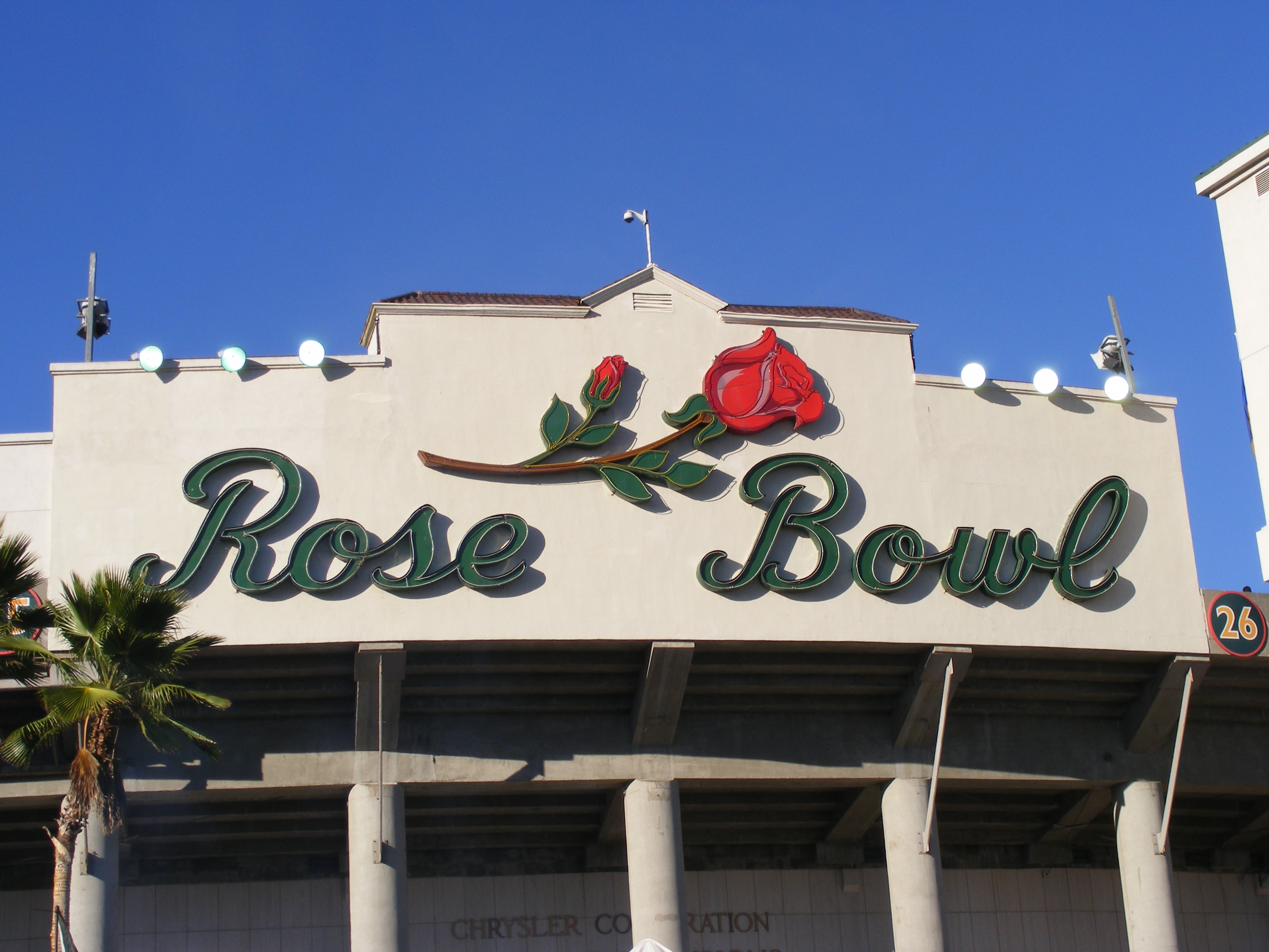
Government Mayor · City Council · Pasadena ARTS · Pasadena Unified School District · Pasadena Police DepartmentCulture Brookside Golf Course · Convention Center · Kidspace Children's Museum · Norton Simon Museum · Pacific Asia Museum · Rose Bowl · Rose Bowl Aquatics CenterNeighborhoods DowntownCivic Center · Old PasadenaNorthwestBanbury Oaks · Brookside Park/Arroyo Terrace · Garfield Heights · La Pintoresca · Lincoln-Villa · Linda Vista · Muir Heights · The Oaks · Orange Heights · Prospect Park · Villa ParkeNorth LakeNortheastFar EastSouthwestSoutheastCategories:- Neighborhoods in Pasadena, California
- Los Angeles County, California geography stubs
Wikimedia Foundation. 2010.