- Mirna River (Croatia)
otherplaces|MirnaGeobox
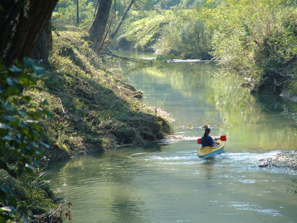
image_caption = The Mirna River in Istria, Croatia.
etymology =
nickname =
country = Croatia
country_
state =
region =
district =
commune =
municipality =
parent =
tributary_left =
tributary_right =
tributary_right1 =
city =Motovun
city1 = Novigrad
city2 =
city3 =
landmark =
source =Buzet
source_location =
source_region =Istria
source_country =Croatia
source_length = 53
source_length_unit = km
source_elevation =
source_lat_d = 45
source_lat_m = 21
source_lat_s =
source_lat_NS = N
source_long_d = 13
source_long_m = 44
source_long_s =
source_long_EW = E
source1 =
source1_location =
source1_country =
source1_length =
source1_length_unit =
source1_elevation =
source_confluence_location =
mouth =Adriatic Sea
mouth_country = Croatia
mouth_country1 =
mouth_elevation =
mouth_lat_d =
mouth_long_d =
length = 53
width = 39
depth = 10
watershed = 483
discharge =
discharge_location =
discharge1 =
discharge1_note =
discharge1_location =
discharge2 =
discharge2_location =
discharge3 =
discharge3_location =
discharge4 =
discharge4_location =
free =
map_caption =
map_locator =
commons =
statistics =
website =
footnotes = The Mirna is ariver inIstria ,Croatia . It is Istria's longest and richest river, being 53 km in length. It rises nearBuzet , and empties into theAdriatic Sea near Novigrad [http://www.istra-istria.hr/index.php?id=610] .References
External links
* [http://www.imo.hr/resource/research/mirna.html Development of the Mirna River Basin Management Plan]
* [http://medhycos.mpl.ird.fr/en/t1.neticarasti&gn=porton01.inc.html Geological & hydrological data]
Wikimedia Foundation. 2010.


