- Island of Mozambique
-
Island of Mozambique * UNESCO World Heritage Site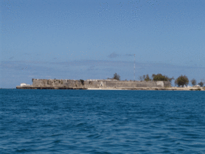
Fort Sao SebastiaoCountry Mozambique Type Cultural Criteria iv, vi Reference 599 Region ** Africa Inscription history Inscription 1991 (15th Session) * Name as inscribed on World Heritage List
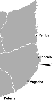
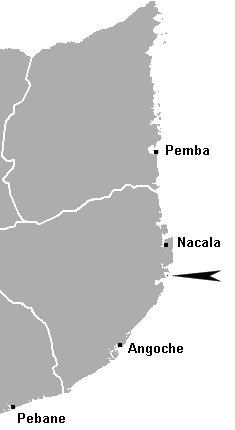
** Region as classified by UNESCOThe Island of Mozambique (Portuguese: Ilha de Moçambique) lies off northern Mozambique, between the Mozambique Channel and Mossuril Bay. It has a population of around 14,000 people and is part of Nampula Province.
Contents
History
The island was a major Arab port and boat building centre long before Vasco da Gama visited in 1498. The name of the island (Portuguese: Moçambique, pronounced [musɐ̃ˈbiki]) is derived from Musa Al Big, an Arab trader who first visited the island and later lived there. This name was subsequently taken to the mainland country which is modern day Mozambique, and the island was renamed Ilha de Moçambique (Island of Mozambique). The Portuguese established a port and naval base in 1507, and built the Chapel of Nossa Senhora de Baluarte, in 1522, now considered the oldest European building in the southern hemisphere.
During the sixteenth century, the Fort São Sebastião was built, and the Portuguese settlement (now known as Stone Town) became the capital of Portuguese East Africa. The island also became an important missionary centre and is now a World Heritage Site. It withstood Dutch attacks in 1607 and 1608 and remained a major post for the Portuguese on their trips to India. It saw the trading of slaves, spices and gold.
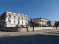
Apart from the ancient fortifications, only half of the town is stone-built. The hospital, a majestic neo-classical building constructed in 1877 by the Portuguese, with a garden decorated with ponds and fountains, was repainted white after the Mozambican Civil War. For many years it was the biggest hospital south of the Sahara.[1]
With the opening of the Suez Canal, the island's fortunes waned. In 1898, the capital was relocated to Lourenço Marques (now Maputo) on the mainland. By the middle of the twentieth century, the new harbour of Nacala took most of the remaining business.
Attractions
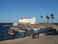
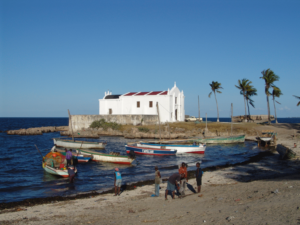
Other notable buildings on the island include the Palace and Chapel of São Paulo, built in 1610 as a Jesuit College and subsequently used as the Governor's Residence, now a museum; the Museum of Sacred Art, housed in the Church of the Miseriacorda run by the House of Mercy, displaying an excellent Makonde crucifix; the Church of Santo António; the Church of the Misericórdia; and the Chapel of Nossa Senhora de Baluarte. The island, now entirely urbanised, is also home to several mosques and a Hindu temple. A 3 km bridge was erected in the 1960s to connect it to the mainland.
The island in itself is not very big, about 3 km long and between 200 and 500 metre wide. Most historical buildings are at the island's northern end. The majority of the residents live in reed houses in Makuti Town at the southern end of the island.
-
Old Hospital
-
Church of Santo António
-
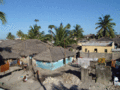
Makuti Town
The island is also close to two tourist highlights Chocas Mar, a long beach about 40 km north of Ilha de Moçambique across the Mossuril Bay, and Cabaceiras.
References
- ^ Patrick Lages, The island of Mozambique, UNESCO Courier, May, 1997.
2. O.J.O. Ferreira, Ilha de Moçambique byna Hollands: Portuguese inbesitname, Nederlandse veroweringspogings en die opbloei en verval van Mosambiek-eiland. Gordonsbaai & Jeffreysbaai: Adamastor: 2010
External links
Coordinates: 15°02′12″S 40°43′58″E / 15.03667°S 40.73278°E
Categories:- Islands of Mozambique
- World Heritage Sites in Mozambique
- Nampula Province
- Swahili city-states
-


Wikimedia Foundation. 2010.