River Country — 28° 24′ 41″ N 81° 33′ 53″ W / 28.411325, 81.564681 … Wikipédia en Français
Maipo River — Mouth Pacific Ocean Basin countries Chile Length 250 km … Wikipedia
Tweed River — (Australie) Pour les articles homonymes, voir Tweed. Tweed River L embouchure de la tweed River à Tweed Heads … Wikipédia en Français
Tweed River (Australie) — 28°10′10″S 153°33′22″E / 28.16944, 153.55611 … Wikipédia en Français
Ti'tom : l'île au volcan — Ti tom : l île au volcan Genre animation Créateur(s) Jean Marc Desrosiers Production Cross River Productions, Dargaud Marina, Réseau France Outre mer Pays d’origine … Wikipédia en Français
Pantaleón River — Infobox River river name = Pantaleón River (Río Pantaleón) caption = origin = Guatemala (Chimaltenango, Escuintla) coord|14.454379| 90.972633|type:landmark region:GT|display=inline|name=Río Pantaleón mouth = Tributary of the San Crostobal River… … Wikipedia
Amatzinac River — The Amatzinac river also called Tenango is a Mexican river in the states of Morelos and Puebla. It flows south from its spring in the foothills of Popocatepetl and south through the canyon which is also called Amatzinac and reaches the dry plain… … Wikipedia
Achiguate River — Infobox River river name = Achiguate River (Río Achiguate) caption = origin = Guatemala (Sacatepéquez, Escuintla) coord|14.449060| 90.851355|type:landmark region:GT|display=inline|name=Río Achiguate mouth = Pacific Ocean basin countries =… … Wikipedia
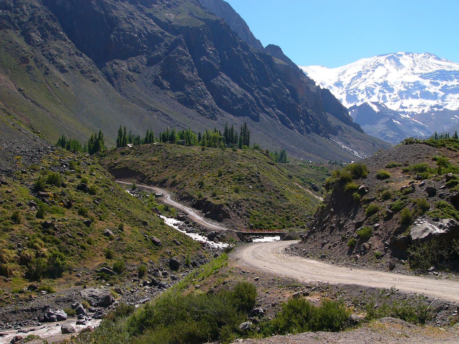
Cajón del Maipo — is a canyon located in the Andean southeastern portion of the Santiago Metropolitan Region, Chile. It encompasses the upper Maipo River basin, where the river has entrenched itself in a narrow valley. The zone features a series of confluent… … Wikipedia
El Morado Natural Monument — Infobox Protected area | name = El Morado Natural Monument iucn category = III caption = San Francisco Glacier locator x = locator y = location = Santiago Metropolitan Region, Chile nearest city = lat degrees = 33 lat minutes = 46 lat seconds = 0 … Wikipedia

