- Woodbridge Historic District
Infobox_nrhp | name =Woodbridge Neighborhood Historic District
nrhp_type = hd
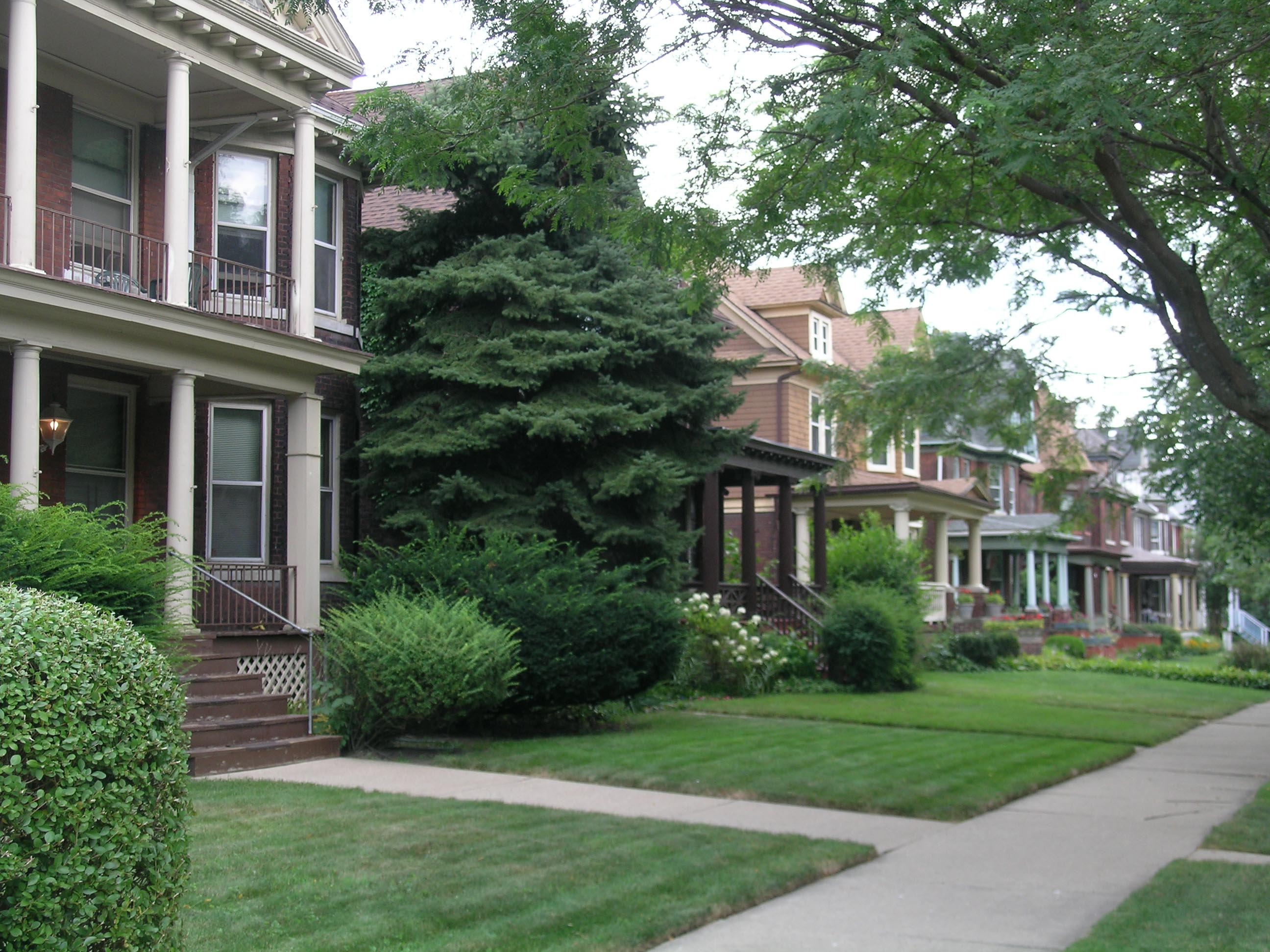
caption = Street scene on Avery, looking south from Willis
location=Detroit, Michigan
lat_degrees = 42
lat_minutes = 20
lat_seconds = 50
lat_direction = N
long_degrees = 83
long_minutes = 4
long_seconds = 42
long_direction = W
locmapin = Michigan
area =
architect= Unknown
architecture= Second Empire, Queen Anne, Romanesque
added =March 06 ,1980 ,December 1 ,1997 (booundary increase I),March 20 ,2008 (boundary increase II)
governing_body = Local
refnum=80001931, 97001480 (boundary increase I), 08000225 (boundary increase II)cite web|url=http://www.nr.nps.gov/|title=National Register Information System|date=2008-04-15|work=National Register of Historic Places|publisher=National Park Service]The Woodbridge Neighborhood Historic District is an historic neighborhood of primarily Victorian homes located in
Detroit ,Michigan .Boundaries
The district as recognized by the
National Register of Historic Places was originally bounded by Trumbull Street, Calumet Street, Gibson Street, Grand River Avenue, Rosa Parks Boulevard, West Warren Avenue, Wabash Street, Railroad Tracks, and the Edsel Ford Freeway. The boundaries of the District were increased twice: in 1997, 4304-14 Trumbull Street (private residences) and 3800 Grand River Avenue were added to the district, and in 2008 the southeast corner of Trumbull Street and Warren Avenue (Saint Dominic Roman Catholic Church) was added.Most structures in the district are located on north-south streets. The irregularly-shaped distric would include structures:
*On the east side of Wabash street, on both sides of Vermont Street, and on both sides of Rosa Parks Boulevard from the Edsel Ford Freeway to Warren Avenue.
*On the west side of Rosa Parks Boulevard from Warren Avenue to Grand River Avenue.
*On both sides of Hecla Street, Avery Street, and Commonwealth Street from the Edsel Ford Freeway to Grand River Avenue.
*On the west side of Trumbull Street from the Edsel Ford Freeway to Canfield Street.
*On the east side of Trumbull Street at the south corner of Warren Avenue.
*On both sides of Trumbull Street from Canfield Street to Grand River Avenue.
*On both sides of Lincoln Street and the west side of Gibson Stereet from Calumet Street to Grand River Avenue.
*The structure at 3800 Grand River Avenue (between Avery Street and Commonwealth Street).Historic Overview
Woodbridge is notable as an intact neighborhood of architecturally significant buildings, with in important effect on the history of Detroit. The neighborhood has largely escaped the redevelopment efforts that have obliterated many of Detroit's other historical neighborhoods, and the neighborhood stands as a rare survivor from the
Victorian era .Foundation and Early History
The neighborhood is named for
William Woodbridge , territorial governor of Michigan in 1840-41, who owned a large farm on which much of the neighborhood was subsequently built. [http://en.wikipedia.org/wiki/Woodbridge_Historic_District Woodbridge Neighborhood Historic District] from the city of Detroit] Most of the structures within the neighborhood were built after 1870, beginning with modest cottages. Larger structures were built later, including the James Scripps house (now demolished, and turned into a city park) built in 1879. TheEighth Precinct Police Station , built in 1901, was architecturally designed to blend in with the lavish upper-class homes in the neighborhood.As the automotive industry boomed, there was an increased demand for housing in the city of Detroit, and new buildings and apartment houses were constructed behind and between the existing homes in the neighborhood. During
World War II , owners rented rooms and divided homes into apartments to house defense industry workers.Postwar Decay and Modern Renewal
After the war, residents began leaving the Woodbridge neighborhood for homes in the suburbs. New residents were less affluent, and the economic health of the neighborhood becan to decline. In the 1960s, areas adjacent to the neighborhood became blighted and were cleared in the name of
urban renewal . The residents of Woodbridge organized a Citizen's District Council to preserve the neighborhood, and successfully managed to stabilize and preserve many of the remaining homes. Recent activity has shifted perception of Woodbridge to that of an up-and-coming neighborhood.See also
Structures within the Woodbridge neighborhood that are also on the
National Register of Historic Places in their own right are:
*Eighth Precinct Police Station
*Hunter House (Detroit, Michigan) References
External links
* [http://comm-org.wisc.edu/papers2001/ucwhat/ucwhattitle.htm Anthony Agbali, Jason Booza, Jennifer Creighton, Amanda Dudley, Richard Fancy, Lance Greene, Amy Howell, Kevin Johnson, Ken Kelso, Rachel Klamo, Mary Mans, Alexandria Meriano, Elizabeth Pare, Girthia Porchia, Michelle Proctor, Oliver Rue, Tim Scrimger, Joseph White, Shihong Yao,] "University City - Woodbridge Historic Area Together: A Community Study of the Woodbridge Historic District," April 23, 2001, paper presented on COMM-ORG: The On-Line Conference on Community Organizing and Development. http://comm-org.wisc.edu/papers.htm.
* [http://www.neighborhoodlink.com/detroit/woodassoc/ Woodbridge Historic District Association]
Wikimedia Foundation. 2010.