- Nerkin Dzhrapi
-
Coordinates: 40°33′0″N 43°39′0″E / 40.55°N 43.65°E
Nerkin Dzhrapi 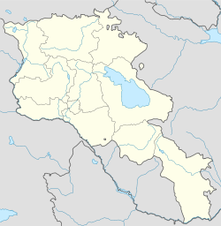
 Nerkin Dzhrapi
Coordinates: 40°33′N 43°39′E / 40.55°N 43.65°E Country Armenia Marz (Province) Shirak Time zone (UTC+4) – Summer (DST) (UTC+5) Nerkin Dzhrapi (also, Chirpili, Jrapi, and Dzhrapi) is a former town in the Shirak Province of Armenia which was intentionally flooded by the Akhurian reservoir. It contained an 11th century caravanserai and a medieval bridge across the Akhuryan River; the river demarcates the Armenian-Turkish border.
References
- Kiesling, Rediscoving Armenia, p. 78, available online at the US embassy to Armenia's website
- Nerkin Dzhrapi at GEOnet Names Server
Categories:- Populated places in Shirak
- Shirak geography stubs

Wikimedia Foundation. 2010.