Oppsal

Oppsal
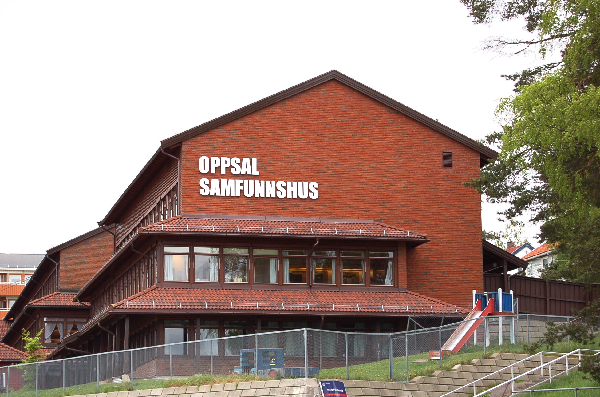
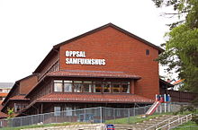
Oppsal community center, inaugurated 1979

Oppsal is a suburb in the borough of Østensjø in Oslo, Norway.

The modern history of Oppsal starts with villas and summer homes built during the Interwar period. The Oslo Tramway was extended to Oppsal in 1926.

Oppsal was developed as a planned suburb after World War II, and the first apartment block was built in 1954. The suburb got its own church in 1961, and a shopping mall opened in 1964. Oppsal borders on the forrested areas of Østmarka.

The tram was upgraded to a subway in 1967, and Oppsal is now served by Oppsal station on Østensjøbanen.

Coordinates: 59°53′43″N 10°50′57″E / 59.89528°N 10.84917°E / 59.89528; 10.84917


Wikimedia Foundation. 2010.

Игры ⚽ Поможем сделать НИР

Look at other dictionaries:

  • Oppsal (station) — Oppsal Location Place Oppsal Municipality Oslo Coordinates …   Wikipedia

  • Østensjø Line — MX3000 train near Ulsrud Overview Type Rapid transit System …   Wikipedia

  • BM Granollers en Competiciones Europeas — Anexo:BM Granollers en Competiciones Europeas Saltar a navegación, búsqueda Contenido 1 Palmarés 2 Encuentros 3 Estadísticas 3.1 General …   Wikipedia Español

  • Skøyenåsen (station) — Infobox T bane station name = Skøyenåsen caption = locale = Gamle Oslo municipality = Oslo line = Østensjøbanen distance = 7.0 km elevation = coordinates = coord|59|53|55|N|10|50|11|E|display=title,inline|region:NO 03 scale:50000… …   Wikipedia

  • Ulsrud (station) — Infobox T bane station name = Ulsrud caption = Ulsrud in May 2007. Photo: Kjetil Ree locale = municipality = Oslo line = Østensjøbanen distance = 7.8 km elevation = 152.4 m coordinates = coord|59|53|22|N|10|50|57|E|display=title,inline|region:NO… …   Wikipedia

  • Bærumsbanen — A/S Bærumsbanen was a tram company that operated the Lillaker , Kolsås and Østensjø Line of the Oslo Tramway, Norway, from 1924 to 1971 when it became part of Oslo Sporveier.History Jar in 1935.In 1924 the two street tram operators in Oslo,… …   Wikipedia

  • Oslo T-Bane — Logo der t bane Streckennetz der Osloer Tunnelbane (rot) und der Straßenbahn (orange) Die Oslo T bane ist das U Bahnnetz der norwegischen Hauptstadt Oslo. Es entstand aus mehreren Vorortbahn be …   Deutsch Wikipedia

  • Oslo T-bane — Logo der t bane Streckennetz der Osloer Tunnelbane (Rot) und der Straßenbahn (Orange) …   Deutsch Wikipedia

  • Osloer U-Bahn — Logo der t bane Streckennetz der Osloer Tunnelbane (rot) und der Straßenbahn (orange) Die Oslo T bane ist das U Bahnnetz der norwegischen Hauptstadt Oslo. Es entstand aus mehreren Vorortbahn be …   Deutsch Wikipedia

  • U-Bahn Oslo — Logo der t bane Streckennetz der Osloer Tunnelbane (rot) und der Straßenbahn (orange) Die Oslo T bane ist das U Bahnnetz der norwegischen Hauptstadt Oslo. Es entstand aus mehreren Vorortbahn …   Deutsch Wikipedia

Share the article and excerpts

Direct link
Do a right-click on the link above
and select “Copy Link”