- Łapczyca
Infobox Settlement
name = Łapczyca
imagesize = 230px
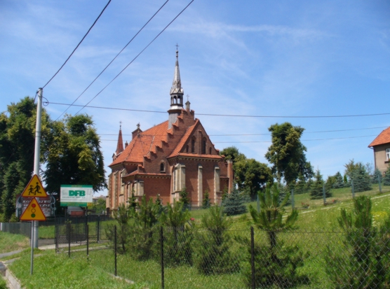
image_caption = Church in Łapczyca
image_shield =
pushpin_
pushpin_label_position = bottom
subdivision_type = Country
subdivision_name = POL
subdivision_type1 = Voivodeship
subdivision_name1 = Lesser Poland
subdivision_type2 = County
subdivision_name2 =Bochnia County
subdivision_type3 =Gmina
subdivision_name3 =Gmina Bochnia
leader_title =
leader_name =
established_title =
established_date =
established_title3 =
established_date3 =
area_total_km2 =
population_as_of =
population_total =
population_density_km2 =
timezone = CET
utc_offset = +1
timezone_DST = CEST
utc_offset_DST = +2
latd = 49 | latm = 58 | lats = | latNS = N | longd = 20 | longm = 22 | longs = | longEW = E
postal_code_type = Postal code
postal_code = 32-744
area_code = +48 14
blank_name = Car plates
blank_info = KBC
website =Łapczyca IPA-pl| [|ł|a|p|cz|y|c|a|] - is a village in southern
Poland , situated in theLesser Poland Voivodeship (since 1999), previously inTarnów Voivodeship (1975-1998).

Wikimedia Foundation. 2010.