- Stellingen railway station
Infobox Station
name=Stellingen (Arena)
type=Rapid transit
image_size=250px
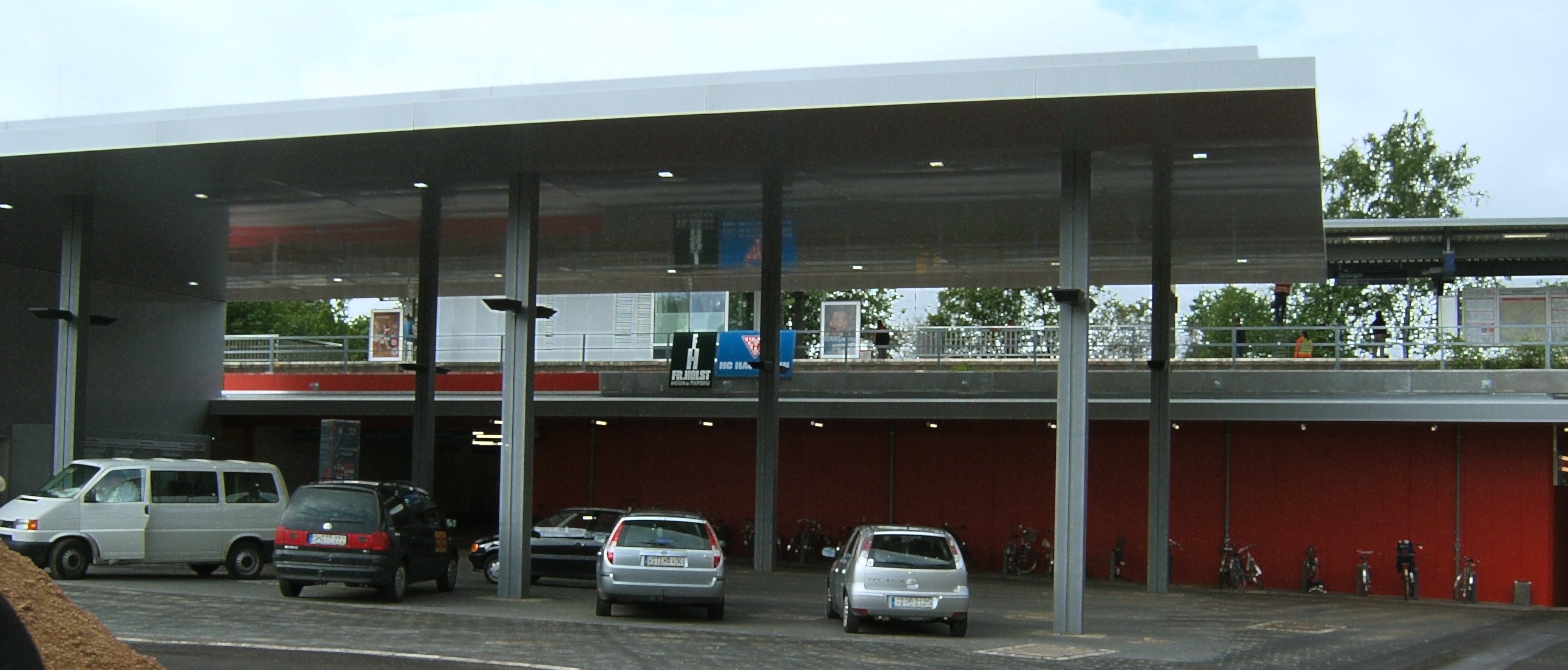
image_caption=Entrance of the station
address=Volksparkstr. 69 22525 Hamburg Germany
coordinates=
line=
other=
structure=Elevated
platform=1
depth=
levels=
tracks=2
parking=25 parking lots
bicycle=No
baggage_check=No
opened=
closed=
rebuilt=
electrified=1200 volts DC system
ADA=Yes
code=ds100: ASTS DB station code: 2797 Type: Hp Category: 4
owned=
zone=
former=
passengers=
pass_year=
pass_percent=
pass_system=
mpassengers=
services=
map_locator=Stellingen railway station is serviced by the city trains and the commuter trains of the AKN railways plc., located in
Hamburg ,Germany [ [http://www.db.de/site/shared/de/dateianhaenge/infomaterial/sonstige/bahnhofskategorieliste__2008.pdf Liste Bahnhofskategorie 2008 (pdf)] , DB Station&Service AG, Köthener Straße 2, 10963 Berlin (2008) de icon]The railway station is located in the
Eimsbüttel borough nearby the main stadium (Arena) of Hamburg. The freeway A7 is crossing above the elevated railway tracks directly near the station.tation layout
The station is an elevated
island platform with 2 tracks and one exit. The station is fully accessible for handicapped persons, because there is a lift and a special floor layout for blind persons.DB station information (see: External links)]tation services
Trains
The commuter trains of the line A1 are calling Langenfelde only during the rush hours. The
rapid transit trains of the line S3 and the line S21 of theHamburg S-Bahn are calling the station. [Network plan HVV]Direction of the trains on track 1 is toward
Kaltenkirchen andNeumünster (A1),Pinneberg (S3) andElbgaustraße railway station (S21). On track 2 the trains are running in the direction Hamburg central station (A1),Stade (S3) andAumühle (S21).Buses
Several bus lines are calling a bus stop in front of the station.
Facilities at the station
A small shop in the station sells fast food and newspapers. There are no lockerboxes. No personnel is attending the station, but there are SOS and information telephones,
ticket machine s and 25 parking lots. In front of the station is ataxicab stand .Gallery

ee also
*Hamburger Verkehrsverbund (HVV)
*ArenaReferences
External links
* [http://www.db.de/site/bahn/de/reisen/service/bfssuche__deutschland/bahnhofssuche/bahnhofsdaten__filter,variant=details,recordId=2797.html?c252936=stellingen DB station information] de icon
* [http://www.hvv.de/pdf/fahrplaene/usar/hvv_usar_regio.pdf Network plan HVV] (pdf) 560 KiB
Wikimedia Foundation. 2010.