List of hill forts in Scotland — This List of hill forts in Scotland is a page for any hill fort in Scotland, UK.Aberdeenshire* Bennachie * Tap o NothArgyll Bute* DunaddBorders* Edin s Hall Broch * Eildon hill fort (redirected to:) Trimontium (Newstead)East Lothian* Black Castle … Wikipedia
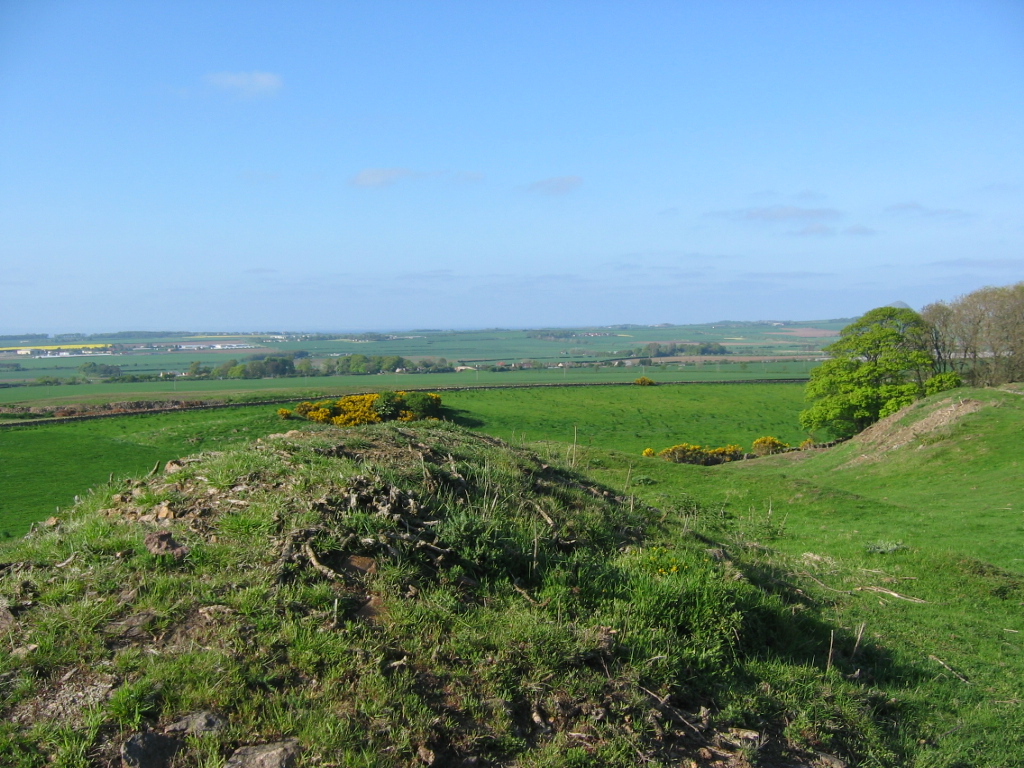
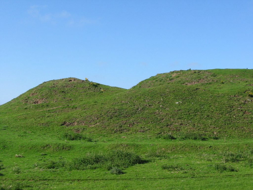
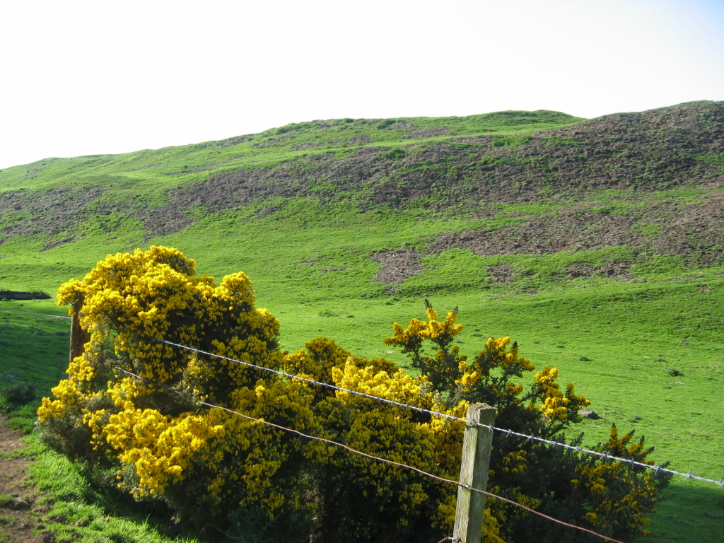
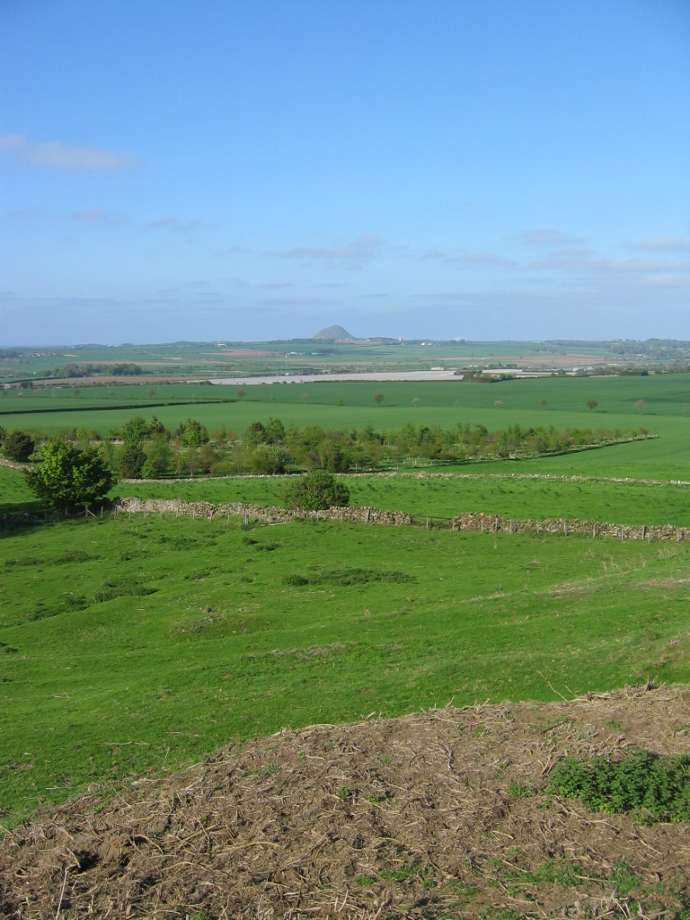
Blackcastle Hill, East Lothian — Blackcastle Hill is an iron age hill fort south of Innerwick, East Lothian, Scotland. It is near Cocklaw in the Lammermuir Hills at gbmapping|NT729724, at a height of convert|280|m|ft above sea level. The fort has a single defensive bank.… … Wikipedia
List of places in East Lothian — The List of places in East Lothian is a list for any town, village, hamlet, castle, golf course, historic house, hillfort, lighthouse, nature reserve, reservoir, river, and other place of interest in East Lothian, Scotland.A* Aberlady and… … Wikipedia
Traprain Law — is a hill about 221m (724 feet) in elevation, located 6km (4 miles) east of Haddington in East Lothian, Scotland. It is the site of an oppidum or hill fort, which covered at its maximum extent about 16 ha (40 acres) and must have been a veritable … Wikipedia
Black Castle, East Lothian — is an iron age hillfort with a number of defensive banks, at Newlands, Danskine, East Lothian, Scotland, UK, on the B6355, between Darent House and Green Castle, East Lothian hillfort. Grid reference NT580661.The fort is on the summit of a… … Wikipedia
Drem — Coordinates: 56°00′21″N 2°47′14″W / 56.00592°N 2.78735°W / 56.00592; 2.78735 … Wikipedia
East Lothian — For other uses, see East Lothian (disambiguation). Haddingtonshire redirects here. See also Haddingtonshire (UK Parliament constituency). East Lothian Aest Lowden Lodainn an Ear Location … Wikipedia
East Lothian — Lodainn an Ear Verwaltungssitz Haddington Fläche 679 km² (18.) … Deutsch Wikipedia
GB-ELN — East Lothian Lodainn an Ear Verwaltungssitz Haddington Fläche 679 km² (18.) … Deutsch Wikipedia
Haddingtonshire — East Lothian Lodainn an Ear Verwaltungssitz Haddington Fläche 679 km² (18.) … Deutsch Wikipedia