- Manantenina
-
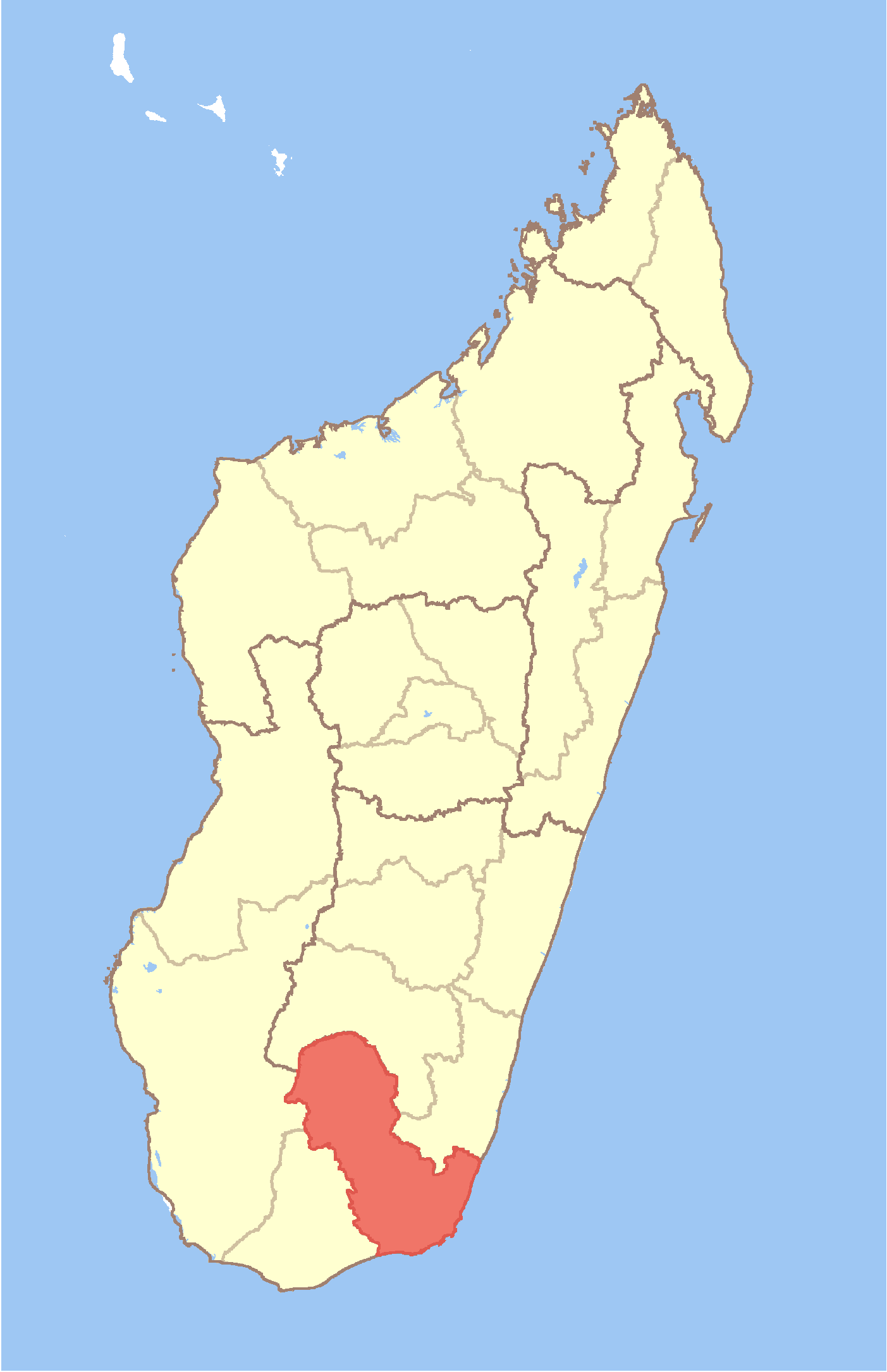
Manantenina Location in Madagascar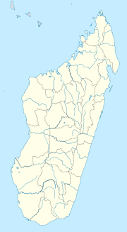
 Manantenina
Coordinates: 24°17′S 47°19′E / 24.283°S 47.317°E Country  Madagascar
Region Anosy District Taolanaro Elevation[1] 16 m (52 ft) Population (2001)[2] - Total 19,000 Time zone EAT (UTC3) Manantenina is a town and commune in Madagascar. It belongs to the district of Taolanaro, which is a part of Anosy Region. The population of the commune was estimated to be approximately 19,000 in 2001 commune census.[2]
Primary and junior level secondary education are available in town. The majority 50% of the population works in fishing. 35% are farmers, while an additional 10% receives their livelihood from raising livestock. The most important crop is cassava, while other important products are sweet potatos and rice. Services provide employment for 5% of the population.[2]
References and notes
- ^ Estimated based on DEM data from Shuttle Radar Topography Mission
- ^ a b c "ILO census data". Cornell University. 2002. http://www.ilo.cornell.edu/ilo/data.html. Retrieved 2008-05-04.
Amboasary Sud 
Betroka Ambalasoa · Ambatomivary · Analamary · Andriandampy · Beapombo I · Beapombo II · Bekorobo · Benato-Toby · Betroka · Iaborotra · Ianabinda · Ianakafy · Isoanala · Ivahona · Jangany · Mahabo · Mahasoa Est · Nagnarena · Naninora · TsaraitsoTaolanaro Ambatoabo · Ampasimena · Ampasy Nahampoa · Analamary · Analapatsy · Andranombory · Ankaramena · Bevoay · Enakara-Haut · Enaniliha · Fenoevo · Iabakoho · Ifarantsa · Isaka-Ivondro · Mahatalaky · Manambaro · Manantenina · Mandiso · Mandromodromotra · Ranomafana · Ranopiso · Sarasambo · Soanierana · TôlanaroCoordinates: 24°17′S 47°19′E / 24.283°S 47.317°E

This Anosy location article is a stub. You can help Wikipedia by expanding it.