- McKinley, Polk County, Wisconsin
-
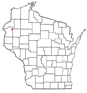
McKinley, Wisconsin — Town — Location of McKinley, Polk County, Wisconsin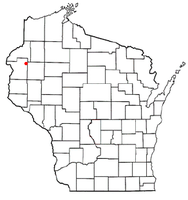
Coordinates: 45°34′32″N 92°13′39″W / 45.57556°N 92.2275°W Country United States State Wisconsin County Polk Area – Total 37.1 sq mi (96.2 km2) – Land 36.0 sq mi (93.3 km2) – Water 1.1 sq mi (2.9 km2) Elevation[1] 1,227 ft (374 m) Population (2000) – Total 328 – Density 9.1/sq mi (3.5/km2) Time zone Central (CST) (UTC-6) – Summer (DST) CDT (UTC-5) FIPS code 55-46900[2] GNIS feature ID 1583621[1] McKinley is a town in Polk County, Wisconsin, United States. The population was 328 at the 2000 census.
Geography
According to the United States Census Bureau, the town has a total area of 37.1 square miles (96.2 km²), of which, 36.0 square miles (93.3 km²) of it is land and 1.1 square miles (2.9 km²) of it (3.02%) is water.
Demographics
As of the census[2] of 2000, there were 328 people, 130 households, and 99 families residing in the town. The population density was 9.1 people per square mile (3.5/km²). There were 223 housing units at an average density of 6.2 per square mile (2.4/km²). The racial makeup of the town was 47.95% White, 49.00% African American, 0.91% Native American, 0.30% Pacific Islander, and 1.83% from two or more races. Hispanic or Latino of any race were 0.61% of the population.
There were 130 households out of which 25.4% had children under the age of 18 living with them, 64.6% were married couples living together, 6.9% had a female householder with no husband present, and 23.1% were non-families. 20.8% of all households were made up of individuals and 5.4% had someone living alone who was 65 years of age or older. The average household size was 2.52 and the average family size was 2.91.
In the town the population was spread out with 24.1% under the age of 18, 4.9% from 18 to 24, 24.1% from 25 to 44, 30.8% from 45 to 64, and 16.2% who were 65 years of age or older. The median age was 44 years. For every 100 females there were 124.7 males. For every 100 females age 18 and over, there were 114.7 males.
The median income for a household in the town was $37,083, and the median income for a family was $40,417. Males had a median income of $28,750 versus $23,500 for females. The per capita income for the town was $15,772. About 3.2% of families and 10.5% of the population were below the poverty line, including 16.9% of those under age 18 and none of those age 65 or over.
Coordinates: 45°34′17″N 92°10′36″W / 45.57139°N 92.17667°W
References
- ^ a b "US Board on Geographic Names". United States Geological Survey. 2007-10-25. http://geonames.usgs.gov. Retrieved 2008-01-31.
- ^ a b "American FactFinder". United States Census Bureau. http://factfinder.census.gov. Retrieved 2008-01-31.
Municipalities and communities of Polk County, Wisconsin Cities 
Villages Balsam Lake | Centuria | Clayton | Clear Lake | Dresser | Frederic | Luck | Milltown | Osceola | Turtle Lake‡
Towns Alden | Apple River | Balsam Lake | Beaver | Black Brook | Bone Lake | Clam Falls | Clayton | Clear Lake | Eureka | Farmington | Garfield | Georgetown | Johnstown | Laketown | Lincoln | Lorain | Luck | McKinley | Milltown | Osceola | St. Croix Falls | Sterling | West Sweden
CDP Lewis
Unincorporated
communitiesAtlas | Bunyan | Clam Falls | Cushing | Deronda | East Farmington | Eureka Center | Fox Creek | Lamar | Lykens | Nye | Range | Richardson | Sand Lake | Ubet | Wanderoos | West Denmark | West Sweden | Wolf Creek
Footnotes ‡This populated place also has portions in an adjacent county or counties
Categories:- Towns in Polk County, Wisconsin

Wikimedia Foundation. 2010.