- West Salem, Wisconsin
-
West Salem, Wisconsin — Village — Downtown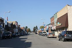 Location of West Salem, Wisconsin
Coordinates: 43°53′59″N 91°5′12″W / 43.89972°N 91.08667°WCoordinates: 43°53′59″N 91°5′12″W / 43.89972°N 91.08667°W Country United States State Wisconsin County La Crosse Government – Village President Dennis Manthei – Village Administrator Teresa Schnitzler Area – Total 2.4 sq mi (6.2 km2) – Land 2.4 sq mi (6.2 km2) – Water 0.0 sq mi (0.0 km2) Elevation[1] 741 ft (226 m) Population (2010) – Total 4,799 – Density 1,911.2/sq mi (737.9/km2) Time zone Central (CST) (UTC-6) – Summer (DST) CDT (UTC-5) Area code(s) 608 FIPS code 55-86275[2] GNIS feature ID 1576552[1] West Salem is a village in La Crosse County, Wisconsin, United States, along the La Crosse River. It is part of the La Crosse Metropolitan Area. The population was 4,799 at the 2010 census.
Contents
History
West Salem was platted in 1856. It was named Salem by a Baptist minister named Elder Card because the word meant "peace". The word West was added to the name when mail was confused with another town in the state named Salem.[3]
The donation of approximately ten acres of land to a railway company led to the creation of West Salem. A train station was built in West Salem on the original Milwaukee and La Crosse Railway which ran to La Crosse. It was later taken over by the Chicago, Milwaukee and St. Paul Railway (later becoming the Chicago, Milwaukee, St. Paul and Pacific Railroad). The railway used the land to build a depot and tracks.[4]
Geography
West Salem is located at 43°53′59″N 91°5′12″W / 43.89972°N 91.08667°W (43.899795, -91.086614).[5]
According to the United States Census Bureau, the village has a total area of 2.4 square miles (6.2 km²), of which, 2.4 square miles (6.2 km²) of it is land and 0.42% is water.
Demographics
As of the census[2] of 2000, there were 4,541 people, 1,706 households, and 1,230 families residing in the village. The population density was 1,911.2 people per square mile (736.5/km²). There were 1,765 housing units at an average density of 743.0 per square mile (286.3/km²). The racial makeup of the village was 98.04% White, 0.51% African American, 0.42% Native American, 0.44% Asian, 0.07% from other races, and 0.53% from two or more races. Hispanic or Latino of any race were 0.59% of the population.
There were 1,706 households out of which 41.4% had children under the age of 18 living with them, 59.0% were married couples living together, 9.3% had a female householder with no husband present, and 27.9% were non-families. 23.6% of all households were made up of individuals and 10.3% had someone living alone who was 65 years of age or older. The average household size was 2.61 and the average family size was 3.09.
In the village the population was spread out with 30.0% under the age of 18, 6.3% from 18 to 24, 31.9% from 25 to 44, 18.9% from 45 to 64, and 12.8% who were 65 years of age or older. The median age was 34 years. For every 100 females there were 95.6 males. For every 100 females age 18 and over, there were 86.6 males.
The median income for a household in the village was $43,449, and the median income for a family was $50,176. Males had a median income of $34,459 versus $22,439 for females. The per capita income for the village was $19,904. About 3.3% of families and 3.5% of the population were below the poverty line, including 4.0% of those under age 18 and 3.4% of those age 65 or over.
Government
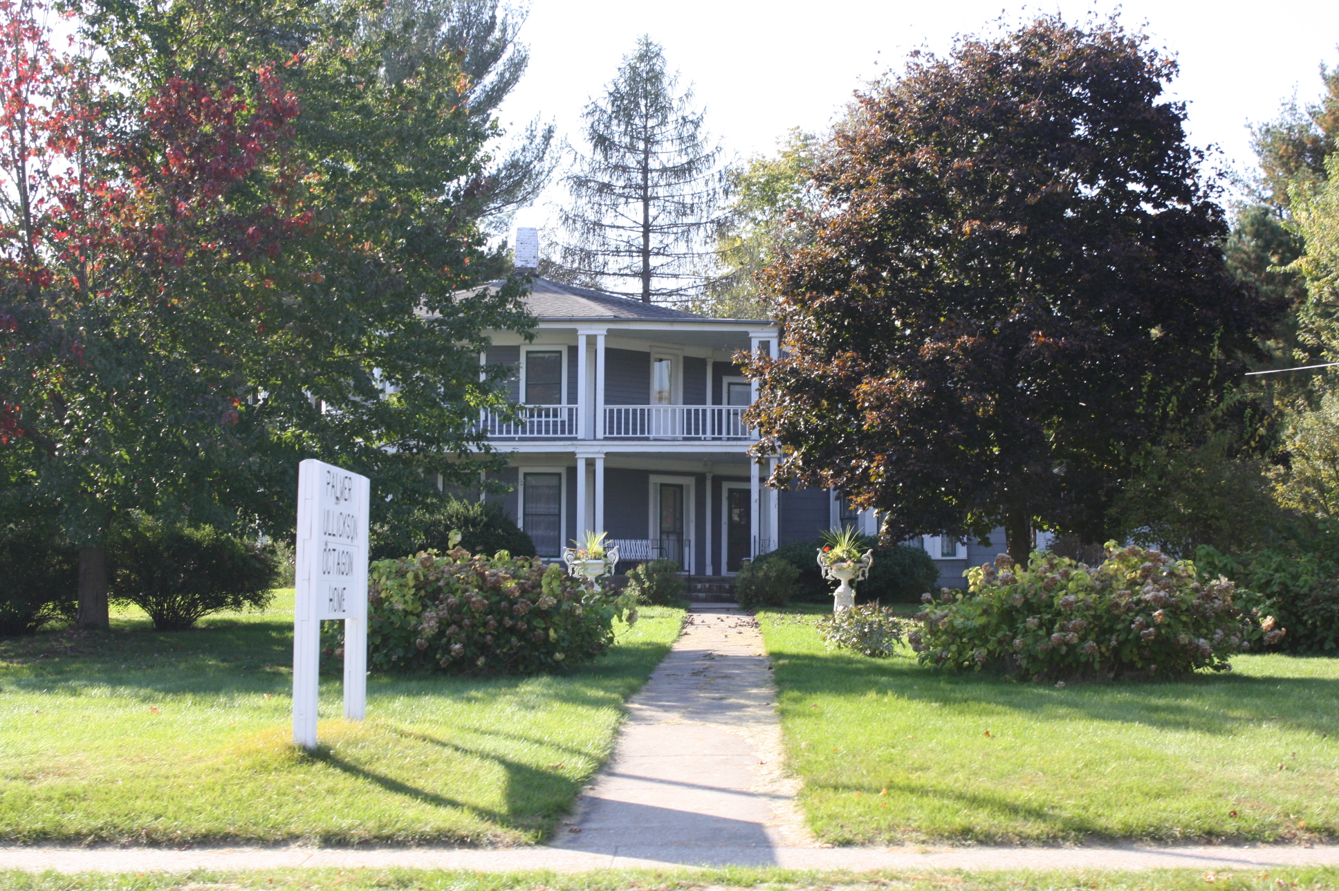
 Palmer-Gullickson Octagon
The village president is Dennis Manthei. The village administrator is Teresa Schnitzler. The village treasurer is Benjamin Heller.
Education
The public West Salem School District consists of:
- West Salem Elementary School
- West Salem Middle School
- West Salem High School
The private schools are:
- Coulee Region Christian School
- Christ Saint John's Lutheran School
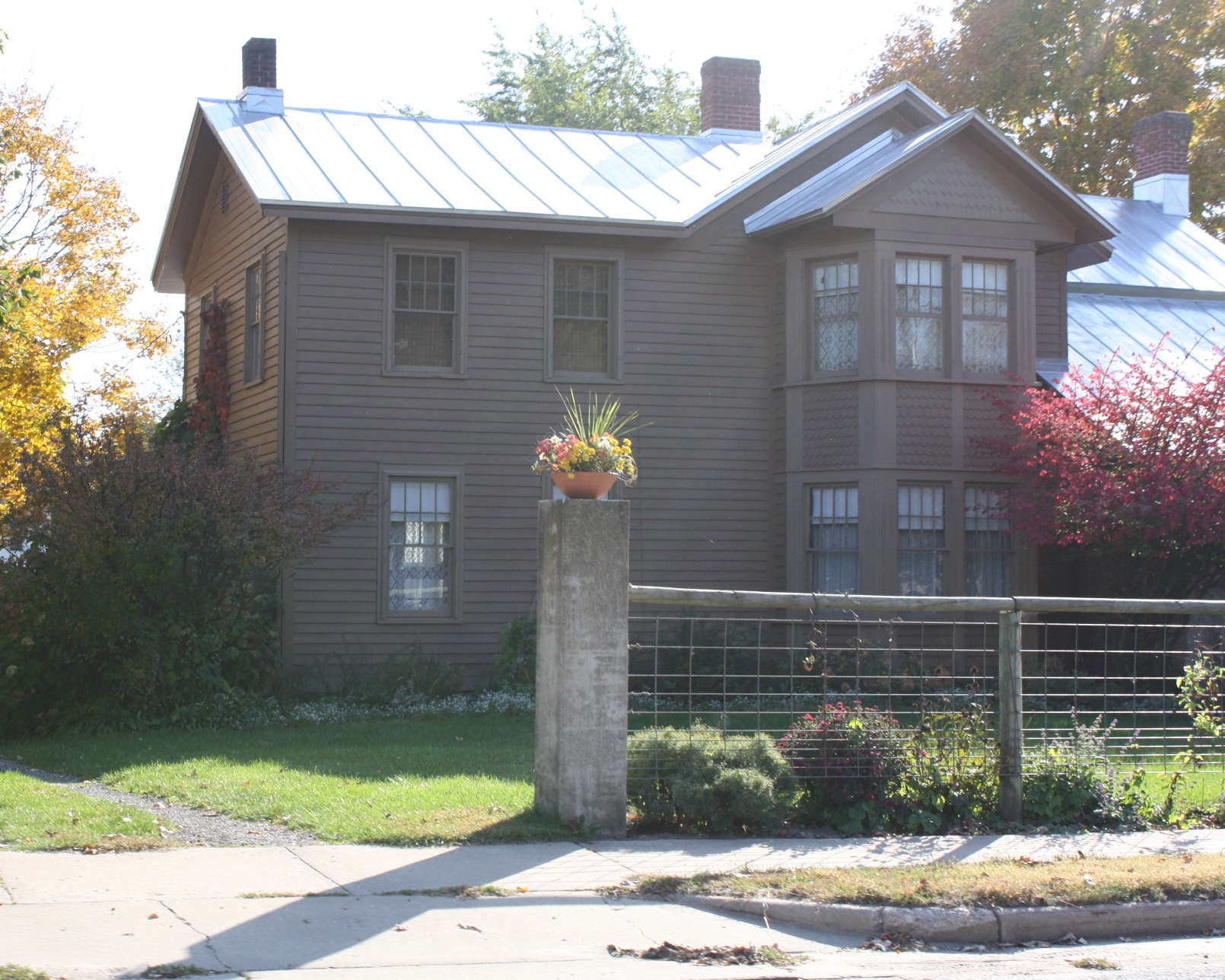
Historic sites
- The Hamlin Garland House
- The Palmer Brother's Octagons
Parks and recreation
 La Crosse Fairgrounds Speedway
- Veterans Memorial Park
- Lake Neshonoc
- La Crosse Fairgrounds Speedway
Notable people
- Charles S. Benton, U.S. Representative from New York
- Tom Black, NBA player, graduated from high school in West Salem.
- George G. Bingham, Oregon jurist
- Frank P. Coburn, United States House of Representatives
- Hamlin Garland, writer - West Salem was his summer house, but he was born here.
- Harry W. Griswold, United States House of Representatives
- Michael Huebsch, Wisconsin State Assembly
- Jay L. Johnson, United States admiral
- Damian Miller, major league baseball player
- Norbert Nuttelman, Wisconsin legislator and farmer
- Arthur H. Parmelee, football coach and physician
Images
-

Looking east at West Salem on WIS 16
-

Post office
-

Community Center
References
- ^ a b "US Board on Geographic Names". United States Geological Survey. 2007-10-25. http://geonames.usgs.gov. Retrieved 2008-01-31.
- ^ a b "American FactFinder". United States Census Bureau. http://factfinder.census.gov. Retrieved 2008-01-31.
- ^ Gard, Robert and L.G. Sorden. The Romance of Wisconsin Placenames. Minocqua, WI: Heartland Press, 1988. ISBN 0-942802-88-8.
- ^ "Railroad Influenced Site of West Salem; Neshonoc Was Village". La Crosse Tribune and Leader-Press. April 6, 1930. Retrieved on 2009-08-04 from the Wisconsin Local History & Biography Articles at the website of the Wisconsin Historical Society[1].
- ^ "US Gazetteer files: 2010, 2000, and 1990". United States Census Bureau. 2011-02-12. http://www.census.gov/geo/www/gazetteer/gazette.html. Retrieved 2011-04-23.
External links
Municipalities and communities of La Crosse County, Wisconsin Cities 
Villages Towns Bangor | Barre | Burns | Campbell | Farmington | Greenfield | Hamilton | Holland | Medary | Onalaska | Shelby | Washington
CDPs Brice Prairie | French Island | St. Joseph
Unincorporated
communitiesBarre Mills | Burns | Burns Corners | Burr Oak | Council Bay | Middle Ridge | Mindoro | New Amsterdam | Stevenstown
Categories:- Populated places in La Crosse County, Wisconsin
- Villages in Wisconsin
- Populated places established in 1856


Wikimedia Foundation. 2010.