- Montrose, West Virginia
-
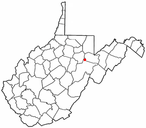
Montrose, West Virginia — Town — Location of Montrose, West Virginia
Coordinates: 39°3′54″N 79°48′53″W / 39.065°N 79.81472°WCoordinates: 39°3′54″N 79°48′53″W / 39.065°N 79.81472°W Country United States State West Virginia County Randolph Area - Total 0.6 sq mi (1.7 km2) - Land 0.6 sq mi (1.7 km2) - Water 0.0 sq mi (0.0 km2) Elevation 1,985 ft (605 m) Population (2000) - Total 156 - Density 243.1/sq mi (93.9/km2) Time zone Eastern (EST) (UTC-5) - Summer (DST) EDT (UTC-4) ZIP code 26283 Area code(s) 304 FIPS code 54-55540[1] GNIS feature ID 1555157[2] Montrose is a town in Randolph County, West Virginia, United States. The population was 156 at the 2000 census.
Geography
Montrose is located at 39°3′54″N 79°48′53″W / 39.065°N 79.81472°W (39.064958, -79.814810),[3] along Leading Creek.[4]
According to the United States Census Bureau, the town has a total area of 0.6 square miles (1.7 km²), all land.
Demographics
As of the census[1] of 2000, there were 156 people, 60 households, and 45 families residing in the town. The population density was 243.1 inhabitants per square mile (94.1/km²). There were 67 housing units at an average density of 104.4 per square mile (40.4/km²). The racial makeup of the town was 99.36% White and 0.64% Asian.
There were 60 households out of which 38.3% had children under the age of 18 living with them, 71.7% were married couples living together, and 25.0% were non-families. 21.7% of all households were made up of individuals and 8.3% had someone living alone who was 65 years of age or older. The average household size was 2.60 and the average family size was 3.07.
In the town the population was spread out with 27.6% under the age of 18, 5.8% from 18 to 24, 34.6% from 25 to 44, 19.9% from 45 to 64, and 12.2% who were 65 years of age or older. The median age was 36 years. For every 100 females there were 97.5 males. For every 100 females age 18 and over, there were 113.2 males.
The median income for a household in the town was $33,571, and the median income for a family was $34,464. Males had a median income of $33,125 versus $16,250 for females. The per capita income for the town was $16,121. About 2.3% of families and 4.0% of the population were below the poverty line, including none of those under the age of eighteen and 7.7% of those sixty five or over.
References
- ^ a b "American FactFinder". United States Census Bureau. http://factfinder.census.gov. Retrieved 2008-01-31.
- ^ "US Board on Geographic Names". United States Geological Survey. 2007-10-25. http://geonames.usgs.gov. Retrieved 2008-01-31.
- ^ "US Gazetteer files: 2010, 2000, and 1990". United States Census Bureau. 2011-02-12. http://www.census.gov/geo/www/gazetteer/gazette.html. Retrieved 2011-04-23.
- ^ West Virginia Atlas & Gazetteer. Yarmouth, Me.: DeLorme. 1997. p. 37. ISBN 0-89933-246-3.
Municipalities and communities of Randolph County, West Virginia County seat: Elkins City 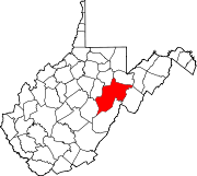
Towns Beverly | Harman | Huttonsville | Mill Creek | Montrose | Womelsdorf (Coalton)
CDPs Bowden | Dailey | East Dailey | Helvetia | Pickens | Valley Bend | Valley Head
Unincorporated
communitiesAdolph | Bemis | Canfield | Cassity | Cheat Bridge | Czar | Dryfork | Elkwater | Ellamore‡ | Fairview (near Elkins) | Fairview (near Helvetia) | Glady | Hazelwood | Jimtown | Job | Kerens | Mabie | Mingo | Monterville | Norton | Osceola | Sullivan | Upper Mingo | Whitmer | Wymer
Footnotes ‡This populated place also has portions in an adjacent county or counties
Categories:- Populated places in Randolph County, West Virginia
- Towns in West Virginia

Wikimedia Foundation. 2010.