Holtze, Northern Territory
- Holtze, Northern Territory
Infobox Australian Place | type = suburb
name = Holtze
city = Darwin
state = nt
caption =
lga = Shire of Litchfield
postcode = 0835
est = 1864
pop = 788 (2006) |pop_footnotes=[Census 2006 AUS]
id = SSC73051
name = Holtze (State Suburb)
accessdate = 2008-03-01
quick = on] area =
propval =
stategov = Nelson
fedgov = Solomon
near-nw = Knuckey Lagoon
near-n =
near-ne =
near-w = Pinelands
near-e = Howard Springs
near-sw = Durack
near-s = Farrar
near-se = Yarrawonga
dist1 = 22.4
location1= Darwin
dist2 = 3.6
location2= Palmerston
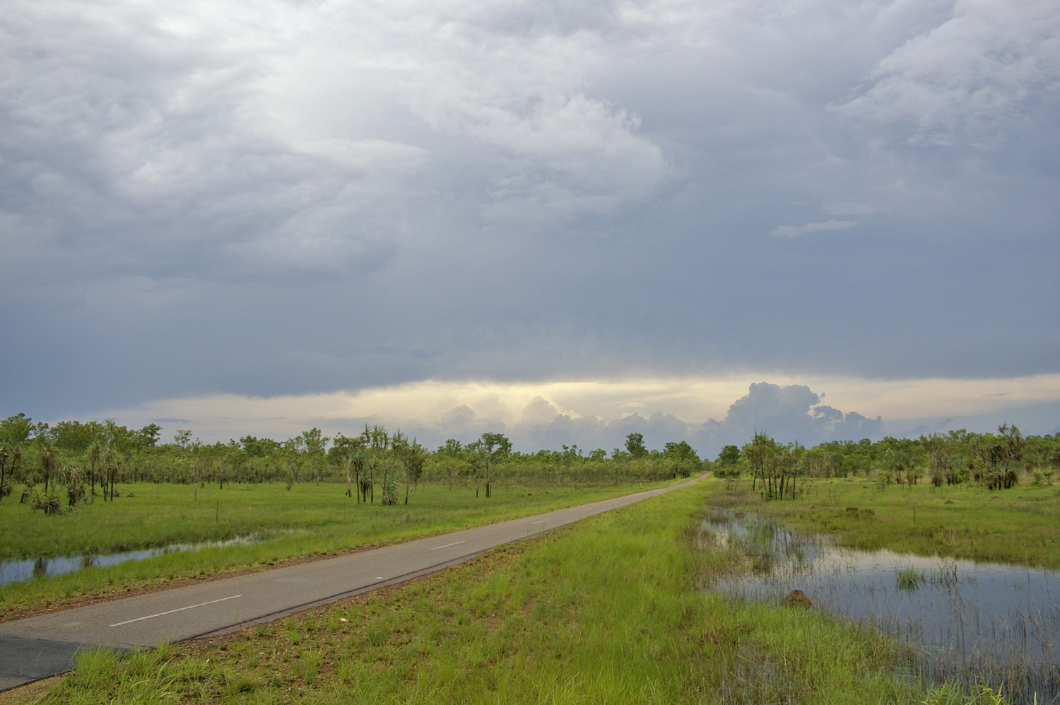
Holtze is an outer rural area of Darwin. It is 22km SE of the Darwin CBD. Its Local Government Area is the Shire of Litchfield. The suburb is mostly a rural area, just north Palmerston.
References
External links
http://www.nt.gov.au/lands/lis/placenames/origins/greaterdarwin.shtml#letter_h
Wikimedia Foundation.
2010.
Look at other dictionaries:
Northern Territory — • Territory in northern Australia Catholic Encyclopedia. Kevin Knight. 2006. Northern Territory Northern Territory † … Catholic encyclopedia
Ludmilla, Northern Territory — Infobox Australian Place | type = suburb name = Ludmilla city = Darwin state = nt caption = Looking up Bagot Road in Ludmilla lga = City of Darwin postcode = 0820 est = 1893 pop = 1,889 (2006) |pop footnotes=Census 2006 AUS | id = SSC71081 | name … Wikipedia
Darwin (Northern Territory) — Darwin … Deutsch Wikipedia
Yarrawonga, Northern Territory — Infobox Australian Place | type = suburb name = Yarrawonga city = Darwin state = nt caption = lga = City of Palmerston postcode = 0830 est = 1980 s pop = 103 pop footnotes=(2006) [cite news|url=http://www.censusdata.abs.gov.au/ABSNavigation/prenav… … Wikipedia
Farrar, Northern Territory — Infobox Australian Place | type = suburb name = Farrar city = Darwin state = nt caption = Looking over the suburb of Farrar lga = City of Palmerston postcode = 0830 est = 1990 s pop = 537 (2006) |pop footnotes=Census 2006 AUS id = SSC72021 name … Wikipedia
Coolalinga, Northern Territory — Coolalinga Darwin, Northern Territory Coolalinga shops … Wikipedia
Noonamah, Northern Territory — Coordinates: 12°38′03″S 131°04′25″E / 12.634172°S 131.073501°E / 12.634172; 131.073501 … Wikipedia
Manton, Northern Territory — Manton Darwin, Northern Territory Manton Dam LGA: Litchfield Municipali … Wikipedia
Murrumujuk, Northern Territory — Murrumujuk Darwin, Northern Territory LGA: Litchfield Municipality Murrumujuk is an outer rural locality of Darwin. It is on the coast of Shoal Bay, south of Gunn Point.[1] … Wikipedia
The Gardens, Northern Territory — Infobox Australian Place | type = suburb name = The Gardens city = Darwin state = nt caption = The Gardens lga = City of Darwin postcode = 0820 est = 1878 pop = 877 (2006) |pop footnotes=Census 2006 AUS|id=SSC71131|name=The Gardens (State… … Wikipedia