- Brodheadsville, Pennsylvania
Geobox Settlement
name = Brodheadsville
native_name =
other_name =
other_name1 =
category =Census-designated place
image_size =
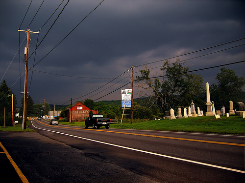
image_caption = Entering Brodheadsville
flag_size =
symbol =
symbol_size =
country = United States
state = Pennsylvania
region = Monroe
region_type = County
district_type = Township
district = Chestnuthill
area_imperial = 4.3
area_land_imperial = 4.3
area_water_imperial = 0.04
area_water_percentage = auto
area_percentage_round = 2
area_round = 1
location =
lat_d = 40
lat_m = 55
lat_s = 36
lat_NS = N
long_d = 75
long_m = 24
long_s = 17
long_EW = W
elevation_imperial = 745
elevation_round = 1
population_as_of = 2000
population = 1637
population_density_imperial = 382.8
population_density_round = 1
established_type =
established =
mayor =
timezone = EST
utc_offset = -5
timezone_DST = EDT
utc_offset_DST = -4
postal_code_type =ZIP Code
postal_code = 18322
area_code = 570
area_code_type =
code2_type =
code2 =
free_type =
free =
free1_type =
free1 =
map_caption = Location of Brodheadsville in Monroe County
map1 = Pennsylvania Locator Map.png
map1_locator = Pennsylvania
map2 = Map of USA PA.svg
map2_caption = Location of Pennsylvania in the United States
website =Brodheadsville is a
census-designated place (CDP) in Monroe County,Pennsylvania ,United States . The population was 1,637 at the 2000 census. The community is served byPleasant Valley School District .Geography
Brodheadsville is located at coor dms|40|55|36|N|75|24|17|W|city (40.926724, -75.404707).GR|1
According to the
United States Census Bureau , the CDP has a total area of 4.3square mile s (11.2km² ).4.3 square miles (11.1 km²) of it is land and 0.04 square miles (0.1 km²) of it (0.93%) is water.Demographics
As of the
census GR|2 of 2000, there were 1,637 people, 602 households, and 461 families residing in the CDP. Thepopulation density was 382.8 people per square mile (147.7/km²). There were 667 housing units at an average density of 156.0/sq mi (60.2/km²). The racial makeup of the CDP was 93.77% White, 2.50% African American, 0.12% Native American, 1.47% Asian, 0.43% from other races, and 1.71% from two or more races. Hispanic or Latino of any race were 2.87% of the population.There were 602 households out of which 35.4% had children under the age of 18 living with them, 64.8% were married couples living together, 9.5% had a female householder with no husband present, and 23.3% were non-families. 18.9% of all households were made up of individuals and 7.0% had someone living alone who was 65 years of age or older. The average household size was 2.71 and the average family size was 3.10.
In the CDP the population was spread out with 26.0% under the age of 18, 8.2% from 18 to 24, 27.3% from 25 to 44, 25.7% from 45 to 64, and 12.8% who were 65 years of age or older. The median age was 38 years. For every 100 females there were 101.6 males. For every 100 females age 18 and over, there were 93.5 males.
The median income for a household in the CDP was $46,389, and the median income for a family was $52,333. Males had a median income of $47,986 versus $21,250 for females. The
per capita income for the CDP was $24,140. About 3.3% of families and 9.2% of the population were below thepoverty line , including 6.4% of those under age 18 and none of those age 65 or over.References
Wikimedia Foundation. 2010.