- Lamorville
-
Lamorville

 LamorvilleLocation within Lorraine region
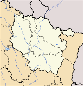 Lamorville
Administration Country France Region Lorraine Department Meuse Arrondissement Arrondissement of Commercy Canton Canton of Vigneulles-lès-Hattonchâtel Intercommunality Communauté de communes du pays de Vigneulles les Hattonchâtel Mayor Bruno Javaux
(2008–2014)Statistics Elevation 222–408 m (728–1,339 ft)
(avg. 247 m/810 ft)Land area1 34.93 km2 (13.49 sq mi) Population2 292 (1999) - Density 8 /km2 (21 /sq mi) INSEE/Postal code 55274/ 55300 1 French Land Register data, which excludes lakes, ponds, glaciers > 1 km² (0.386 sq mi or 247 acres) and river estuaries. 2 Population without double counting: residents of multiple communes (e.g., students and military personnel) only counted once. Coordinates: 48°57′36″N 5°34′44″E / 48.96°N 5.57888888889°E
Lamorville is a commune in the Meuse department in Lorraine in north-eastern France.
See also
- L'Étanche Abbey, Lorraine, located near the village of village of Deuxnouds-aux-Bois, on the territory of the commune
- Communes of the Meuse department
- Parc naturel régional de Lorraine
Categories:- Communes of Meuse
- Meuse geography stubs


Wikimedia Foundation. 2010.