- Gilpin Township, Pennsylvania
Infobox Settlement
official_name = Pagename
settlement_type = Township
nickname =
motto =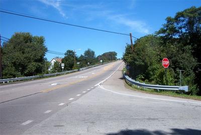
imagesize =
image_caption = Pennsylvania Route 66 in Gilpin Township
image_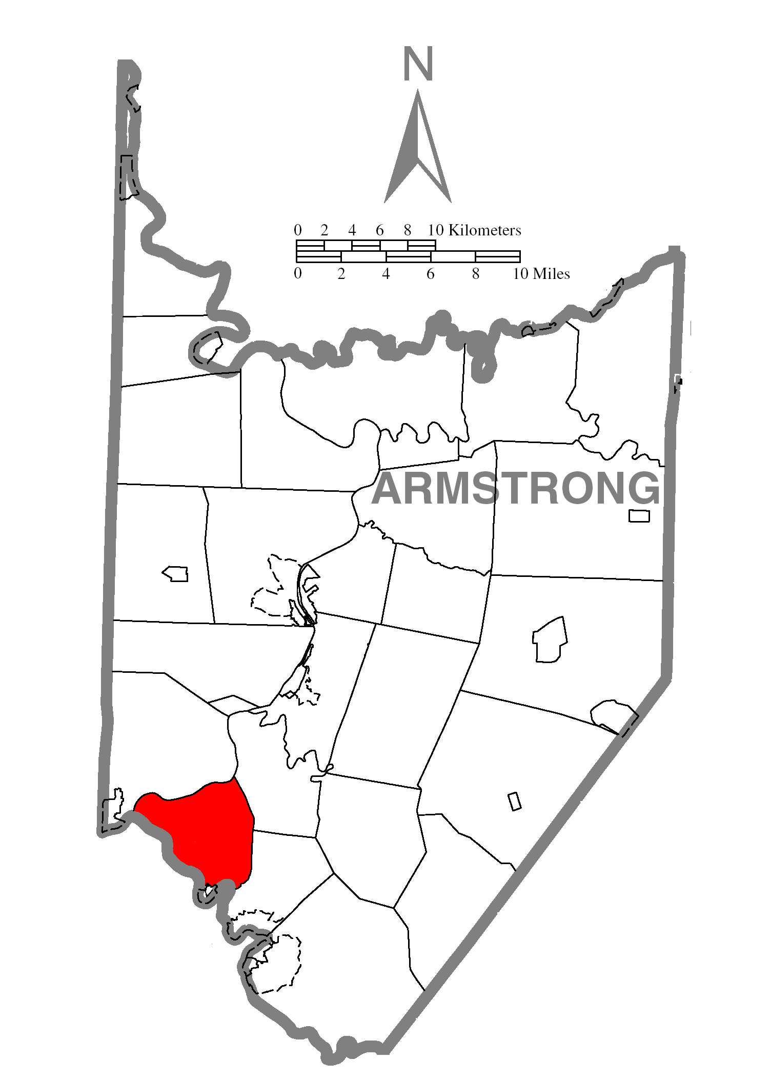
mapsize = 250x200px
map_caption = Map of Armstrong County, Pennsylvania highlighting Gilpin Township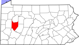
mapsize1 = 250x200px
map_caption1 = Map of Armstrong County, Pennsylvania
subdivision_type = Country
subdivision_name =United States
subdivision_type1 = State
subdivision_name1 =Pennsylvania
subdivision_type2 = County
subdivision_name2 = Armstrong
government_footnotes =
government_type =
leader_title =
leader_name =
leader_title1 =
leader_name1 =
leader_title2 =
leader_name2 =
established_title = Settled
established_date = 1814
established_title1 = Incorporated
established_date1 = 1878
unit_pref = Imperial
area_footnotes =
area_magnitude =
area_total_km2 = 44.4
area_land_km2 = 42.7
area_water_km2 = 1.7
area_total_sq_mi = 17.1
area_land_sq_mi = 16.5
area_water_sq_mi = 0.6
population_as_of = 2000
population_footnotes =
population_total = 2587
population_density_km2 = 60.6
population_density_sq_mi = 157.0
timezone = Eastern (EST)
utc_offset = -5
timezone_DST = EDT
utc_offset_DST = -4
postal_code_type =
postal_code =
area_code =
website =
footnotes =Gilpin Township is a township in Armstrong County,
Pennsylvania ,United States .Pennsylvania Route 66 is the main highway that runs through the township, with Leechburg Borough and Parks Township at each entrance. Gilpin is bordered on the West by theKiskiminetas River and theAllegheny River . Schenley,Pennsylvania is located within Gilpin Township.Geography
According to the
United States Census Bureau , the township has a total area of 17.1square mile s (44.4km² ), of which, 16.5 square miles (42.7 km²) of it is land and 0.7 square miles (1.7 km²) of it (3.91%) is water.Demographics
As of the
census GR|2 of 2000, there were 2,587 people, 1,034 households, and 768 families residing in the township. Thepopulation density was 157.0 people per square mile (60.6/km²). There were 1,114 housing units at an average density of 67.6/sq mi (26.1/km²). The racial makeup of the township was 97.99% White, 1.01% African American, 0.04% Native American, 0.19% Asian, 0.12% Pacific Islander, 0.04% from other races, and 0.62% from two or more races. Hispanic or Latino of any race were 0.19% of the population.There were 1,034 households out of which 26.6% had children under the age of 18 living with them, 63.6% were married couples living together, 6.8% had a female householder with no husband present, and 25.7% were non-families. 23.0% of all households were made up of individuals and 13.3% had someone living alone who was 65 years of age or older. The average household size was 2.49 and the average family size was 2.91.
In the township the population was spread out with 20.4% under the age of 18, 6.5% from 18 to 24, 26.8% from 25 to 44, 25.4% from 45 to 64, and 20.9% who were 65 years of age or older. The median age was 43 years. For every 100 females there were 101.2 males. For every 100 females age 18 and over, there were 98.1 males.
The median income for a household in the township was $38,958, and the median income for a family was $47,652. Males had a median income of $37,500 versus $22,011 for females. The
per capita income for the township was $17,520. About 6.0% of families and 7.0% of the population were below thepoverty line , including 4.1% of those under age 18 and 11.2% of those age 65 or over.References

Wikimedia Foundation. 2010.