- Fredericia Municipality
Geobox Region
color = #c0ccfa
name = Fredericia municipality
native_name = Fredericia Kommune
other_name =
other_name1 =
category =
image_size =
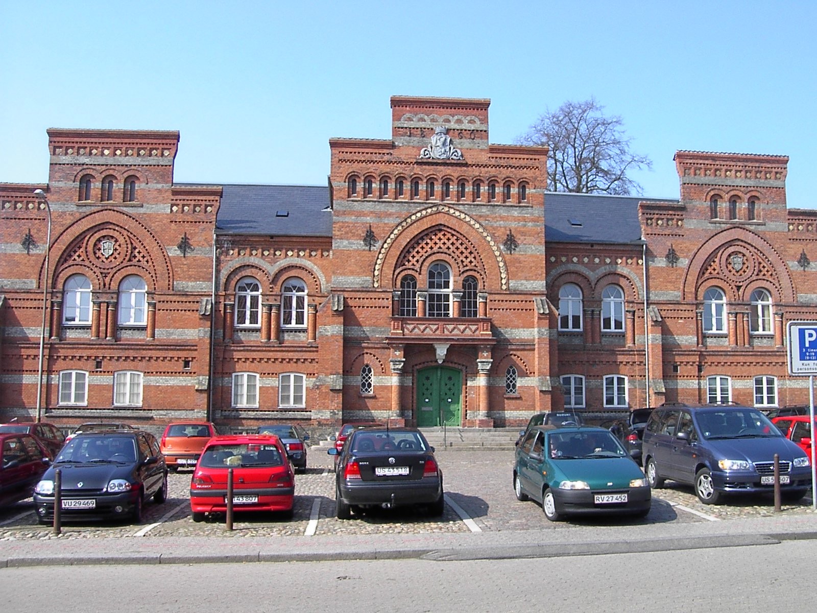
image_caption = The old courthouse in Fredericia
flag_size =
symbol =
symbol_size =
symbol_caption =
country = Denmark
state =
region =Region Syddanmark
district =
capital =Fredericia
capital_type = Seat
capital_lat_d = 55
capital_lat_m = 35
capital_lat_s =
capital_lat_NS = N
capital_long_d = 9
capital_long_m = 46
capital_long_s =
capital_long_EW = E
capital_elevation =
city_type =
city =
part_type =
part_count =
part =
part1 =
area = 134.46
highest =
highest location =
highest_lat_d =
highest_lat_m =
highest_lat_s =
highest_lat_NS =
highest_long_d =
highest_long_m =
highest_long_s =
highest_long_EW =
highest_elevation =
lowest =
lowest_location =
lowest_lat_d =
lowest_lat_m =
lowest_lat_s =
lowest_lat_NS =
lowest_long_d =
lowest_long_m =
lowest_long_s =
lowest_long_EW =
lowest_elevation =
population_as_of = 2008
population = 49463
population_density =
established_type = Current municipality
established = 1970
leader =Uffe Steiner Jensen
leader_party = Social Democrats
leader_type = Mayor
timezone = CET
utc_offset = 1
timezone_DST = CEST
utc_offset_DST = 2
code_type =
code =
code1_type =
code1 =
free_type =
free =
free1_type =
free1 =

map_size = 200
map_caption =
map_locator =
map_locator_x =
map_locator_y =
map_first = 1
website = [http://www.fredericia.dk www.fredericia.dk]
footnotes =Fredericia municipality is a municipality (Danish, "kommune") on the east coast of the
Jutland peninsula in south-centralDenmark . Its belongs toRegion Syddanmark , covers an area of 134.46 km², and has a total population of 49,463 (2008). Mayor is Uffe Steiner Jensen, representing the Social Democrats (Socialdemokraterne) political party.The municipality's main town and the site of its municipal council is the city of
Fredericia .Neighboring municipalities are Vejle to the north, Kolding to the west, and Middelfart to the east, albeit separated from the municipality by the waters of the
Lillebælt , thestrait , that separates the Jutland mainland from the island ofFunen in this area, where the two lie very close to each other, often less than 1.5 km apart. "Snævringen" is an extension of the Kattegat, and begins near the cities ofFredericia andMiddelfart .The municipality was created as the result of the "kommunalreform" ("Municipal Reform") in 1970. Fredericia municipality was not merged with other municipalities in the
2007 nationwide "Kommunalreformen" ("Municipal Reform"). Before 2007, the municipality was surrounded by the municipalities of Børkop to the north, Kolding to the west, and Middelfart to the east and belonged toVejle County .Municipality population
As of
January 1 :
*1980 - 45,820
*1985 - 45,879
*1990 - 46,072
*1995 - 47,037
*1999 - 47,947
*2000 - 48,066
*2003 - 48,533
*2004 - 48,857
*2005 - 49,147
*2006 - 49,252The city of Fredericia
The city of Fredericia was founded in
1650 by Frederik III, after whom it was named. Fredericia was almost selected as the Danish capital, due to its central location and large port; but in the endCopenhagen became the focus of attention due to its massive population.The city is one of
Denmark 's largest traffic hubs, and is home to the army's Signals Regiment ("Telegrafregimentet "), which is located at Ryes Barracks ("Ryes Kaserne") and Bülows Barracks ("Bülows Kaserne").ister cities
*flagicon|Norway
Kristiansund ,Norway
*flagicon|SwedenHärnösand ,Sweden
*flagicon|FinlandKokkola ,Finland
*flagicon|GermanyHerford ,Germany External links
* [http://www.fredericia.dk/ Official website] da icon
* [http://www.fredericiakommune.dk/FredericiaKommune/TopMenu/forside/English Official website] en iconReferences
* Municipal statistics: [http://www2.netborger.dk/Kommunefakta/ NetBorger Kommunefakta] , delivered from [http://www.kmd.dk/ KMD aka Kommunedata (Municipal Data)]
* Municipal mergers and neighbors: [http://kommune.eniro.dk/danmarkskort/ Eniro new municipalities map]
Wikimedia Foundation. 2010.