- Montcornet, Aisne
-
Montcornet


 Montcornet
Administration Country France Region Picardy Department Aisne Arrondissement Laon Canton Rozoy-sur-Serre Intercommunality Portes de la Thiérache Mayor Guy Le Provost
(2008–2014)Statistics Elevation 108–177 m (354–581 ft)
(avg. 112 m/367 ft)Land area1 5.74 km2 (2.22 sq mi) Population2 1,634 (2008) - Density 285 /km2 (740 /sq mi) INSEE/Postal code 02502/ 02340 1 French Land Register data, which excludes lakes, ponds, glaciers > 1 km² (0.386 sq mi or 247 acres) and river estuaries. 2 Population without double counting: residents of multiple communes (e.g., students and military personnel) only counted once. Coordinates: 49°41′47″N 4°01′05″E / 49.696389°N 4.018055°E
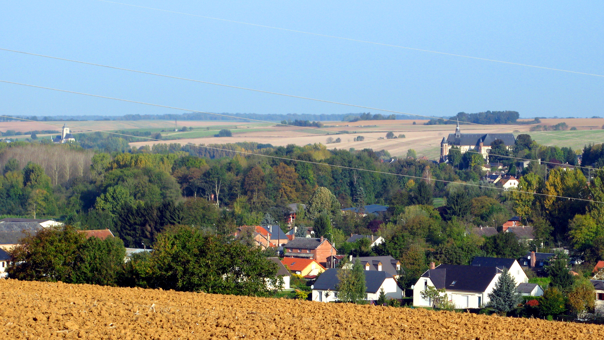
Montcornet is a commune in the Aisne department in Picardy in northern France.
Contents
Battle of Montcornet
On 14 May 1940, Charles de Gaulle was given command of the new 4th Armored Division and ordered to execute a counterattack toward Montcornet, with the objective of slowing the German advance. This was one of the only counterattacks of the French campaign that succeeded in repulsing the German troops.
Population
Historical population of Montcornet, Aisne 1962 1968 1975 1982 1990 1999 2008 1439 1486 1623 1781 1755 1690 1634 See also
References
Categories:- Communes of Aisne
- Laon arrondissement geography stubs


Wikimedia Foundation. 2010.