- Northern Maine Regional Airport at Presque Isle
-
For the military use of this facility prior to 1961, see Presque Isle Air Force Base.
Northern Maine Regional Airport at Presque Isle 

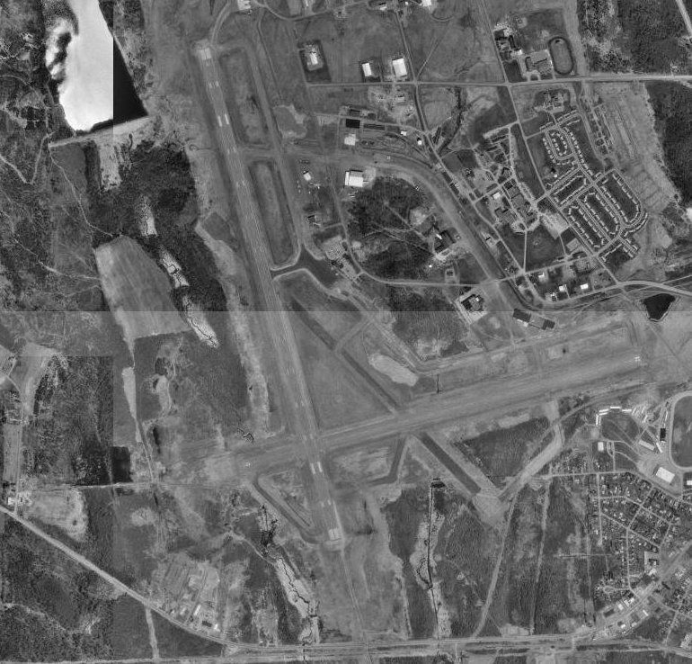
USGS aerial photo as of 9 May 1996 IATA: PQI – ICAO: KPQI – FAA LID: PQI Location of the Airport in Maine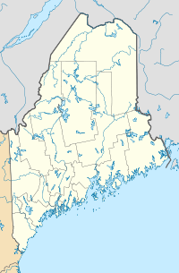
 PQI
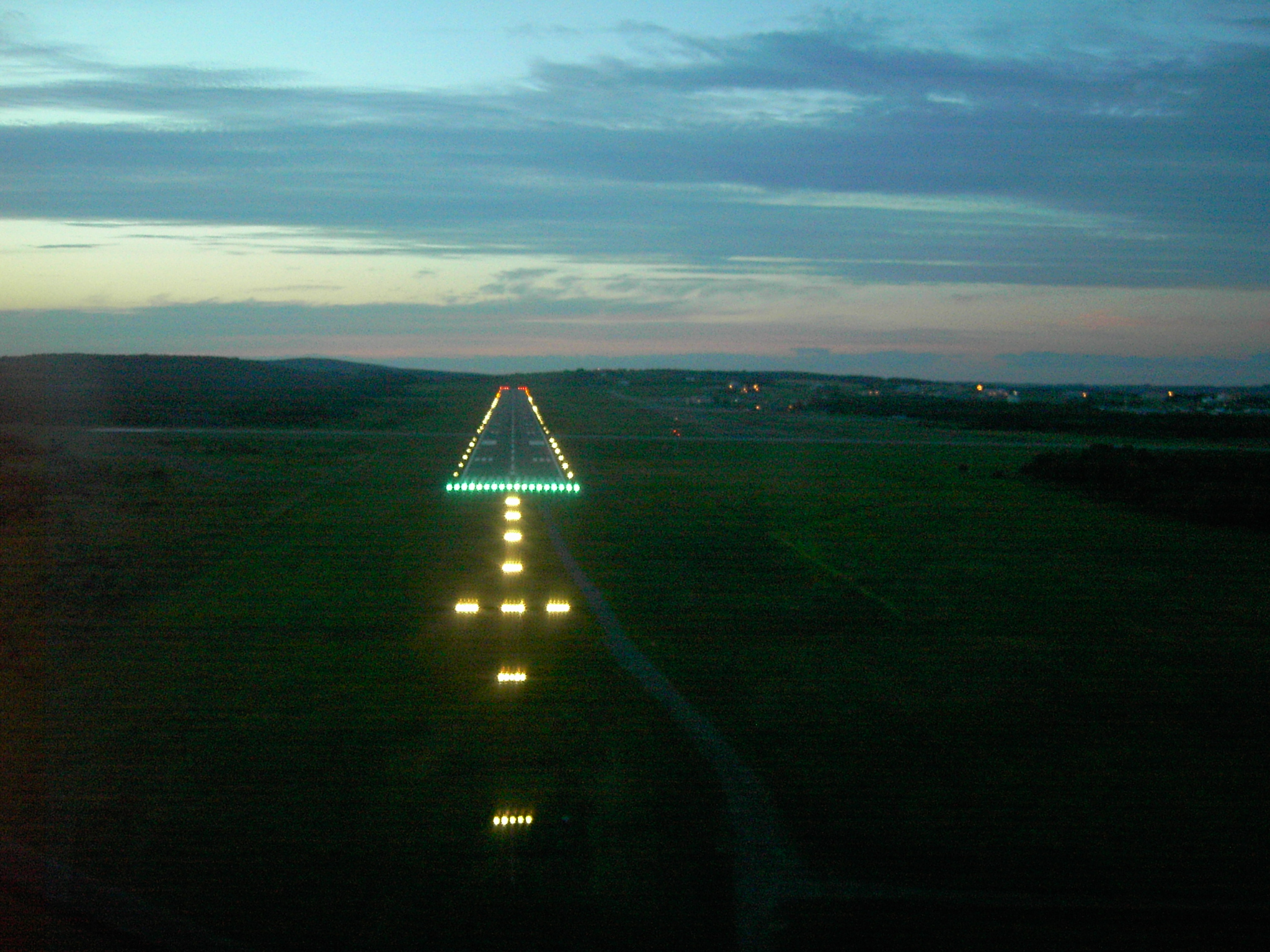
PQISummary Airport type Public Owner City of Presque Isle Serves Presque Isle, Maine Elevation AMSL 534 ft / 163 m Coordinates 46°41′20″N 068°02′41″W / 46.68889°N 68.04472°W Runways Direction Length Surface ft m 1/19 7,439 2,267 Asphalt 10/28 5,994 1,827 Asphalt Statistics (2007) Aircraft operations 4,684 Based aircraft 22 Sources: airport website[1] and FAA[2] 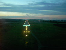 Landing runway 1 at PQI.
Northern Maine Regional Airport at Presque Isle (IATA: PQI, ICAO: KPQI, FAA LID: PQI) is a city-owned public-use airport located one nautical mile (2 km) northwest of the central business district of Presque Isle, a city in Aroostook County, Maine, United States.[2] It serves the residents of Presque Isle, Maine, and a vast area of northern Maine and northwestern New Brunswick with commercial and charter aviation services. Airline service is subsidized by the Essential Air Service program with daily service to Logan International Airport in Boston.
The airport is home to the second longest commercial runway in Maine (second only to Bangor International Airport), and third longest overall (after the Loring Commerce Centre, formerly Loring Air Force Base) and is often advertised as the "Gateway to Northern Maine."
The airport was once hub to Aroostook Airways, a commuter airline which operated in the 1970s, with service to several destinations throughout New England.[3]
Contents
History
World War Two
During World War II, the federal government appropriated the airport, establishing an air base for planes bound to and from Great Britain. Lane Construction of Hampden, Maine, was one of the contractors who worked on upgrading the airport for the military. Almost overnight, Presque Isle Army Airfield became a vital air transport installation and the city found itself a busy war center. During the Second World War, Clark Gable was briefly stationed at Presque Isle before being sent to England. Operations during this period were described by Ernest K. Gann, based upon his personal experiences in the Air Transport Command, in his book, Fate Is The Hunter.
Post war
When the United States Air Force closed Presque Isle Air Force Base in 1961, the former Air Force Base was redeveloped. Presque Isle is home the University of Maine at Presque Isle, as well as the Northern Maine Community College. Scheduled commercial air service is available through Northern Maine Regional Airport in Presque Isle. General aviation services are available through both Northern Maine Regional Airport and Caribou Municipal Airport.
In addition, the Skyway Industrial Park sits adjacent to Northern Maine Regional Airport which offers commercial airline as well as general aviation services to the entire region. FedEx and United Parcel Service augment park accessibility by air to and from major markets.
Skyway Industrial Park, owned by the city of Presque Isle and administered by the Presque Isle Industrial Council, has been attractive to a variety of new businesses. To date, over 40 companies have located on the park. The park consists of 440 acres (1.8 km2), of which 175 is prime industrial land served by all utilities, streets, subdivided and available for further development. Located adjacent to the airport and within 1.5 miles (2.4 km) of downtown, the park has become a dominant feature in the local and regional economy.
Facilities and aircraft
Northern Maine Regional Airport at Presque Isle covers an area of 1,489 acres (603 ha) at an elevation of 534 feet (163 m) above mean sea level. It has two asphalt paved runways: 1/19 measuring 7,439 by 150 feet (2,267 by 46 m) and 10/28 measuring 5,994 by 150 feet (1,827 by 46 m).[2]
For the 12-month period ending July 31, 2007, the airport had 4,684 aircraft operations, an average of 12 per day: 49% general aviation, 42% scheduled commercial, 7% air taxi and 2% military. At that time there were 22 aircraft based at this airport: 77% single-engine and 23% multi-engine.[2]
Aircraft servicing Presque Isle include: Saab 340 operated by US Airways Express; Cessna 208 Caravan and Beechcraft C99 operated by Wiggins Airways; and Embraer 110 Bandeirante operated by AirNow.
Airlines and destinations
Airlines Destinations US Airways Express operated by Colgan Air Boston Air cargo operators and destinations
Airlines Destinations AirNow operating as Business Airfreight Bangor FedEx Feeder operated by Wiggins Airways Manchester (NH), Portland (ME) References
- ^ Northern Maine Regional Airport at Presque Isle, official site
- ^ a b c d FAA Airport Master Record for PQI (Form 5010 PDF), effective 2008-06-05
- ^ AirTimes.com
External links
- FAA Terminal Procedures for PQI, effective 20 October 2011
- Resources for this airport:
- AirNav airport information for KPQI
- ASN accident history for PQI
- FlightAware airport information and live flight tracker
- NOAA/NWS latest weather observations
- SkyVector aeronautical chart, Terminal Procedures for KPQI
Categories:- Airports in Maine
- Essential Air Service
- Transportation in Aroostook County, Maine
- Buildings and structures in Aroostook County, Maine
- Presque Isle, Maine

Wikimedia Foundation. 2010.