- Winkler County Airport
Infobox Airport
name = Winkler County Airport
nativename =
nativename-a =
nativename-r =
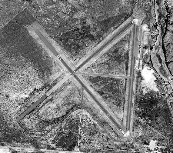
image-width =
caption =
IATA = INK
ICAO = KINK
type = Public
owner =
operator = Winkler County, Texas
city-served =
location =
elevation-f = 2,822
elevation-m = 860
coordinates = Coord|31|46|46.66|N|103|12|04.903|W|type:airport_region:US|display=inline,title
website =
metric-elev =
metric-rwy =
r1-number = 13/31
r1-length-f = 5,000
r1-length-m = 1,524
r1-surface = Asphalt
r2-number = 4/22
r2-length-f = 3,515
r2-length-m = 1,071
r2-surface = Asphalt
stat-year =
stat1-header =
stat1-data =
stat2-header =
stat2-data =
footnotes =Winkler County Airport Airport codes|INK|KINK is a general aviation airport located 3 miles NW of
Wink, Texas .It is owned and operated by
Winkler County, Texas ,Kermit, Texas .History
The airport was opened in August 1941 as Wink Field and was used by the
United States Army Air Forces as a training base. At the end of the war the airfield was determined to be excess by the military and turned over to the local government for civil use.See also
*
Texas World War II Army Airfields References
* [http://www.airnav.com/airport/KINK AirNav.Com - Winkler County Airport (KINK)]
* Thole, Lou (1999), Forgotten Fields of America : World War II Bases and Training, Then and Now - Vol. 2. Publisher: Pictorial Histories Pub, ISBN 1575100517External links
Wikimedia Foundation. 2010.