- Mount Hermon, California
-
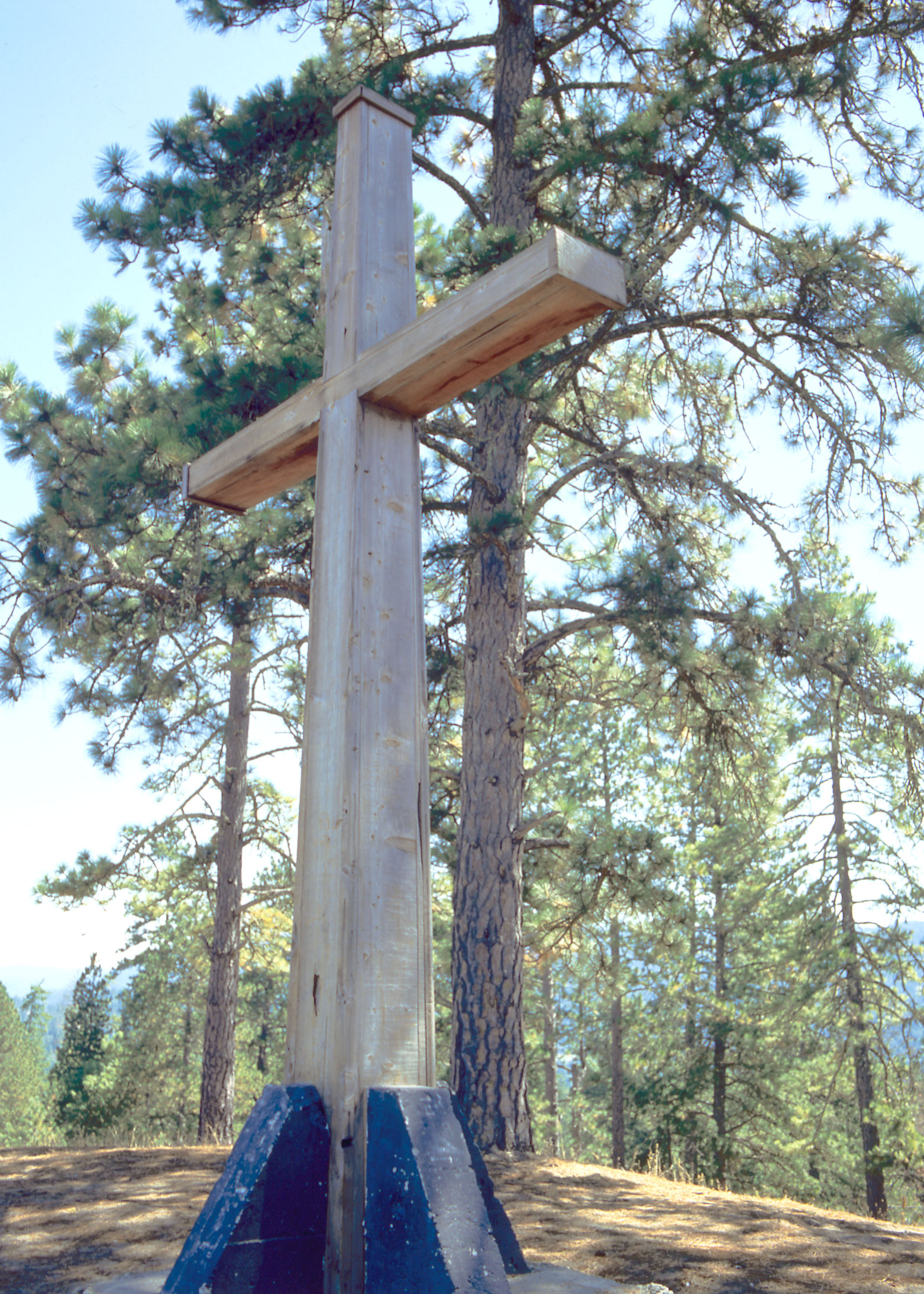
Mount Hermon — Census-designated place — Cross on the summit of Mount Hermon

 Mount Hermon
Coordinates: 37°3′4″N 122°3′27″W / 37.05111°N 122.0575°WCoordinates: 37°3′4″N 122°3′27″W / 37.05111°N 122.0575°W Country  United States
State  California
County Santa Cruz County Area[1] – Total 0.889 sq mi (2.303 km2) – Land 0.889 sq mi (2.303 km2) – Water 0 sq mi (0 km2) 0% Elevation[2] 584 ft (178 m) Population (2010) – Total 1,037 – Density 1,166.2/sq mi (450.3/km2) ZIP code 95041 Area code(s) 831 U.S. Geological Survey Geographic Names Information System: Mount Hermon, California Mount Hermon is an unincorporated community and census-designated place (CDP) in Santa Cruz County, California. Mount Hermon is home to extensive conference facilities that include rope courses and rock climbing walls.
Contents
History
For the song, see Tuxedo Junction.In 1841, California's first water-powered sawmill was built at the junction of Bean Creek and Zayante Creek by Peter Lassen, Isaac Graham, J. Majors, and F. Hoeger.
Mount Hermon, known as "Tuxedo Junction" prior to 1906, was a stop on the South Coast Pacific Railroad from Alameda to Santa Cruz.[3] Hotel Tuxedo was on the property; the hotel was purchased and renamed the Zayante Inn on April 14, 1906, by a group which later became the Mount Hermon Association, Inc. The land was to be used as a Christian retreat center, whose dedication day, known as "The Great Day", was July 22, 1906; the event was held at the Zayante Inn with 1400 people in attendance. Speaking at the dedication was Dr. Reuben A. Torrey, President of the Moody Bible Institute in Chicago, Illinois.
The Zayante Inn and surrounding cottages were destroyed by fire on April 18, 1921. At the site, the Mount Hermon Christian Conference Center, with three separate facilities, operates on much of the original property. There are also several hundred privately owned homes, the Mount Hermon post office, and a bookstore.
Geography
According to the United States Census Bureau, the CDP covers an area of 0.9 square miles (2.3 km²), all of it land.
Demographics
The 2010 United States Census[4] reported that Mount Hermon had a population of 1,037. The population density was 1,166.3 people per square mile (450.3/km²). The racial makeup of Mount Hermon was 964 (93.0%) White, 6 (0.6%) African American, 3 (0.3%) Native American, 14 (1.4%) Asian, 1 (0.1%) Pacific Islander, 18 (1.7%) from other races, and 31 (3.0%) from two or more races. Hispanic or Latino of any race were 83 persons (8.0%).
The Census reported that 100% of the population lived in households.
There were 408 households, out of which 128 (31.4%) had children under the age of 18 living in them, 204 (50.0%) were opposite-sex married couples living together, 44 (10.8%) had a female householder with no husband present, 17 (4.2%) had a male householder with no wife present. There were 27 (6.6%) unmarried opposite-sex partnerships, and 6 (1.5%) same-sex married couples or partnerships. 100 households (24.5%) were made up of individuals and 25 (6.1%) had someone living alone who was 65 years of age or older. The average household size was 2.54. There were 265 families (65.0% of all households); the average family size was 3.06.
The population was spread out with 237 people (22.9%) under the age of 18, 81 people (7.8%) aged 18 to 24, 278 people (26.8%) aged 25 to 44, 342 people (33.0%) aged 45 to 64, and 99 people (9.5%) who were 65 years of age or older. The median age was 39.0 years. For every 100 females there were 94.2 males. For every 100 females age 18 and over, there were 93.2 males.
There were 530 housing units at an average density of 596.1 per square mile (230.2/km²), of which 51.5% were owner-occupied and 48.5% were occupied by renters. The homeowner vacancy rate was 0%; the rental vacancy rate was 5.3%. 54.6% of the population lived in owner-occupied housing units and 45.4% lived in rental housing units.
Conference facilities
Mount Hermon today is the site of three conference facilities: Ponderosa Lodge, the main Conference Center, and Redwood Camp. All three facilities are equipped to handle groups of up to 500 people of any age group. Ponderosa Lodge mainly hosts students of junior high and high schools from around the state, including Scotts Valley High School and San Lorenzo Valley High School. Ponderosa Lodge is the primary location for the Mount Hermon Outdoor Science School, and hosts many Men's and Women's conferences throughout the year.
The Conference Center includes accommodation as well as meeting rooms. It usually hosts adult or family groups for week-long gatherings, but is also open to multiple small groups wishing to do activities independently. Redwood camp usually hosts kids between the ages of 5 and 16, but occasionally hosts adult groups.
Each facility has at least one ropes course or climbing wall. Ponderosa Lodge has one climbing tower about 50 ft (15 m) high, and one ropes course with five elements. The Conference Center has two climbing walls and two ropes courses. The Canyon Course and the Ridge Course are the two ropes courses. The Ridge Course has four elements including one 60 ft (18 m) Leap of Faith, and the Canyon Course has separate elements, all chained together so that one element must be accomplished in order to reach the next. There are two climbing walls, one indoors in the newly-built Field House with a height of about 45 ft (14 m) and five different routes. The other ropes course is less than 300 ft (91 m) away from the Field House and has three routes. Redwood Camp has two different Ropes courses without any climbing walls. One is located in the middle of the Redwood Rec Field and has two elements. The other is across Zayante Creek and has six elements including a 30 ft (9.1 m) Leap of Faith and a large Flying Squirrel suspended over Zayante Creek.
References
- ^ U.S. Census
- ^ U.S. Geological Survey Geographic Names Information System: Mount Hermon, California
- ^ The South Pacific Coast Railroad
- ^ All data are derived from the United States Census Bureau reports from the 2010 United States Census, and are accessible on-line here. The data on unmarried partnerships and same-sex married couples are from the Census report DEC_10_SF1_PCT15. All other housing and population data are from Census report DEC_10_DP_DPDP1. Both reports are viewable online or downloadable in a zip file containing a comma-delimited data file. The area data, from which densities are calculated, are available on-line here. Percentage totals may not add to 100% due to rounding. The Census Bureau defines families as a household containing one or more people related to the householder by birth, opposite-sex marriage, or adoption. People living in group quarters are tabulated by the Census Bureau as neither owners nor renters. For further details, see the text files accompanying the data files containing the Census reports mentioned above.
External links
- Santa Cruz Wiki - The People's Guide to Santa Cruz County, California.
- Mount Hermon Christian Conference Center
- Santa Cruz Public Libraries History of Mount Hermon
- Mount Hermon's Outdoor Science School
Municipalities and communities of Santa Cruz County, California Cities 
CDPs Amesti | Aptos | Aptos Hills-Larkin Valley | Ben Lomond | Bonny Doon | Boulder Creek | Brookdale | Corralitos | Davenport | Day Valley | Felton | Freedom | Interlaken | La Selva Beach | Live Oak | Lompico | Mount Hermon | Pajaro Dunes | Paradise Park | Pasatiempo | Pleasure Point | Rio del Mar | Seacliff | Soquel | Twin Lakes | Zayante
Unincorporated
communitiesOpal Cliffs | Summit | Swanton
Ghost
townCategories:- Census-designated places in Santa Cruz County, California
- Unincorporated communities in California


Wikimedia Foundation. 2010.