- Dunkelsteinerwald
-
- This article is about Dunkelsteinerwald, the region. For the village of that name in this region, see Dunkelsteinerwald (municipality).
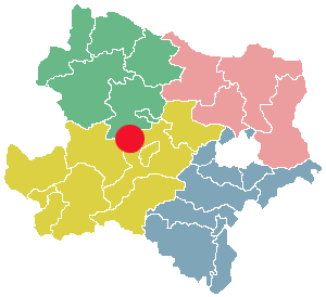
 Region Dunkelsteinerwald
 Place inLower Austria
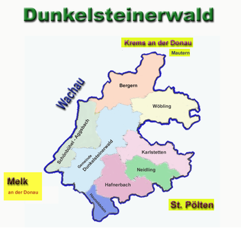
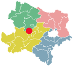
The Dunkelsteinerwald is a hill country south of the Danube in the Mostviertel region of Lower Austria. It is located at the shore of the Danube between Melk and Mautern, south of Krems.
The principal towns of the region are Bergern im Dunkelsteinerwald, Langegg with a pilgrimage church, Wöbling, Karlstetten, Neidling, Hafnerbach, Gansbach, Gerolding, Mauer bei Melk, Dunkelsteinerwald, Haunoldstein and Schönbühel-Aggsbach.
Geologically, the Dunkelsteinerwald hills are foothills of the Waldviertel, an upland in the northwest of Lower Austria north of the Danube river and thus belonging to the Bohemian Mass. The landscape reaches elevations up to 700m above sea level and is shaped by forestry and agriculture. Dunkelsteinerwald's climate is rougher clear than that of adjacent Wachau. Trade and industry are present only to a small extent. Thus, many inhabitants commute to the district capitals of Krems, St. Pölten and Melk.
-
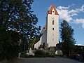
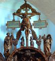
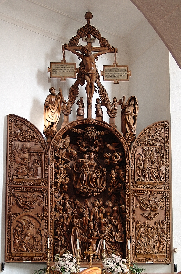
Church Mauer bei Melk
-
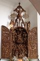
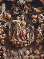
Carving altar
-
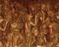
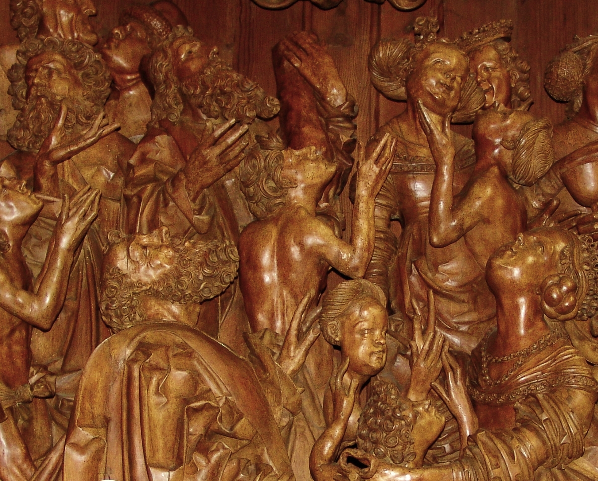
part of Carving altar
-
-
-
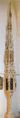
Sakramenthäuschen
-

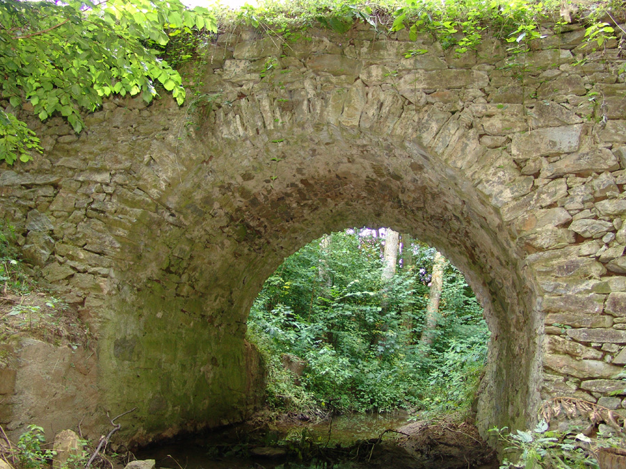
Roman bridge near Lanzing
-
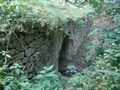
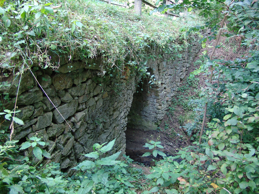
Roman bridge
-

Roman bridge
External links
Categories:


Wikimedia Foundation. 2010.