- Natchaung
-
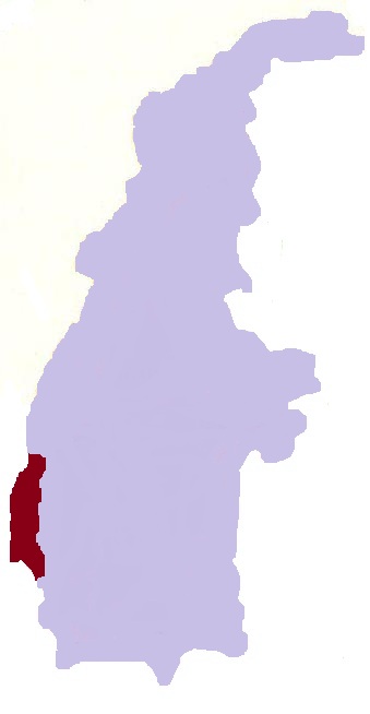
Natchaung — Village — Location in Burma
 Natchaung
Coordinates: 23°0′N 94°2′E / 23°N 94.033°ECoordinates: 23°0′N 94°2′E / 23°N 94.033°E Country  Burma
BurmaRegion Sagaing Region District Kale District Township Kale Township Time zone MST (UTC+6.30) Natchaung is a village in Kale Township, Kale District, in the Sagaing Region of western Burma.[1][2]
Waebula Road was the main route linking Natchaung Village and other parts of Kale Township. It was 40 miles long and there were 11 under-50-foot bridges and 1 under-100-foot bridge on the road. The number of cars commuting in that road in the rainy season was about 10 jeeps in a week and three to four jeeps per day in the dry season. [3]
References
- ^ Google. Google Maps (Map).
- ^ Microsoft and Harris Corporation Earthstar Geographics LLC. Bing Maps (Map).
- ^ http://www.mrtv3.net.mm/newpaper/2110newsn.pdf Page 10 Col 1
External links
Capital: KalaymyoBogon • Bogyi • Chaunggyauk • Chaunggyin • Haka • Hnawgon • Honnaing • Hpaungzeik • Htoma Myauk • Inbaung • Indainggale • Indainggyi • Indin • Ingyaw • Ingyun • Insein • Inthe • Kalaymyo • Kanbale • Kangyi • Kantha • Kinmungyon • Kokko • Kondo • Kyaukka • Kyaukpyok • Kyawywa • Kyetpanet • Kyigon • Lamaing • Legyi • Manda • Mawlaik • Myogyigon • Myohla • Nanhannwe • Nankyisaung • Nansaungpu • Nanzalu • Natchaung • Nat-in • Natkyigon • Natmyaung • Natnan • Ngapa • Nwa • Okkan • Palata Sakan • Pinlon • Sanmyo • Segyi • Shabo • Sibin • Sihaung Ashe • Sihaung Myauk • Sihaung Taung • Sinywa • Siyin • Taukkyan • Taung-u • Thayagon • Thayettaw • Thazi • Thekondan • Udu • Uyin • Yazagyo • Yenatha • Yeshin • Zingalaing


This Kale District location article is a stub. You can help Wikipedia by expanding it.