- Myjava River
Geobox | River
name = Myjava
other_name =
category =
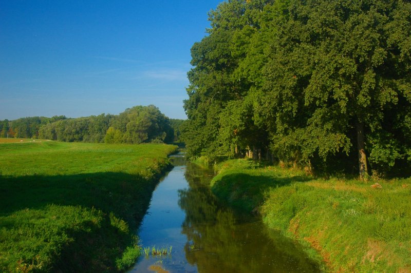
image_caption = Myjava in theZáhorie Protected Landscape Area
etymology =
nickname =
country = Czech Republic
country_
country1 = Slovakia
country1_
state =
region =
district =
commune =
municipality =
parent =
tributary_left =
tributary_right =
city =
landmark =
source =
source_location = nearNová Lhota
source_region = White Carpathians
source_elevation = 660
source_lat_d =
source_long_d =
mouth =Morava River
mouth_location =Kúty
mouth_elevation = 152
mouth_lat_d =
mouth_long_d =
length = 79
width =
depth =
watershed = 806
discharge = 2.64
discharge_location =Štefanov
discharge_max = 109
discharge_min = 0.2
free =
map_background =
map_caption =
map_locator =
commons = Myjava River
statistics =
website =
footnotes =The Myjava River is a river in western
Slovakia and for a small part in theCzech Republic and left tributary of theMorava River .It rises in the
White Carpathians near the village ofNová Lhota in Moravia, but crosses Czech-Slovak border shortly afterwards and flows in southern direction until the town ofMyjava , where it enters theMyjava Hills and turns west. NearSobotište it flows into theZáhorie Lowland and turns south until the village ofJablonica , turning north-west and fromSenica it flows west, passing throughŠaštín-Stráže and finally pouring into the Morava river nearKúty .

Wikimedia Foundation. 2010.