- Cotesfield, Nebraska
-
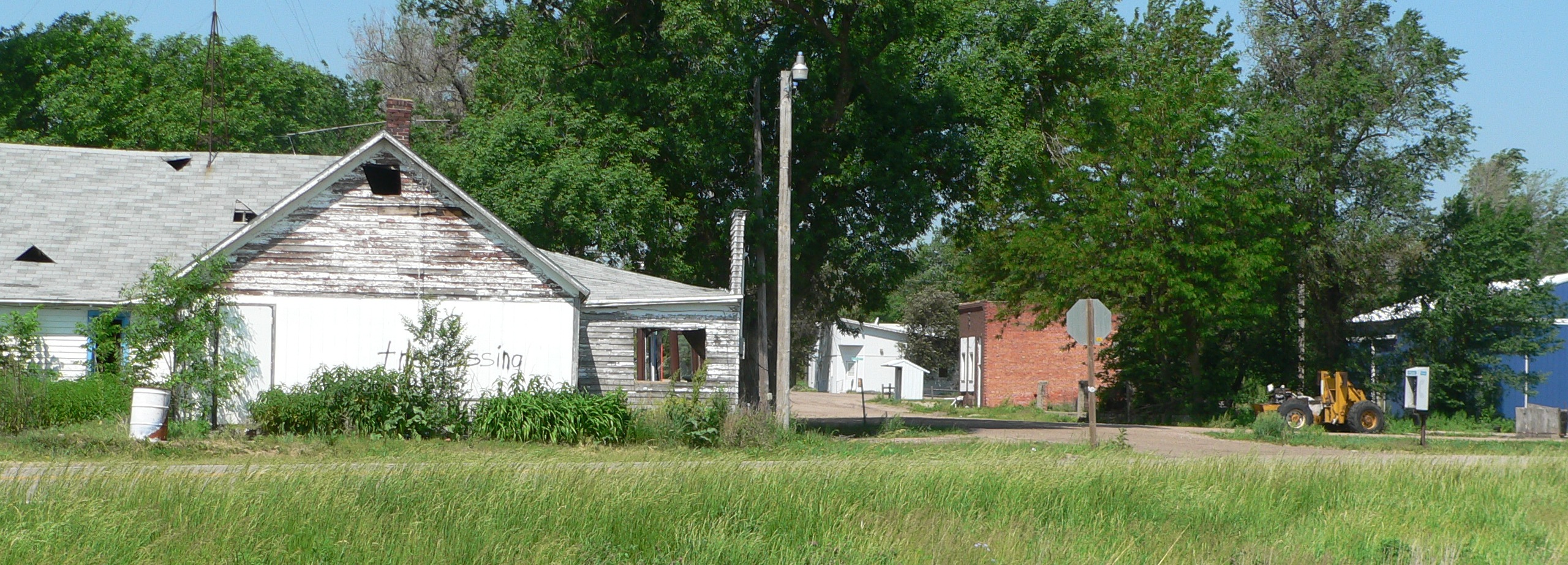
Cotesfield, Nebraska — Village — Cotesfield, seen from east of Nebraska Highway 11 Location of Cotesfield, Nebraska
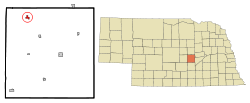
Coordinates: 41°21′28″N 98°38′0″W / 41.35778°N 98.633333°WCoordinates: 41°21′28″N 98°38′0″W / 41.35778°N 98.633333°W Country United States State Nebraska County Howard Area – Total 0.5 sq mi (1.4 km2) – Land 0.5 sq mi (1.4 km2) – Water 0.0 sq mi (0.0 km2) Elevation 1,896 ft (578 m) Population (2000) – Total 66 – Density 124.7/sq mi (48.1/km2) Time zone Central (CST) (UTC-6) – Summer (DST) CDT (UTC-5) ZIP code 68835 Area code(s) 308 FIPS code 31-10740[1] GNIS feature ID 0828358[2] Cotesfield is a village in Howard County, Nebraska, United States. The population was 66 at the 2000 census. It is part of the Grand Island, Nebraska Micropolitan Statistical Area.
Geography
Cotesfield is located at 41°21′28″N 98°38′0″W / 41.35778°N 98.633333°W (41.357704, -98.633377)[3].
According to the United States Census Bureau, the village has a total area of 0.5 square miles (1.3 km2), all of it land.
Demographics
As of the census[1] of 2000, there were 66 people, 26 households, and 19 families residing in the village. The population density was 124.7 people per square mile (48.1/km²). There were 30 housing units at an average density of 56.7 per square mile (21.9/km²). The racial makeup of the village was 98.48% White, and 1.52% from two or more races.
There were 26 households out of which 26.9% had children under the age of 18 living with them, 57.7% were married couples living together, 7.7% had a female householder with no husband present, and 23.1% were non-families. 23.1% of all households were made up of individuals and 11.5% had someone living alone who was 65 years of age or older. The average household size was 2.54 and the average family size was 2.80.
In the village the population was spread out with 24.2% under the age of 18, 7.6% from 18 to 24, 21.2% from 25 to 44, 28.8% from 45 to 64, and 18.2% who were 65 years of age or older. The median age was 42 years. For every 100 females there were 120.0 males. For every 100 females age 18 and over, there were 100.0 males.
The median income for a household in the village was $14,583, and the median income for a family was $19,375. Males had a median income of $23,125 versus $26,875 for females. The per capita income for the village was $10,727. There were 30.4% of families and 34.8% of the population living below the poverty line, including 100.0% of under eighteens and 27.3% of those over 64.
References
- ^ a b "American FactFinder". United States Census Bureau. http://factfinder.census.gov. Retrieved 2008-01-31.
- ^ "US Board on Geographic Names". United States Geological Survey. 2007-10-25. http://geonames.usgs.gov. Retrieved 2008-01-31.
- ^ "US Gazetteer files: 2010, 2000, and 1990". United States Census Bureau. 2011-02-12. http://www.census.gov/geo/www/gazetteer/gazette.html. Retrieved 2011-04-23.
Municipalities and communities of Howard County, Nebraska City 
Villages Cotesfield | Cushing | Dannebrog | Elba | Farwell | Howard City
Unincorporated
communityCategories:- Populated places in Howard County, Nebraska
- Villages in Nebraska
- Grand Island micropolitan area

Wikimedia Foundation. 2010.