Tanvald

Tanvald

Geobox | Settlement
name = Tanvald
other_name =
category = Town


image_caption =

| flag_border = 1
symbol = Tanvald CoA CZ.svg
etymology =
official_name =
motto =
nickname =
country = Czech Republic
country_

state =
region = Liberec
region_type = Region
district = Jablonec nad Nisou
district_type = District
commune = Tanvald
municipality =
part =
river =
location =
elevation = 455
lat_d = 50
lat_m = 44
lat_s = 15
lat_NS = N
long_d = 15
long_m = 18
long_s = 21
long_EW = E
highest =
highest_elevation =
highest_lat_d =
highest_long_d =
lowest =
lowest_elevation =
lowest_lat_d =
lowest_long_d =
area = 12.44
area_round = 2
population = 6836
population_date = 2006-08-28
population_density = auto
established = 1611
established_type = First mentioned
mayor = Petr Polák
timezone =

map_background = Czechia - background map.png map_caption = Location in the Czech Republic
map_locator = Czechia
commons = Tanvald
statistics = [http://www.statnisprava.cz/ebe/ciselniky.nsf/i/563820 statnisprava.cz]
website = [http://www.tanvald.cz/ www.tanvald.cz]
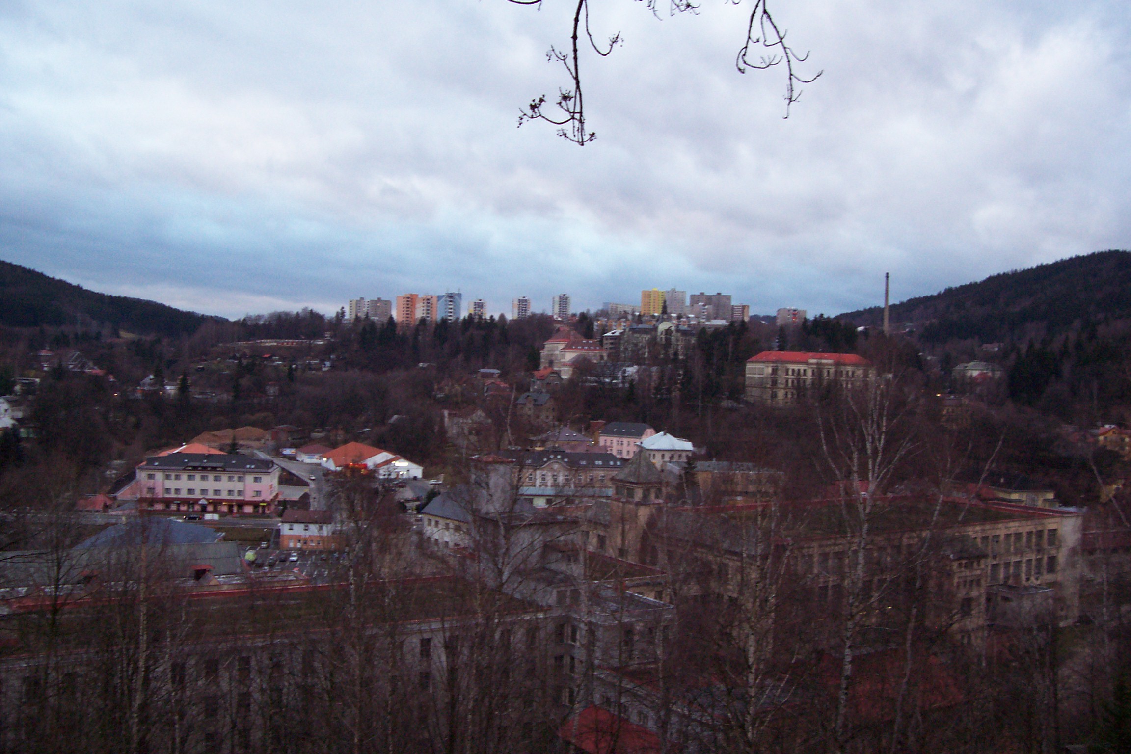
footnotes =

Tanvald (IPA2|ˈtanvalt; _de. Tannwald) is a town in the northern Czech Republic. Its population was 6,836 as of August 28 2006.

The town has direct rail connection with Prague and Dresden. Traffic on the railway line to Jelenia Góra in Poland was restricted in 1945; the trains terminate in Harrachov (see Cog railway Tanvald-Harrachov). The originally Sudeten German population was expelled in 1945.

External links

* [http://www.tanvald.cz/pg.php?lang=3 Municipal website]


Wikimedia Foundation. 2010.

Игры ⚽ Поможем решить контрольную работу

Look at other dictionaries:

  • Tanvald — Tanvald …   Deutsch Wikipedia

  • Tanvald — Vista general de Tanvald Tanvald (en alemán, Tannwald, traducible como bosque de abetos ) es una pequeña ciudad de la República Checa, situada en la zona de los Sudetes, al norte de Bohemia, perteneciente administrativamente a la Región de… …   Wikipedia Español

  • Tanvald — Original name in latin Tanvald Name in other language Tannwald State code CZ Continent/City Europe/Prague longitude 50.73735 latitude 15.30585 altitude 479 Population 6921 Date 2013 01 11 …   Cities with a population over 1000 database

  • Tanvald — Sp Tánvaldas Ap Tanvald L Čekija …   Pasaulio vietovardžiai. Internetinė duomenų bazė

  • Bahnstrecke Liberec–Tanvald — Liberec–Jablonec nad Nisou–Tanvald Kursbuchstrecke (ČD): 036 Streckenlänge: 27,39 km Spurweite: 1435 mm (Normalspur) Maximale Neigung: 40 ‰ Höchstgeschwindigkeit: 50 km/h Legende …   Deutsch Wikipedia

  • Bahnstrecke Železný Brod–Tanvald — Železný Brod–Tanvald Kursbuchstrecke (SŽDC): 035 Streckenlänge: 17,219 km Spurweite: 1435 mm (Normalspur) Höchstgeschwindigkeit: 60 km/h Legende …   Deutsch Wikipedia

  • Cog railway Tanvald–Harrachov — Cog railway Tanvald Harrachov Legend …   Wikipedia

  • Chata Tanvald — (Tanvald,Чехия) Категория отеля: Адрес: Hartigova Stezka 502, Tanvald, 46841, Чехия …   Каталог отелей

  • Holiday home Pod Spicakem Tanvald — (Tanvald,Чехия) Категория отеля: Адрес: Tanvald, 468 41, Чехия Описание: Holiday home …   Каталог отелей

  • Cog railway Tanvald-Harrachov — is a standard gauge cog railway in Europe. It connects the municipalities Tanvald, Kořenov and Harrachov in the Czech Republic. The railway was built in 1902 with the intention to connect the lines Liberec Jablonec Tanvald and Jelenia Góra… …   Wikipedia

Share the article and excerpts

Direct link
Do a right-click on the link above
and select “Copy Link”