- Maryville, Missouri
-
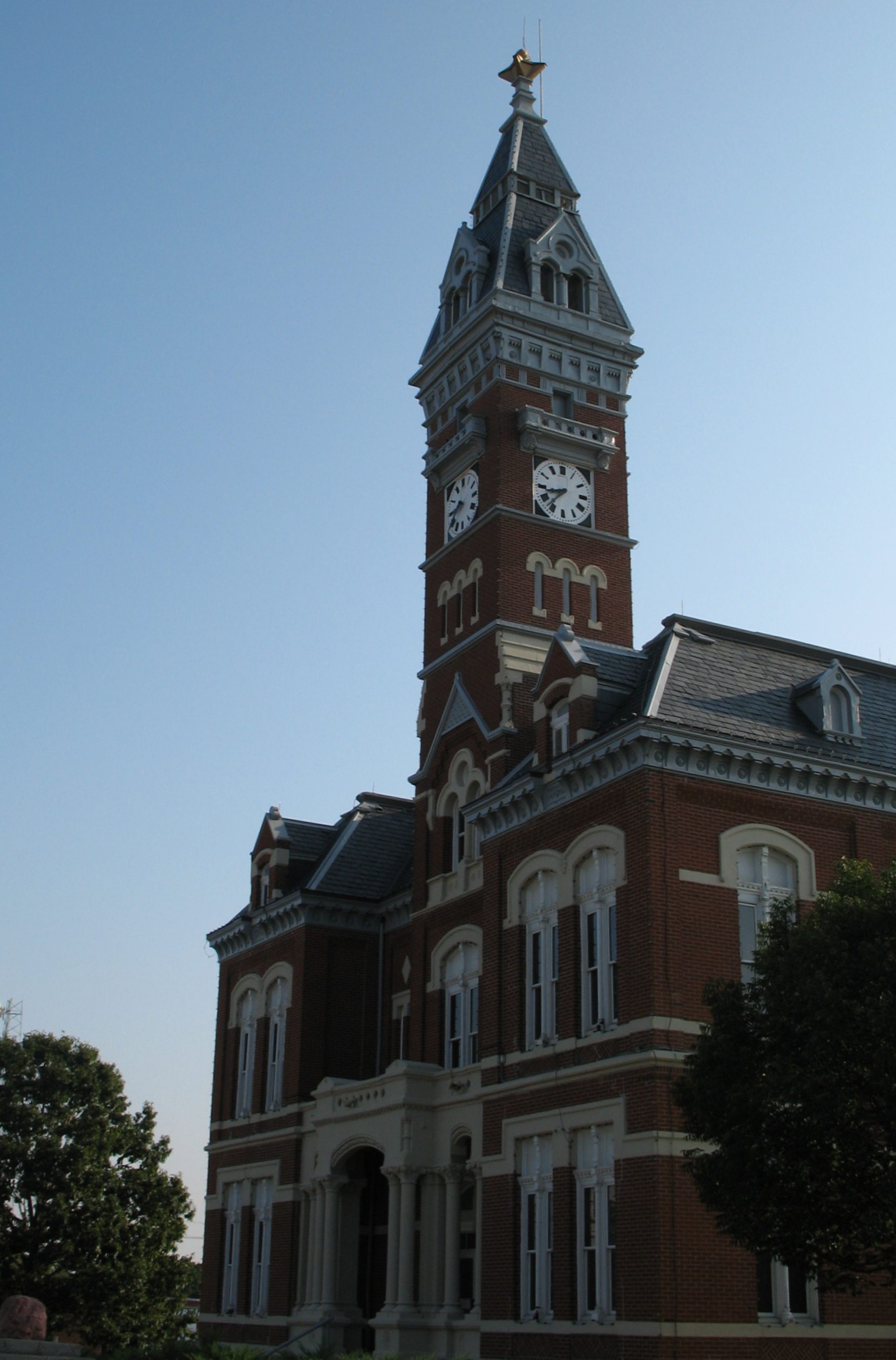
City of Maryville, Missouri — City — Nodaway County Courthouse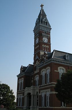
Nickname(s): The 'Ville Location in the state of Missouri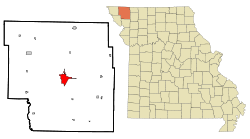 U.S. Census Map
Coordinates: 40°20′43″N 94°52′16″W / 40.34528°N 94.87111°WCoordinates: 40°20′43″N 94°52′16″W / 40.34528°N 94.87111°W Country United States State Missouri County Nodaway Government - Mayor Chad Jackson Area - Total 5.1 sq mi (13.2 km2) - Land 5.0 sq mi (13.0 km2) - Water 0.1 sq mi (0.2 km2) Elevation 1,152 ft (351 m) Population (2004) - Total 10,581 (city proper) - Density 2,074/sq mi (802/km2) 29014 (micropolitan area) Time zone CST (UTC-6) - Summer (DST) CDT (UTC-5) ZIP code 64468 Area code(s) 660 FIPS code 29-46640[1] GNIS feature ID 0721948[2] Website http://www.maryvillemo.org 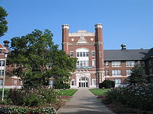 Administration Building at Northwest Missouri State University
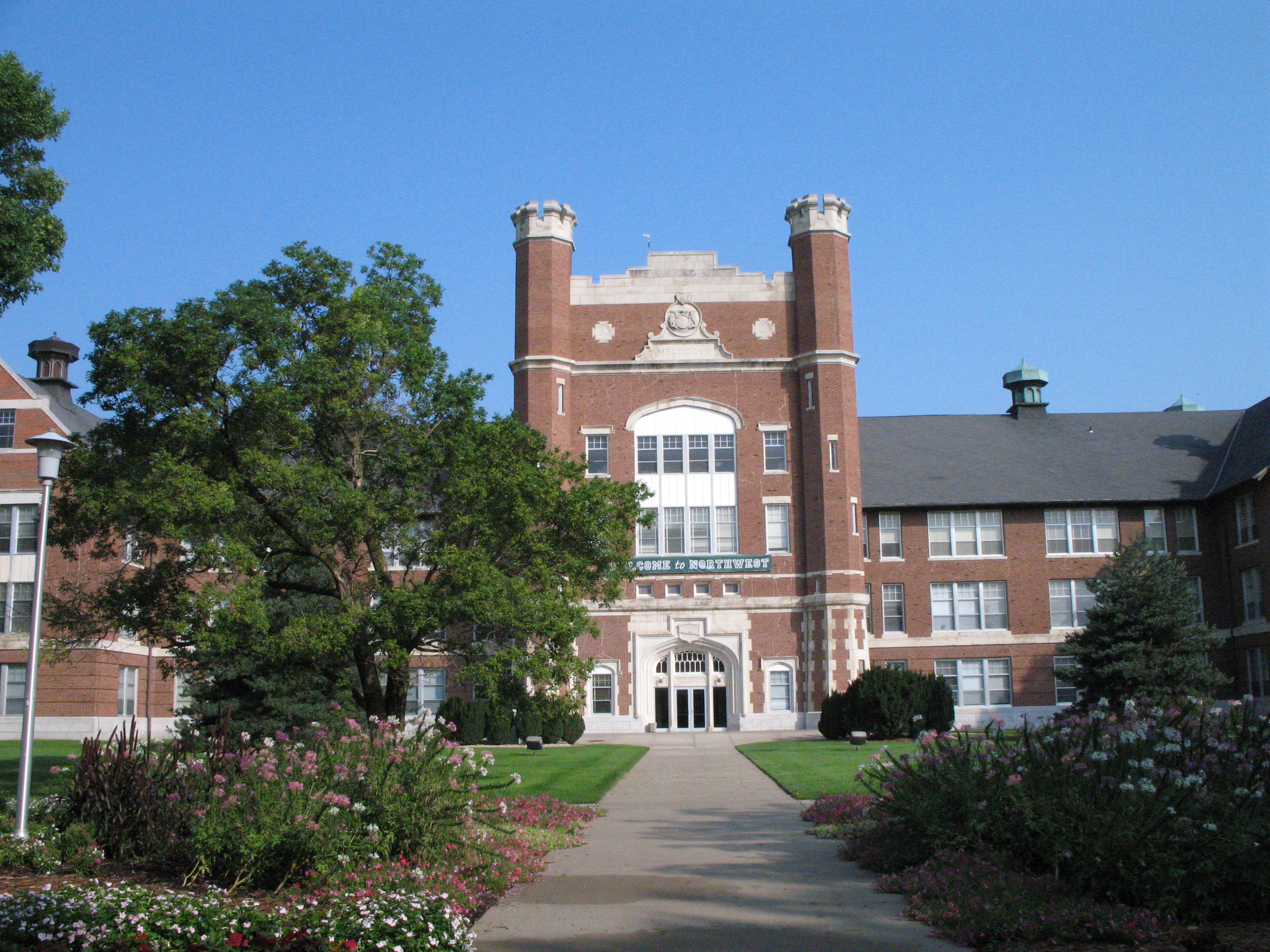
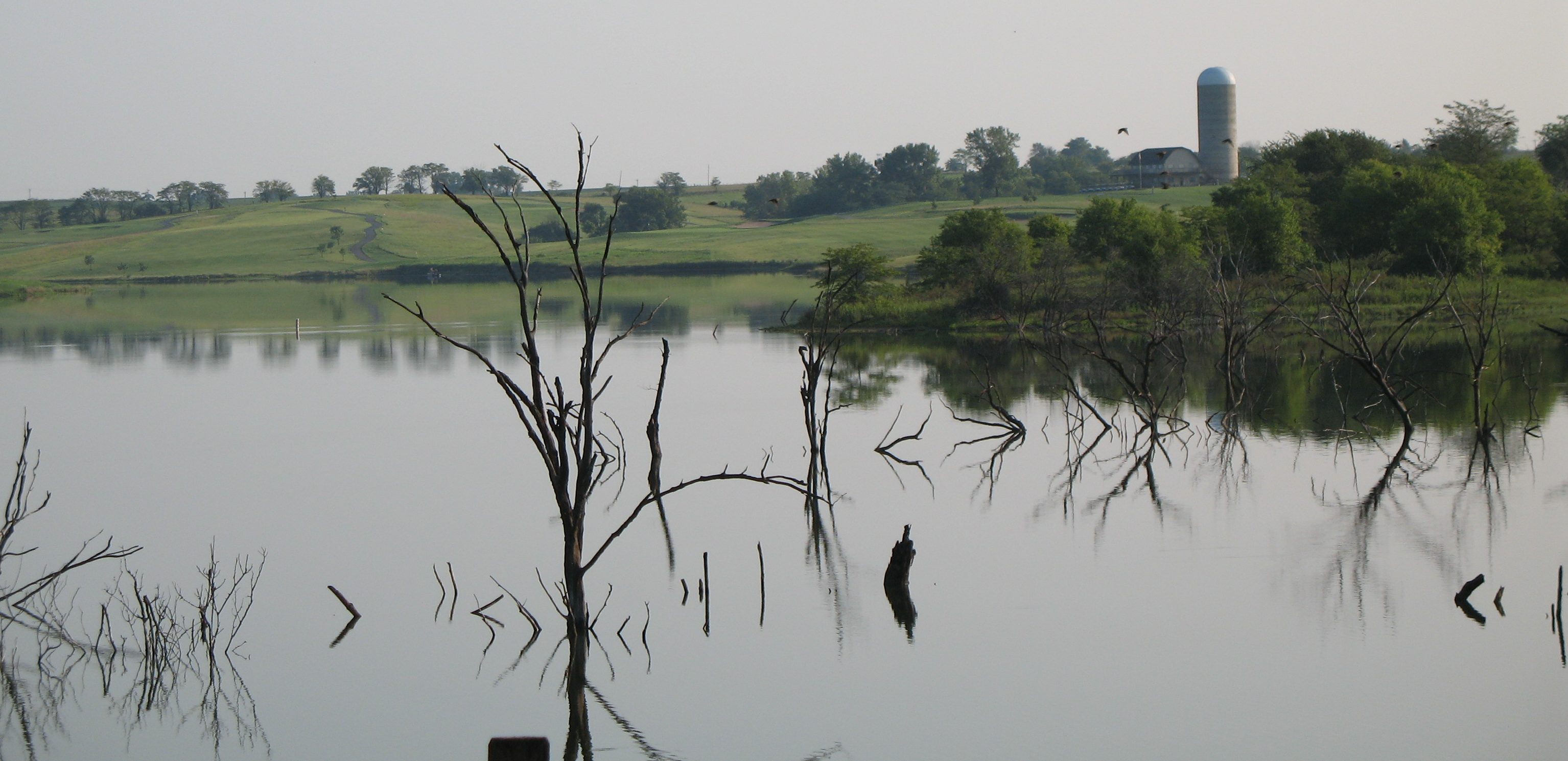
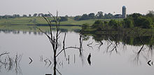 Mozingo Lake Golf Course
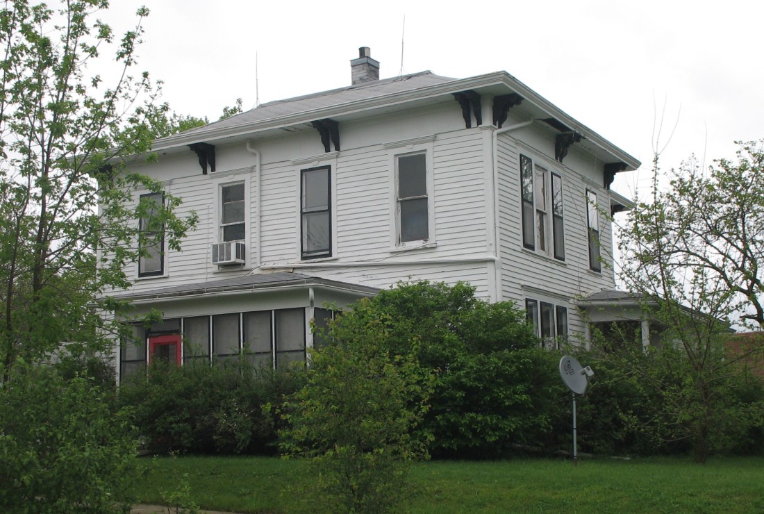
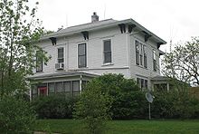 Mansion on South Vine Street where both of Maryville, Missouri governors (Albert P. Morehouse and Forrest C. Donnell) coincidentally lived.
Maryville is a city in Nodaway County, Missouri, United States. The population was 10,581 at the 2000 census. The town, organized on February 14, 1845, was named for Mrs. Mary Graham, wife of Amos Graham, then the county clerk. Mary was the first Caucasian woman to have lived within the boundaries of the site which would become Maryville.[3]
It is the county seat of Nodaway County[4]. The Maryville micropolitan statistical area consists of Nodaway County. Maryville is home to Northwest Missouri State University, Northwest Technical School, and the Missouri Academy of Science, Mathematics and Computing. Maryville High School is also known for their unique mascot: The Spoofhound.
Contents
Education
The Maryville R-II School District contains 3 separate buildings:
- Maryville High School (Grades 9-12)
- Maryville Middle School (Grades 5-8)
- Eugene Field Elementary School (Grades Pre-K-4)
Maryville is also served by
- St. Gregory's Barbarigo School (Grades K-8)
- Horace Mann Laboratory School (Grades Pre-K-6)
- The Missouri Academy of Science, Mathematics and Computing (Grades 11-12)
Maryville is also home to Northwest Missouri State University.
Health System
Maryville is home of St. Francis Hospital and Health Services. http://www.stfrancismaryville.com/AboutUs/Pages/History.aspx
Notable natives and residents
- Sarah Caldwell - Boston opera diva
- Dale Carnegie - Author of "How to Win Friends and Influence People"
- Homer Croy - Author and screenwriter who wrote about life in Maryville
- Albert David - Medal of Honor recipient for capture of U-505 during World War II
- Forrest C. Donnell - Missouri Governor
- Raymond Gunn - a black man burned to death by a mob of townsfolk in 1931
- Darius Kinsey - Photographer of logging industry
- Truman H. Landon - Air Force General
- Edward H. Moore - U.S. Senator in Oklahoma
- Albert P. Morehouse - Missouri Governor
- Horace A. "Jimmy" Jones - Horse Trainer
- Lynne Overman - Actor sidekick from the 1930s and 1940s
- Jim Spainhower - State Treasurer
- George S.E. Vaughn - Accused Confederate spy who who claimed to have been pardoned by Abraham Lincoln an hour before the President's assassination
- Elwood (horse) - Kentucky Derby winner born at Faustiana Farms
Transportation
There are two U.S. Highways in Maryville. U.S. Route 71 and U.S. Route 136 intersect on the eastern side of the city. A branch of US 71, U.S. Route 71 Business, serves as the main street for the city. Route 46, Route 148, and Route V also provide access outside of the city.
Maryville is served by the Northwest Missouri Regional Airport, which is a general aviation airport with no commercial service.
Radio stations
Four licensed broadcast stations in the town are:
- KNIM - 1580 AM - Oldies and Regional News
- KZLX-LP - 106.7 FM - NWMSU Student Radio Station
- KVVL - 97.1 FM - Oldies, Classic rock, and Regional Sports
- KNIM 95.9 Pickup Country
- KXCV - 90.5 FM - NWMSU University Radio Station: Classical/Jazz, National Public Radio, and Bearcat Radio Network (NWMSU Sports) Flagship Station
Geography
Maryville is located at 40°20′43″N 94°52′16″W / 40.34528°N 94.87111°W (40.345353, -94.871199)[5].
According to the United States Census Bureau, the city has a total area of 5.1 square miles (13.2 km²), of which, 5.0 square miles (13.0 km²) of it is land and 0.1 square miles (0.1 km²) of it (0.98%) is water.
The One Hundred and Two River, located on the eastern side of the city, is the primary source of power and water for the city.
Government
The city of Maryville is governed by a city council consisting of five members who are elected at-large and serve terms of three years. There is no limit to the amount of terms that one can serve on the council. Each year, one of the council members is selected to serve as the mayor of the city and another as the mayor pro tem. Currently, the mayor of Maryville is Chad Jackson.
Recreation
The city of Maryville has ten city parks, which includes six baseball fields, several soccer and American football fields, a skate park, and a nature park. The city also maintains the Mozingo Lake Park and Golf Course. The golf course consists of 18 holes and is situated about the lake. According to the city website, Golf Digest and USA Today call it the "best course to play in the state of Missouri for under $50."[1]
Demographics
As of the census[1] of 2000, there were 10,581 people, 3,913 households, and 1,835 families residing in the city. The population density was 2,102.8 people per square mile (812.2/km²). There were 4,227 housing units at an average density of 840.0 per square mile (324.5/km²). The racial makeup of the city was 95.78% White, 1.48% African American, 0.18% Native American, 1.46% Asian, 0.02% Pacific Islander, 0.31% from other races, and 0.77% from two or more races. Hispanic or Latino of any race were 0.98% of the population.
There were 3,913 households out of which 20.8% had children under the age of 18 living with them, 37.4% were married couples living together, 7.2% had a female householder with no husband present, and 53.1% were non-families. 35.3% of all households were made up of individuals and 11.2% had someone living alone who was 65 years of age or older. The average household size was 2.16 and the average family size was 2.83.
In the city the population was spread out with 14.0% under the age of 18, 41.4% from 18 to 24, 17.3% from 25 to 44, 14.8% from 45 to 64, and 12.5% who were 65 years of age or older. The mean age was 23 years. For every 100 females there were 87.1 males. For every 100 females age 18 and over, there were 83.6 males.
The mean income for a household in the city was $29,043, and the mean income for a family was $43,906. Males had a mean income of $30,444 versus $22,444 for females. The per capita income for the city was $15,483. About 10.3% of families and 23.6% of the population were below the poverty line, including 12.3% of those under age 18 and 14.2% of those age 65 or over.
 Maryville from US 136
Points of interest
- Missouri Academy of Science, Mathematics and Computing
- Missouri State Arboretum
- Mozingo Lake Park and Golf Course
- Nodaway County Historical Society Museum
- Northwest Missouri State University
- Maryville Treatment Center
References
- ^ a b "American FactFinder". United States Census Bureau. http://factfinder.census.gov. Retrieved 2008-01-31.
- ^ "US Board on Geographic Names". United States Geological Survey. 2007-10-25. http://geonames.usgs.gov. Retrieved 2008-01-31.
- ^ A Biographical History of Nodaway and Atchison Counties Missouri, Compendium on National Biography, The Lewis Publishing Company, 1901. Retrieved 2009-09-06.
- ^ "Find a County". National Association of Counties. http://www.naco.org/Counties/Pages/FindACounty.aspx. Retrieved 2011-06-07.
- ^ "US Gazetteer files: 2010, 2000, and 1990". United States Census Bureau. 2011-02-12. http://www.census.gov/geo/www/gazetteer/gazette.html. Retrieved 2011-04-23.
External links
- "The City of Maryville" Homepage
- Maryville Modern Matrix (article in April-May 2000 issue of Missouri Life)
- "Nodaway County Historical Society Museum"
- "Northwest Missouri State University"
- "Ancestorology"
- Historic maps of Maryville in the Sanborn Maps of Missouri Collection at the University of Missouri
Municipalities and communities of Nodaway County, Missouri County seat: Maryville Cities 
Villages Unincorporated
communityCounty seats in Missouri Albany • Alton • Ava • Benton • Bethany • Bloomfield • Bolivar • Boonville • Bowling Green • Buffalo • Butler • California • Camdenton • Carrollton • Carthage • Caruthersville • Cassville • Centerville • Charleston • Chillicothe • Clayton • Clinton • Columbia • Doniphan • Edina • Eminence • Farmington • Fayette • Forsyth • Fredericktown • Fulton • Gainesville • Galena • Gallatin • Grant City • Greenfield • Greenville • Harrisonville • Hartville • Hermann • Hermitage • Hillsboro • Houston • Huntsville • Independence • Ironton • Jackson • Jefferson City • Kahoka • Kennett • Keytesville • Kingston • Kirksville • Lamar • Lancaster • Lebanon • Lexington • Liberty • Linn • Linneus • Macon • Marble Hill • Marshall • Marshfield • Maryville • Maysville • Memphis • Mexico • Milan • Montgomery City • Monticello • Mount Vernon • Neosho • Nevada • New London • New Madrid • Oregon • Osceola • Ozark • Palmyra • Paris • Perryville • Pineville • Platte City • Plattsburg • Poplar Bluff • Potosi • Princeton • Richmond • Rock Port • Rolla • Saint Charles • Saint Joseph • Salem • Savannah • Sedalia • Shelbyville • Springfield • Ste. Genevieve • Steelville • Stockton • Trenton • Troy • Tuscumbia • Union • Unionville • Van Buren • Versailles • Vienna • Warrensburg • Warrenton • Warsaw • Waynesville • West PlainsCategories:- Cities in Nodaway County, Missouri
- County seats in Missouri


Wikimedia Foundation. 2010.