- Zoeterwoude
Infobox Settlement
official_name = Zoeterwoude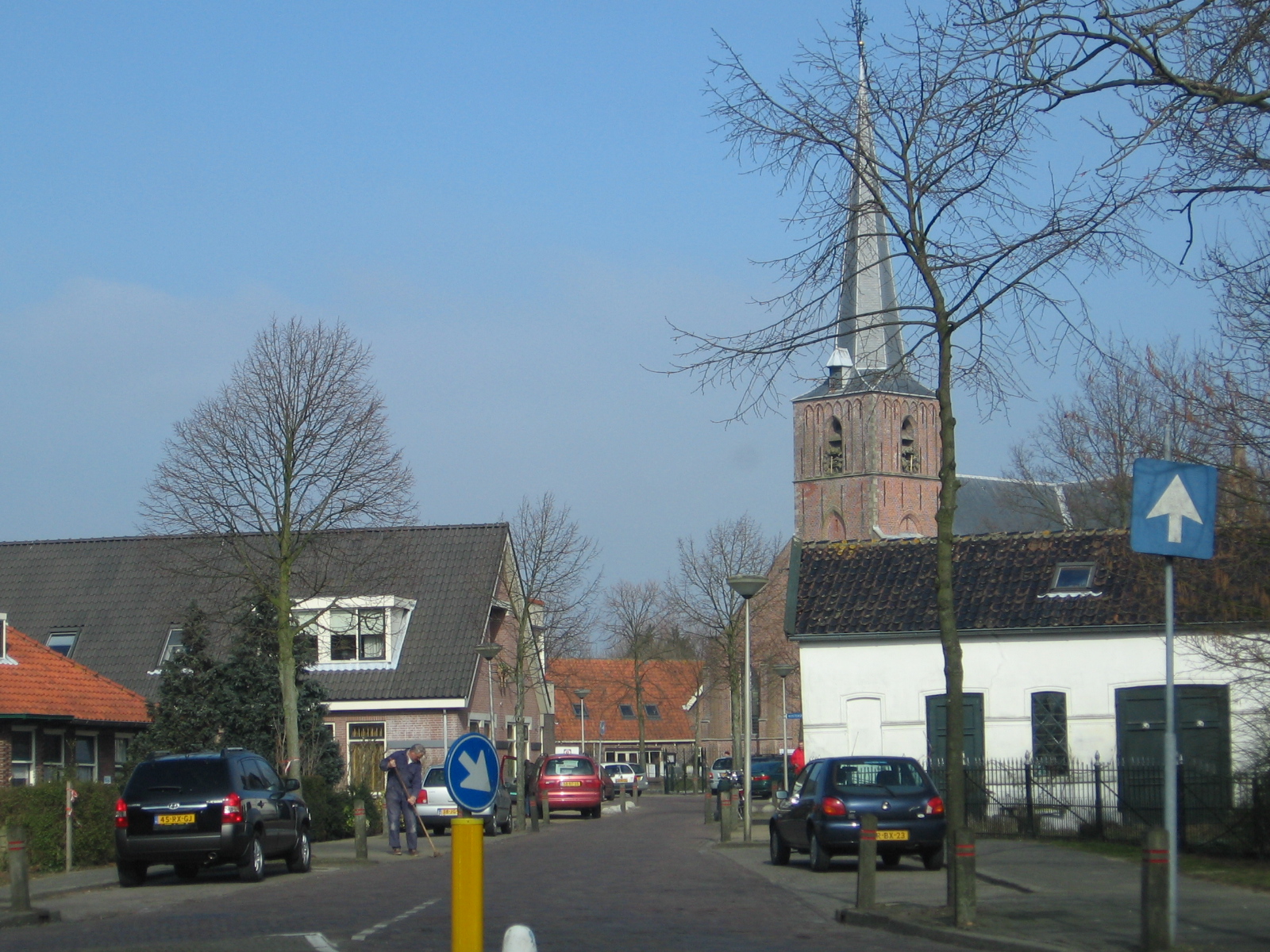
imagesize = 225px
image_caption =
flag_size = 120x100px
image_shield = Zoeterwoude_coa.gif
shield_size = 120x100px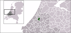
mapsize = 280px
subdivision_type = Country
subdivision_name =Netherlands
subdivision_type1 = Province
subdivision_name1 =South Holland
area_footnotes = (2006)
area_total_km2 = 21.91
area_land_km2 = 21.24
area_water_km2 = 0.67
population_as_of =1 January ,2007
population_note = Source: CBS, [http://statline.cbs.nl/ Statline] .
settlement_type = Municipality
population_total = 8399
population_density_km2 = 395
timezone = CET
utc_offset = +1
timezone_DST = CEST
utc_offset_DST = +2
latd = 52.12
latNS = N
longd = 4.50
longEW = E
website = [http://www.zoeterwoude.nl www.zoeterwoude.nl]Zoeterwoude (pronunciation|Nl-Zoeterwoude.ogg) is a municipality in the western
Netherlands , in the province ofSouth Holland . The municipality covers 21.91 km² (of which 0.67 km² is water). It had a population of 8,526 in 2004.The municipality of Zoeterwoude consists of
Zoeterwoude-Dorp ,Zoeterwoude-Rijndijk ,Gelderswoude ,Weipoort , Westeinde, andZuidbuurt . The mainbrewery ofHeineken International is located there.History
The name Zoeterwoude is first mentioned in a document from 1205, which references a certain "Florentius van Sotrewold". It is uncertain if this is a reference to the village. The first confirmed existence is from 1276 when Dirk van Santhorst received the "Soetrewold" fiefdom from
Floris V, Count of Holland .Its municipal boundaries were set circa 1300. At that time it was one of the largest municipalities in the Netherlands, but later much land was annexed by surrounding cities, notably
Leiden . In 1450, the first bridge betweenLeiderdorp and Zoeterwoude was built. In 1574, Zoeterwoude was burnt to the ground and itspolder s inundated by Leideners in order to increase the range of the city's cannons. Almost no inhabitants remained in Zoeterwoude.Around 1650, Zoeterwoude had been almost rebuilt and 50 years later it was prospering. After 1800, Leiden started a long series of annexations, reducing the land area of Zoeterwoude.
In 1960, the A4 motorway was built and since 1966 it has been the municipal boundary between Leiden and Zoeterwoude.
Notable people born in Zoeterwoude
*
Harm Kamerlingh Onnes (1893-1985), artist
*Paul van Kempen (1893-1955), violinist and conductor
*Bram van Velde (1895-1981), fine-art painter
*Jeroen Straathof (born 1972), cyclist and speed skater
*Suzanne de Goede (born 1984), cyclistExternal links
* [http://www.zoeterwoude.nl Official Website]
* [http://www.plattegronden.nl/zoeterwoude/ Street map of Zoeterwoude]

Wikimedia Foundation. 2010.