- Ohio State Route 118
-
State Route 118
Route information Maintained by ODOT Length: 55.3 mi[1] (89.00 km) Major junctions North end:  US 127 in Van Wert
 US 33 in Rockford
South end: 


 SR 49, SR 121, SR 502, SR 571 in Greenville
Location Counties: Van Wert, Mercer, Darke Highway system Ohio highways
Interstates • U.S. Routes • State Routes←  SR 117
SR 119  →
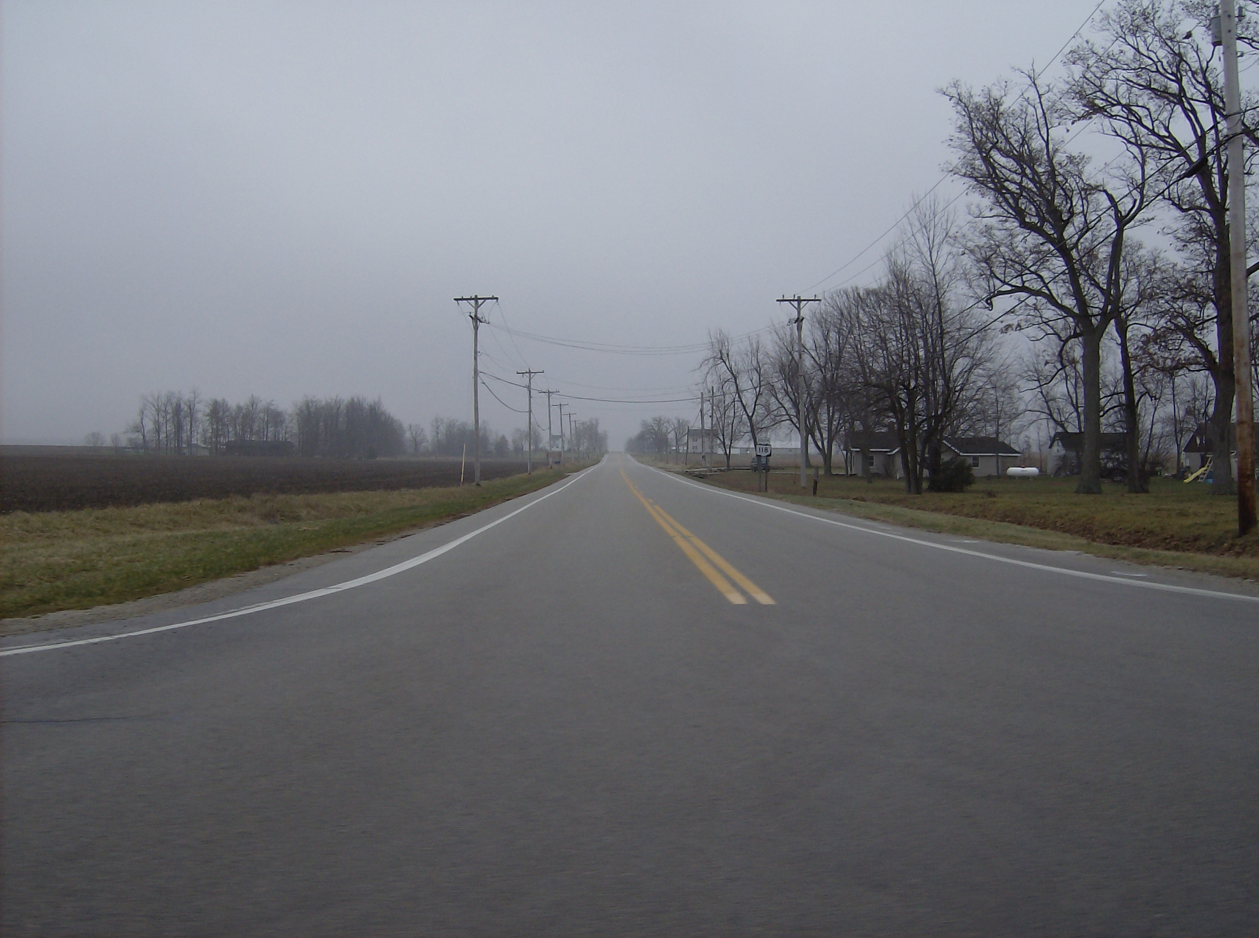
→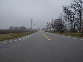 Along State Route 118 at its intersection with State Route 705 in northern Darke County
Ohio State Route 118 is a state route in western Ohio. It is an indirect connection to the cities of Van Wert and Greenville. State Route 118 travels through some of the flattest land in the state. There are a few cities of considerable size along the route, including Van Wert, Coldwater, and Greenville. There are also smaller farming communities like Ohio City, St. Henry, and Ansonia. Tony Stewart's Eldora Speedway is also along Route 118, about 3 miles (4.8 km) north of Rossburg.
Highway Junctions
 OH 29 concurrent for about 1-mile (1.6 km) near Celina
 OH 319 near Burkettsville
 OH 705 in New Weston OH 49, OH 571 concurrent in Greenville OH 121, OH 502 in Greenville
References
Categories:- State highways in Ohio

Wikimedia Foundation. 2010.