- Willowgrove, Saskatoon
Infobox Settlement
official_name = Willowgrove
other_name =
native_name =
nickname =
settlement_type = Neighborhood
motto =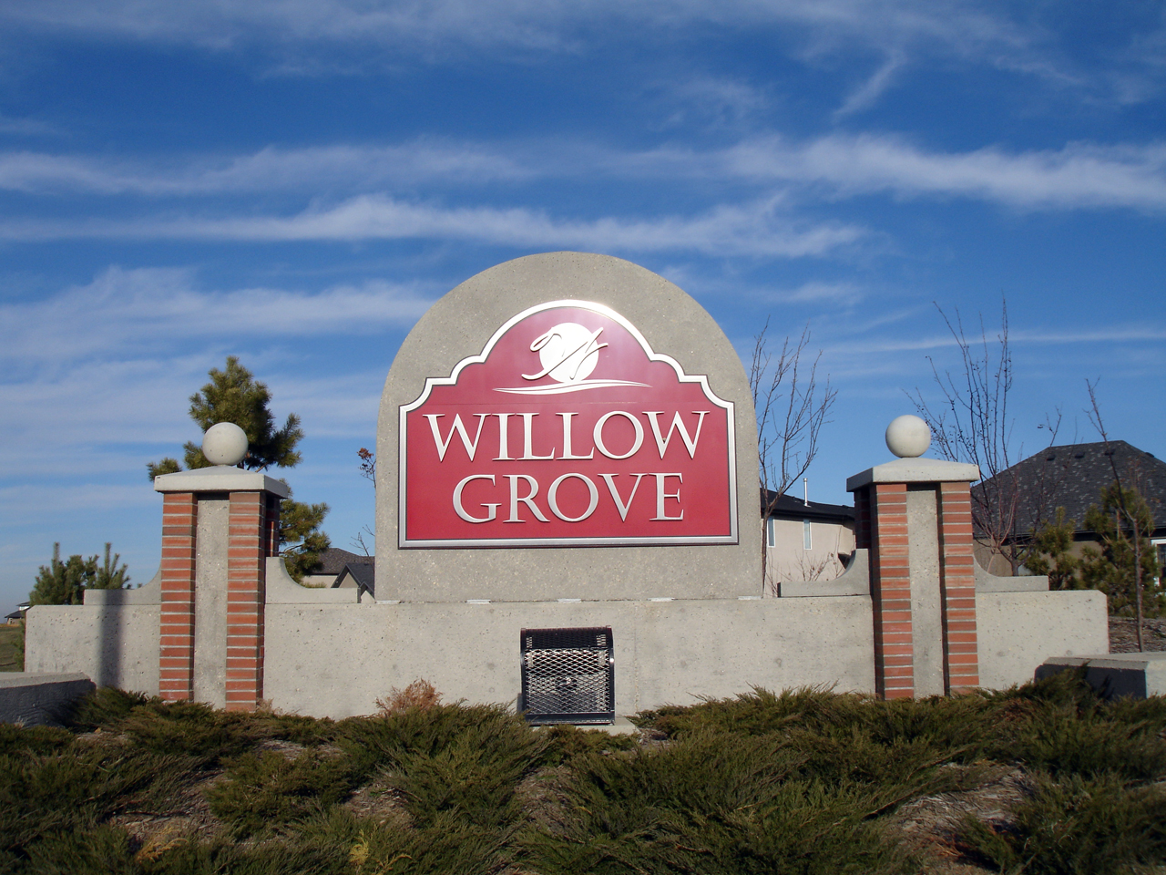
imagesize = 270px
image_caption = Willowgrove entrance sign
flag_size =
image_
seal_size =
image_shield =
shield_size =
city_logo =
citylogo_size =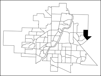
mapsize = 270px
map_caption = Willowgrove location map
mapsize1 =
map_caption1 =
image_dot_
dot_mapsize =
dot_map_caption =
dot_x = |dot_y =
pushpin_
pushpin_label_position =
pushpin_map_caption =
pushpin_mapsize =
subdivision_type = Country
subdivision_name = CAN
subdivision_type1 = Province
subdivision_name1 = SK
subdivision_type2 = City
subdivision_name2 = Saskatoon
subdivision_type3 = Suburban Development Area
subdivision_name3 = University Heights
subdivision_type4 = Neighbourhood
subdivision_name4 = Willowgrove
government_footnotes =
government_type = Municipal (Ward 10)
leader_title = Administrative body
leader_name =Saskatoon City Council
leader_title1 = Councillor
leader_name1 = Bev Dubois
leader_title2 =
leader_name2 =
leader_title3 =
leader_name3 =
leader_title4 =
leader_name4 =
established_title = Annexed
established_date = 1975-1984
established_title2 = Construction
established_date2 = 2004-present
established_title3 =
established_date3 =
area_magnitude =
unit_pref =
area_footnotes =
area_total_km2 = 2.14
area_land_km2 =
area_water_km2 =
area_total_sq_mi =
area_land_sq_mi =
area_water_sq_mi =
area_water_percent =
area_urban_km2 =
area_urban_sq_mi =
area_metro_km2 =
area_metro_sq_mi =
population_as_of = 2006
population_footnotes =
population_note =
population_total = 443
population_density_km2 =
population_density_sq_mi =
population_metro =
population_density_metro_km2 =
population_density_metro_sq_mi =
population_urban =
population_density_urban_km2 =
population_density_urban_sq_mi =
population_blank1_title = Average Income
population_blank1 = $81,774
population_density_blank1_km2 =
population_density_blank1_sq_mi =
timezone = UTC
utc_offset = -6
timezone_DST =
utc_offset_DST =
latd=52 |latm= 8|lats=56 |latNS=N
longd= 106|longm= 33|longs= 19|longEW=W
elevation_footnotes =
elevation_m =
elevation_ft =
postal_code_type =
postal_code =
area_code =
blank_name =
blank_info =
blank1_name =
blank1_info =
website =
footnotes = City of Saskatoon NeighborhoodsWillowgrove is a primarily residential neighbourhood located in northeast
Saskatoon ,Saskatchewan ,Canada . It comprises a mix of single-family detached houses and multiple-unit dwellings. As of 2006, the area is home to 443 residents. The neighbourhood is considered a middle to high-income area, with an average family income of $81,774, an average dwelling value of $218,357 and a home ownership rate of 93.5%.cite web
last =
first =
authorlink =
coauthors =
title = Willowgrove neighbourhood profile - 2006
work =
publisher = City of Saskatoon
date = 2007
url = http://www.saskatoon.ca/org/city_planning/resources/neighbourhood_demographics/willowgrove.pdf
format =
doi =
accessdate = 2007-10-31] cite web
last =
first =
authorlink =
coauthors =
title = Populace Spring 2006
work =
publisher = City of Saskatoon
date = 2006
url = http://www.saskatoon.ca/org/city_planning/resources/populace_newsletter/Populace_Spring_2006.pdf
format =
doi =
accessdate = 2007-10-31]History
The land for Willowgrove was annexed between 1975 and 1984.Populace] Residential construction did not start until 2004. [cite web
last =
first =
authorlink =
coauthors =
title = Future Growth and Development of Saskatoon
work =
publisher = City of Saskatoon
date =
url =http://www.saskatoon.ca/org/city_planning/resources/publications/Future_Growth_and_Development_of_Saskatoon.pdf
format =
doi =
accessdate= 2008-01-05] The housing stock is mostly composed of single-family detached houses, as well as some multiple-unit condominiums.Profile]Willowgrove was planned as a neighbourhood that centered around a village square. It incorporates features from older neighbourhoods (e.g. Nutana) such as narrow, long lots and back lanes. A system of linear parks connects the various parts of the neighbourhood with green spaces, and provides pedestrian linkages. The village square, still under construction at present, will feature limited commercial development as well as higher density residential housing. [cite web
last =
first =
authorlink =
coauthors =
title = Lots for Sale - Willowgrove
work =
publisher = City of Saskatoon
date =
url = http://www.saskatoon.ca/org/land/residential/land_for_sale/willowgrove.asp
format =
doi =
accessdate = 2008-01-05]Government and politics
Willowgrove exists within the federal electoral district of
Saskatoon—Humboldt . It is currently represented byBrad Trost of theConservative Party of Canada , first elected in 2004 and re-elected in 2006.Provincially, the area is within the constituency of
Saskatoon Silver Springs . It is currently represented byKen Cheveldayoff of theSaskatchewan Party , first elected in 2003 and re-elected in 2007.In Saskatoon's non-partisan municipal politics, Willowgrove lies within ward 10. It is currently represented by Bev Dubois, first elected in 2003 and re-elected in 2006.
Institutions
Education
At present, no schools exist in Willowgrove. However, both the public and separate school boards are on record stating that they intend to build new schools in the neighbourhood. [cite web
last = Martin
first = Michelle
authorlink =
coauthors =
title = Willowgrove school gets priority
work =
publisher = The StarPhoenix
date = June 26, 2007
url = http://morray.sasktelwebsite.net/news/thesp_jun26_07.pdf
format =
doi =
accessdate = 2007-11-10]Parks and recreation
* William Sarjeant Park (2.3 acres)
* John Duerkop Park (4.2 acres)
* Wallace Park (TBD)Commercial
Willowgrove has limited (and as yet, unbuilt) commercial development planned around its "village square". The area's main commercial needs are met by businesses in the neighbouring University Heights Suburban Centre. 17 home-based businesses exist in the area.Profile]
Location
Willowgrove is located within the University Heights Suburban Development Area and is located at the eastern edge of the city limits. It is bounded by McOrmond Drive to the west, Highway 5 to the south, an arbitrary boundary to the north and the R.M. of Corman Park to the east. Roads are laid out in a modern system of
local road s andcollector road s connecting to the primaryarterial road (McOrmond Drive).Geographic Location (8-way)
Centre = Willowgrove
North = University Heights Development Area
Northeast = R.M. of Corman Park
East = R.M. of Corman Park
Southeast = R.M. of Corman Park
South = R.M. of Corman Park
Southwest = Arbor Creek
West = University Heights SC
Erindale
Northwest = University Heights Development Area

References
External links
* [http://www.saskatoon.ca/org/city_planning/resources/neighbourhood_demographics/willowgrove.pdf Willowgrove neighbourhood profile 2006]
* [http://www.saskatoon.ca/org/city_planning/zam_maps/index.asp City of Saskatoon City of Saskatoon · Departments · Community Services · City Planning · ZAM Maps]
* [http://www.saskatoon.ca/org/city_planning/resources/populace_newsletter/Populace_Spring_2006.pdf Populace Spring 2006]
* [http://www.scs.sk.ca/saskatoon100/students/funstuff/wordsearches/neighbourhoods/neighbourhoods.html Saskatoon Neighborhoods Word Search Puzzle]
* [http://www.saskatoon.ca/org/land/residential/land_for_sale/willowgrove.asp City of Saskatoon - Willowgrove - Lots for Sale]
Wikimedia Foundation. 2010.