- Connecticut Route 317
-
Route 317
Route information Maintained by ConnDOT Length: 6.10 mi[1] (9.82 km) Existed: 1964 – present Major junctions West end:  Route 67 in Roxbury
East end:  US 6 in Woodbury
Highway system Routes in Connecticut
Special Service Roads • State Roads←  Route 316
Route 318  →
→Route 317 is a state highway in west central Connecticut running from Route 67 in Roxbury to a junction with U.S. Route 6 in Woodbury. The section of Route 317 from Route 67 to Painter Hill Road in Roxbury is designated a scenic road.[1]
Contents
Route description
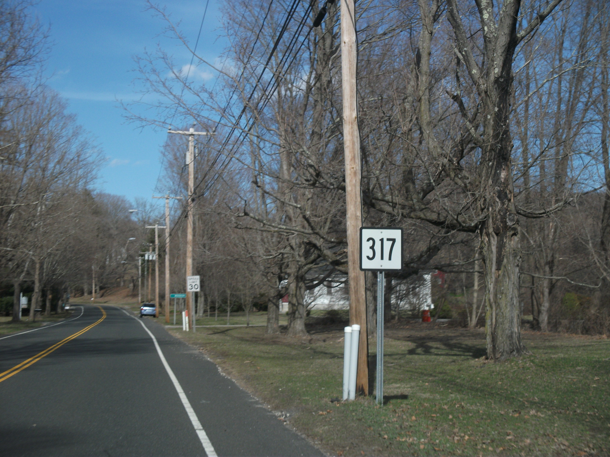
 Route 317 heading eastward through Roxbury. Signage to Woodbury can be seen in the distance
Route 317 begins at an intersection with Route 67 (Church and Southbury Roads) in the town center of Roxbury, Connecticut. Route 317 progresses to the north along Church Street passing Roxbury Congregational Church before turning to the northeast and intersecting with Painter Hill Road, where it changes name to Good Hill Road. After Painter Hill, the surroundings become rural and bend to the southeast into the town of Woodbury. After passing a few homes near the intersections of Lower and Upper County Road, the surroundings continue to be rural woodlands, passing a stretch of residential homes heading downhill into the swamplands nearby. At the three-way junction with Bacon Road, Route 317 turns to the east, passing through a large stretch of mixed surroundings. After passing a small airfield, the route turns to the southeast once again, passes a large farm and enters woodlands once again. At Whittlesey Road, Route 317 takes an even further curve to the southeast, entering the downtown portions of Woodbury. Near the intersection with Old Grassy Hill Road, the highway turns to the northeast and changes names to Sycamore Avenue at the intersection with Transylvania Road. Route 317 continues east further in to downtown Woodbury, where it turns to the north and terminates at an intersection with U.S. Route 6 (Main Street South).[2]
History
Route 317 was commissioned in 1964 from SR 517, and has had no significant changes since.[3]
Junction list
The entire route is in Litchfield County.
Location Mile[1] Destinations Notes Roxbury 0.00 Route 67 (Church Street / Southbury Street)Woodbury 6.10 US 6 (Main Street South)1.000 mi = 1.609 km; 1.000 km = 0.621 mi References
- ^ a b c Connecticut State Highway Log
- ^ Microsoft. Map of Overview map of State Route 317 – Bing Maps (Map). Cartography by NavTEQ, Inc. http://www.bing.com/maps/#Y3A9cXhyZHRxOHd2bnYwJmx2bD0xMyZkaXI9MCZzdHk9YiZydHA9cG9zLjQxLjU1Nzg1NTM4NDE3ODk0Xy03My4zMDc0OTM5Njg4NzMwMl9fX19hX35wb3MuNDEuNTQxMTc1ODczOTY2MTA0Xy03My4yMDgyMDkzMTk5NzgxOF8yOTQlMjBNYWluJTIwU3QlMjBTJTJDJTIwV29vZGJ1cnklMkMlMjBDVCUyMDA2Nzk4LTM0MDlfX19hXyZtb2RlPUQmcnRvcD0wfjB+MH4=. Retrieved April 8, 2011.
- ^ Connecticut Routes, Route 317
Categories:- State highways in Connecticut
- Transportation in Litchfield County, Connecticut

Wikimedia Foundation. 2010.