- Mount Compass, South Australia
-
Coordinates: 35°20′S 138°37′E / 35.333°S 138.617°E
Mount Compass
South AustraliaPopulation: 695 (2006 Census)[1] Postcode: 5210[2] Location: 50 km (31 mi) South of Adelaide LGA: Alexandrina Council State District: Electoral district of Finniss Federal Division: Division of Mayo Mean max temp Mean min temp Annual rainfall 19.6 °C
67 °F8.0 °C
46 °F830 mm
32.7 inMount Compass is a town in the Fleurieu Peninsula, on the A13 south of Adelaide, and North of Victor Harbor. It is a small community, traditionally supported by farming. Both market gardens and dairy have proved lucrative in the area.[3] At the 2006 census, Mount Compass had a population of 695.[1]
The name is said to have come from the 1840s, when Governor Gawler supposedly lost his compass near the site.[4]
There is also a local area school that covers from years R-12 with the focus farm project that is run on the adjacent farm to the school.
Contents
Compass Cup
Since 1973, Mount Compass has hosted the country's only Cow Race, the Compass Cup[5]. Originally conceived as a way to bring together the surrounding communities by the late Marcy Stewart, it has become a regional institution that attracts thousands of visits to the town over the weekend.
Born in and Notable Residents of Mount Compass
- Ronald Ekers, Radio Astronomer
See also
Sports Facilities
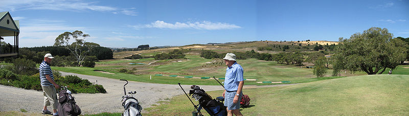
Mount Compass Golf Club
Notes
- ^ a b Australian Bureau of Statistics (25 October 2007). "Mount Compass (L) (Urban Centre/Locality)". 2006 Census QuickStats. http://www.censusdata.abs.gov.au/ABSNavigation/prenav/LocationSearch?collection=Census&period=2006&areacode=UCL417280&producttype=QuickStats&breadcrumb=PL&action=401. Retrieved 11 October 2011.
- ^ "Mount Compass". Gazetteer of Australia online. Geoscience Australia, Australian Government. http://www.ga.gov.au/bin/gazd01?rec=167872.
- ^ Visit Alexandrina - Mount Compass - Tourist Information, Alexandrina Council, Accessed 25/9/07
- ^ Willunga - South Australia, SMH, Published 8 Feb 2004, Accessed 25/9/07
- ^ http://www.compasscup.com.au/ Compass Cup
-
- Climate statistics for Australia locations Kuipto 1971 - 1998, Bureau of Meteorology,Accessed 25/9/07
Categories:- Towns in South Australia
- Fleurieu Peninsula

Wikimedia Foundation. 2010.