- Mount Tsubakuro
-
Mount Tsubakuro 燕岳 
Mount Tsubakuro (August 2007)Elevation 2,762.85 m (9,064 ft) [1] Listing List of mountains in Japan Pronunciation [Tsubakurodake] Location Ōmachi, Nagano Prefecture

Azumino, Nagano Prefecture
Japan
Range Hida Mountains Coordinates 36°24′25″N 137°42′46″E / 36.40694°N 137.71278°ECoordinates: 36°24′25″N 137°42′46″E / 36.40694°N 137.71278°E[2] Topo map Geospatial Information Authority 25000:1 槍ヶ岳[2]
50000:1 槍ヶ岳Climbing Easiest route Hike Mount Tsubakuro (燕岳 Tsubakuro-dake) is a 2,763 metres (9,065 ft) high mountain in Azumino, Nagano Prefecture, Japan. It is situated in Japan's Hida Mountains in Nagano Prefecture. It was specified for Chūbu-Sangaku National Park on December 4, 1934[3].
Contents
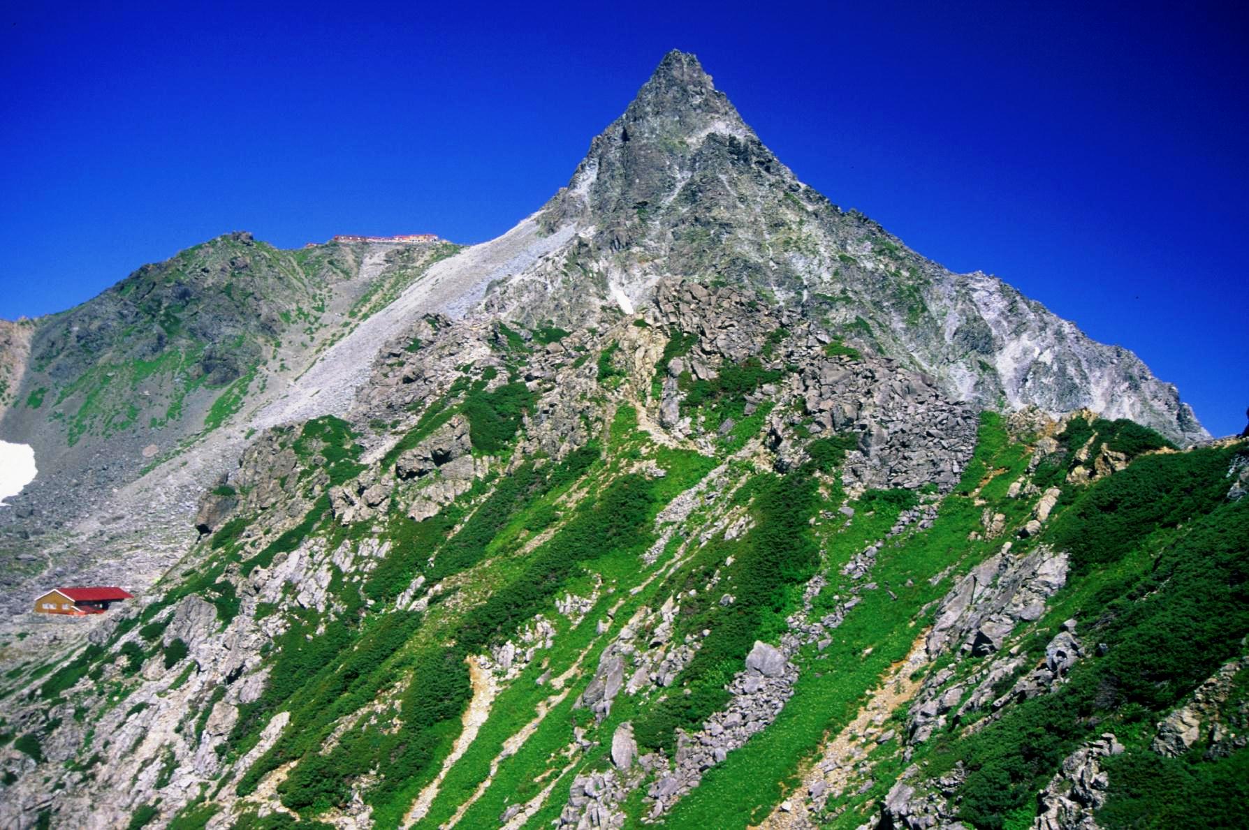
Mountain hut
The mountain climbing trail from this to Mount Yari is called Main Street (表銀座 Omote-Ginza) that means the route is used for a long time very well. Tsubakuro mountain cottage (燕山荘 Enzansō) is one of the oldest Mountain hut in Japan built on July 15, 1921.
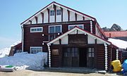

Enzanso
(Tsubakuro mt. cottage)Kassen-goya
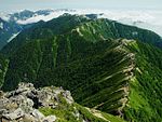
(Kassen hut)Trail
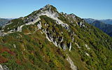
seen from Mt. OhenshoGeography
Nearby mountains
The following are the main mountains in the surrounding.
Image Mountain Elevation Distance
from the TopNote 
Mt. Gaki
餓鬼岳2,647.19 m (8,685 ft) 5.0 km (3.1 mi) 200 Famous Japanese Mountains 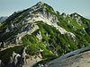
Mt. Tsubakuro
燕岳2,839.58 m (9,316 ft) 0 km (0.0 mi) 200 Famous Japanese Mountains 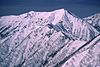
Mt. Otensho
大天井岳2,921.91 m (9,586 ft) 4.7 km (2.9 mi) 200 Famous Japanese Mountains 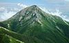
Mt. Jōnen
常念岳2,857 m (9,373 ft) 9.1 km (5.7 mi) 100 Famous Japanese Mountains 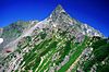
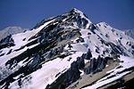
Mt. Yari
槍ヶ岳3,180 m (10,433 ft) 9.3 km (5.8 mi) 100 Famous Japanese Mountains Rivers
The mountain is the source of the following rivers, each of which flows to the Sea of Japan.
- Nakabusa River (tributary of the Shinano River)
- tributary of Takase River
Gallery
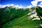
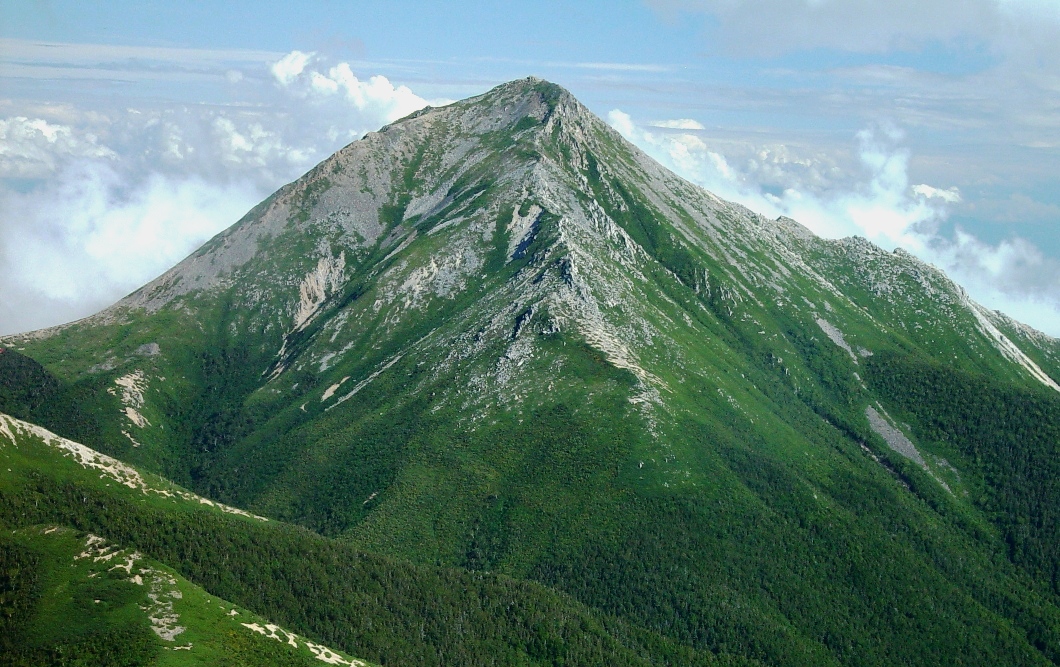
View from Mount Tsubakuro
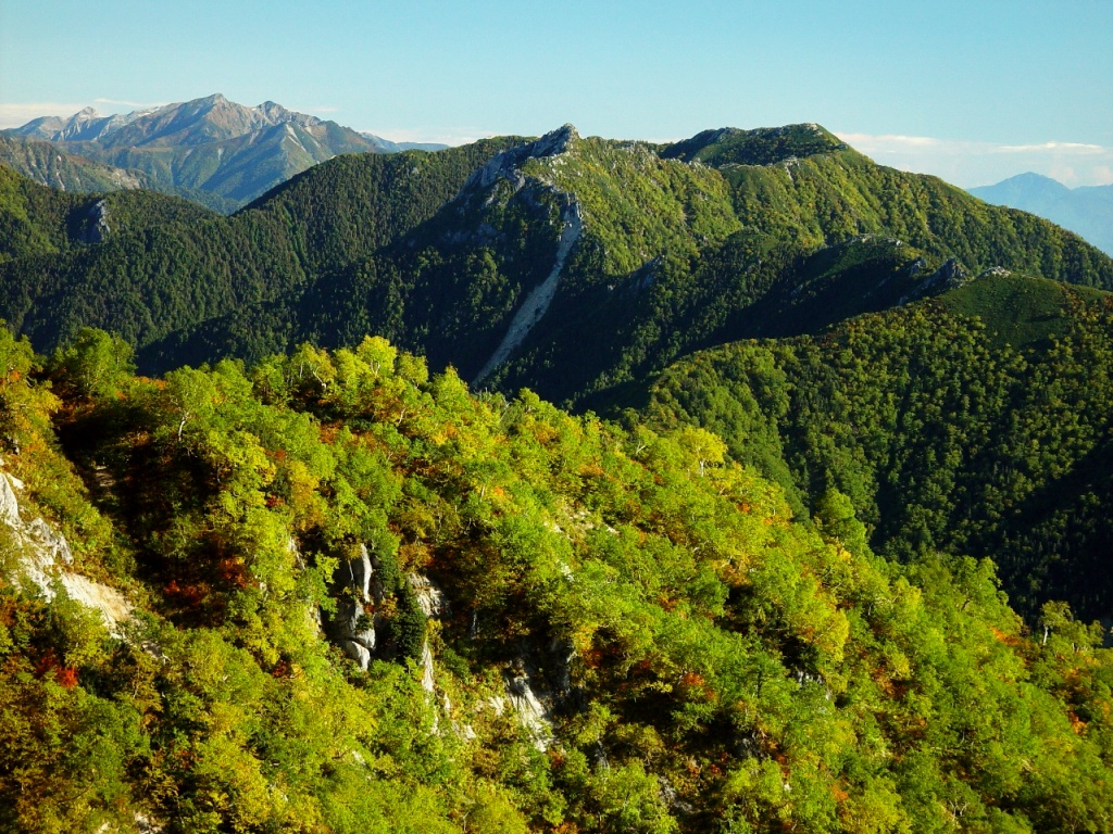
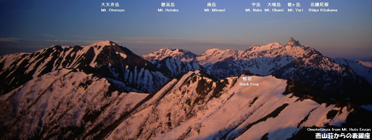
 Mount Otensho and Mount Yari ,seen from Enzansō
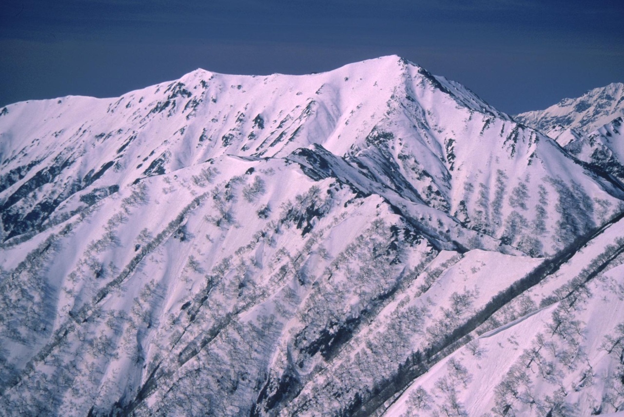
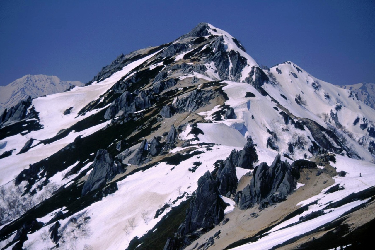
Scenery of Mount Tsubakuro

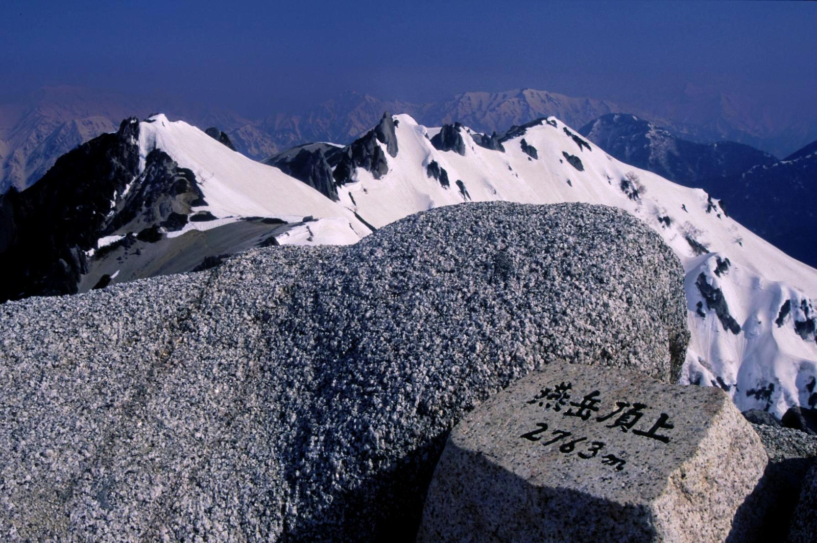
Top in Spring Mt. Tubakuro & Hut in Autumn References
- ^ "Information inspection service of the Triangulation station" (in Japanese). Geospatial Information Authority of Japan,(高山-槍ヶ岳-槍ヶ岳). http://sokuservice1.gsi.go.jp/datums/. Retrieved December 30, 2010.
- ^ a b "Map inspection service" (in Japanese). Geospatial Information Authority of Japan,(高山-槍ヶ岳-槍ヶ岳). http://watchizu.gsi.go.jp/watchizu.html?longitude=137.7128&latitude=36.4069. Retrieved December 30, 2010.
- ^ "Chūbu-Sangaku National Park". Ministry of the Environment (Japan). http://www.env.go.jp/en/nature/nps/park/parks/chubu.html. Retrieved December 30, 2010.
See also
Categories:- Hida Mountains
- Mountains of Nagano Prefecture
- Visitor attractions in Nagano Prefecture
- Nagano geography stubs


Wikimedia Foundation. 2010.