- Mallin
-
Mallin 
 MallinLocation of Mallin within Mecklenburgische Seenplatte district
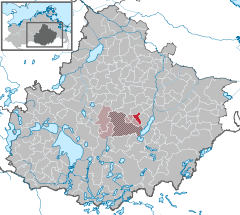
Coordinates 53°31′59″N 13°08′12″E / 53.53306°N 13.13667°ECoordinates: 53°31′59″N 13°08′12″E / 53.53306°N 13.13667°E Administration Country Germany State Mecklenburg-Vorpommern District Mecklenburgische Seenplatte Municipal assoc. Penzliner Land Mayor Robert Ernst Basic statistics Area 10.63 km2 (4.10 sq mi) Elevation 64 m (210 ft) Population 373 (31 December 2010)[1] - Density 35 /km2 (91 /sq mi) Other information Time zone CET/CEST (UTC+1/+2) Licence plate MÜR Postal code 17217 Area code 03962 Website www.penzliner-land.de Mallin is a municipality in the Mecklenburgische Seenplatte district, in Mecklenburg-Vorpommern, Germany.
References
- ^ "Bevölkerungsentwicklung der Kreise und Gemeinden" (in German). Statistisches Amt Mecklenburg-Vorpommern. 31 December 2010. http://service.mvnet.de/statmv/daten_stam_berichte/e-bibointerth01/bevoelkerung--haushalte--familien--flaeche/a-i__/a123__/2010/daten/a123-2010-22.pdf.
Categories:- Municipalities in Mecklenburg-Vorpommern
- Mecklenburgische Seenplatte (district) geography stubs


Wikimedia Foundation. 2010.