- Muxerath
-
Muxerath 
 MuxerathLocation of Muxerath within Eifelkreis Bitburg-Prüm district
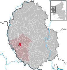
Coordinates 49°59′30″N 6°16′12″E / 49.99167°N 6.27°ECoordinates: 49°59′30″N 6°16′12″E / 49.99167°N 6.27°E Administration Country Germany State Rhineland-Palatinate District Eifelkreis Bitburg-Prüm Municipal assoc. Neuerburg Mayor Rudolf Bretz Basic statistics Area 4.54 km2 (1.75 sq mi) Elevation 512 m (1680 ft) Population 58 (31 December 2010)[1] - Density 13 /km2 (33 /sq mi) Other information Time zone CET/CEST (UTC+1/+2) Licence plate BIT Postal code 54673 Area code 06564 Website www.vg-neuerburg.de Muxerath is a municipality in the district of Bitburg-Prüm, in Rhineland-Palatinate, western Germany.
References
- ^ "Bevölkerung der Gemeinden am 31.12.2010" (in German). Statistisches Landesamt Rheinland-Pfalz. 31 December 2010. http://www.statistik.rlp.de/fileadmin/dokumente/berichte/A1033_201022_hj_G.pdf.
Categories:- Municipalities in Rhineland-Palatinate
- Bitburg-Prüm geography stubs


Wikimedia Foundation. 2010.