- Nea Smyrni
-
Nea Smyrni, Athens, Greece
Νέα Σμύρνη
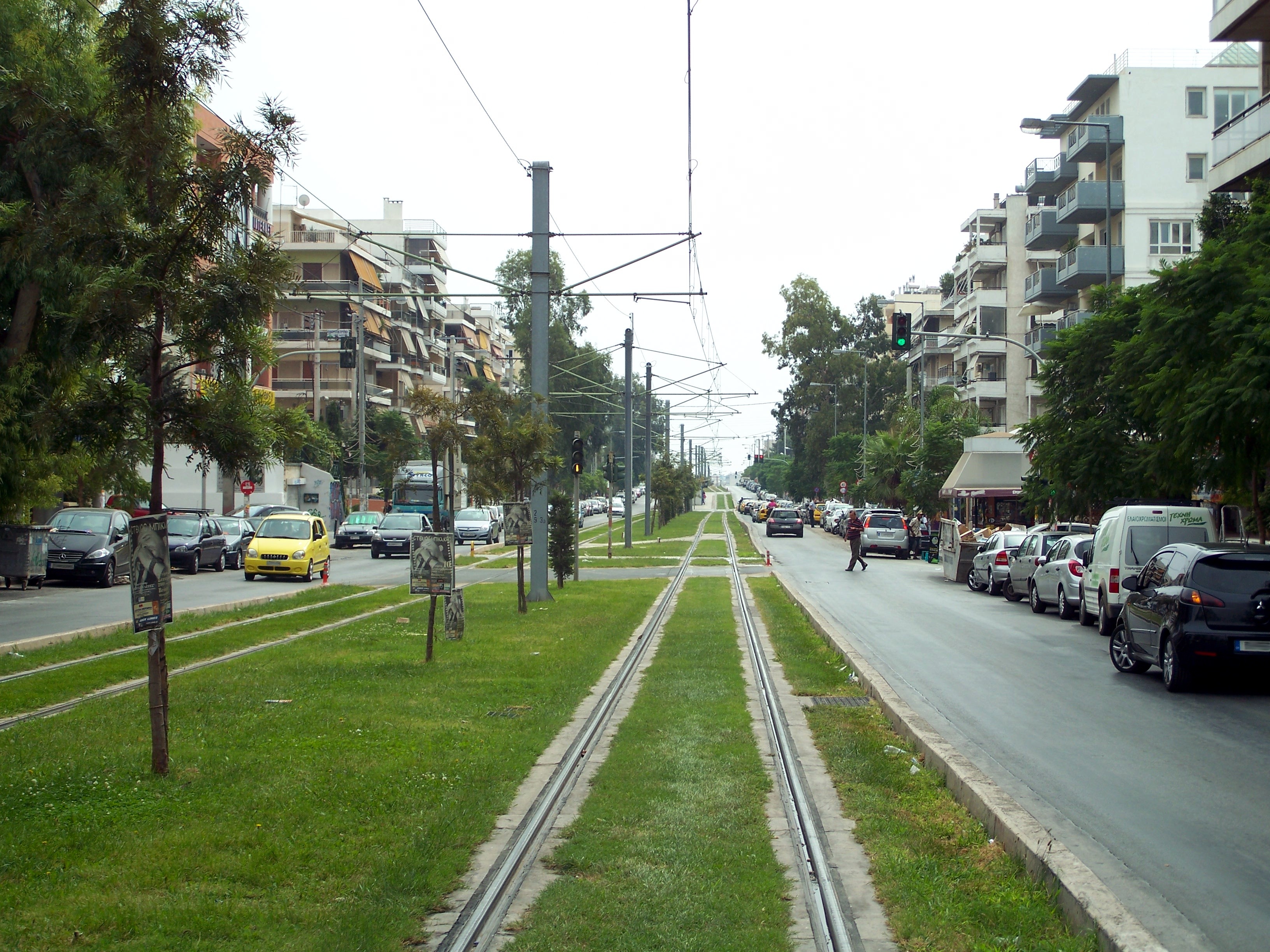
Eleftheriou Venizelou Ave., main street of Nea SmyrniLocation 
 Nea Smyrni, Athens, Greece
Coordinates 37°57′N 23°43′E / 37.95°N 23.717°ECoordinates: 37°57′N 23°43′E / 37.95°N 23.717°E Location within the region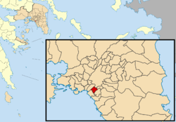
Government Country: Greece Region: Attica Regional unit: South Athens Population statistics (as of 2001) Municipality - Population: 73,986 - Area: 3.524 km2 (1 sq mi) - Density: 20,995 /km2 (54,377 /sq mi) Other Time zone: EET/EEST (UTC+2/3) Elevation (center): 50 m (164 ft) Postal: 171 xx Telephone: 210 Auto: Z Website www.neasmyrni.net.gr  The Iosifogleion building, used as a child shelter since the 1930's, at Nea Smyrni
 The bell tower of Agia Fotini at Nea Smyrni
Nea Smyrni (Greek: Νέα Σμύρνη, "New Smyrna") is a southern suburb of Athens, Greece. Nea Smyrni is located about 5 km SW of downtown Athens, about 5 km SW of Kifissias Avenue, W of Vouliagmenis Avenue, about 6 km E of Piraeus, and NE of Poseidonos Avenue.
The area was once partly made up of farmlands, with woods dominating the landscape, and its mixed farming included pastures, vegetables, and groves ; forests lay to the east. Following the Population exchange between Greece and Turkey in 1922, a number of refugees principally from Smyrna, (today's İzmir), arrived and settled in the southwestern part of Athens, which became Nea Smyrni. Many of its inhabitants, including the soccer team of Panionios, moved here from Smyrna, transforming the plain into an urban area.
The district is mainly made up of residential areas with a few business areas particularly on Syngrou Avenue. Its two main streets have been linked since 1995 with interchanges and the roads connecting with Hymittos Street and Syngrou Avenue to the north. The Athens Industrial Area lies to the north.
Nea Smyrni has schools, lyceums, gymnasia, banks, post offices and squares (plateies) with a good number of high-end bars, cafes and shops.
Contents
Sporting Teams
- Panionios F.C. plays in the Super League Greece
- Panionios BC plays in the A1 Division
- Panionios Water Polo plays in the A1 Division
- AONS Milon (Greek: ΑΟΝΣ Μίλων)
Sites of interest
- Nea Smyrni Stadium, built in 1939, renovated in 1988. Panionios FC plays in the stadium.
- Nea Smyrni Indoor Hall, holds up to 1,832 persons, website: http://www.stadia.gr/nsmyrni-b/nsmyrni-b.html
- Nea Smyrni Square (Greek: Πλατεία Νέας Σμύρνης)
- Nea Smyrni Central Park (Greek: Άλσος Νέας Σμύρνης)
- Estia (Greek: Εστία)
Notable people
- Polina, singer
Sister cities
Historical population
Year Population 1928 210 1933 6.500 1940 15.000 1951 22.074 1961 32.865 1971 42.512 1981 67.408 1991 69.749 2001 73.986 It is the fourth-most densely populated municipality in Greece (following Neapoli, Kallithea, and Ampelopikoi).
See also
- List of municipalities of Attica
References
North: Athens, Dafni West: Kallithea Nea Smyrni East: Agios Dimitrios South: Palaio Faliro Administrative division of the Attica Region Area: 3,808km² • Population: 3,761,810 (2001) • Capital: AthensRegional unit of Central AthensAthens • Dafni–Ymittos • Filadelfeia–Chalkidona • Galatsi • Ilioupoli • Kaisariani • Vyronas • Zografou Regional unit of North AthensAgia Paraskevi • Amarousio • Chalandri • Filothei–Psychiko • Irakleio • Kifisia • Lykovrysi–Pefki • Metamorfosi • Nea Ionia • Papagou–Cholargos • Penteli • VrilissiaRegional unit of West AthensRegional unit of South AthensAgios Dimitrios • Alimos • Elliniko–Argyroupoli • Glyfada • Kallithea • Moschato–Tavros • Nea Smyrni • Palaio FaliroRegional unit of PiraeusRegional unit of East AtticaAcharnes • Dionysos • Kropia • Lavreotiki • Marathon • Markopoulo • Oropos • Paiania • Pallini • Rafina–Pikermi • Saronikos • Spata–Artemida • Vari–Voula–VouliagmeniRegional unit of West AtticaRegional unit of IslandsRegional governor: Ioannis Sgouros (el) • Website: www.patt.gov.grCategories:
- Municipalities of Attica
- Populated places in South Athens
- Occupation of Smyrna


Wikimedia Foundation. 2010.