- Munmorah State Conservation Area
-
Munmorah State Conservation Area IUCN Category IV (Habitat/Species Management Area)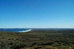
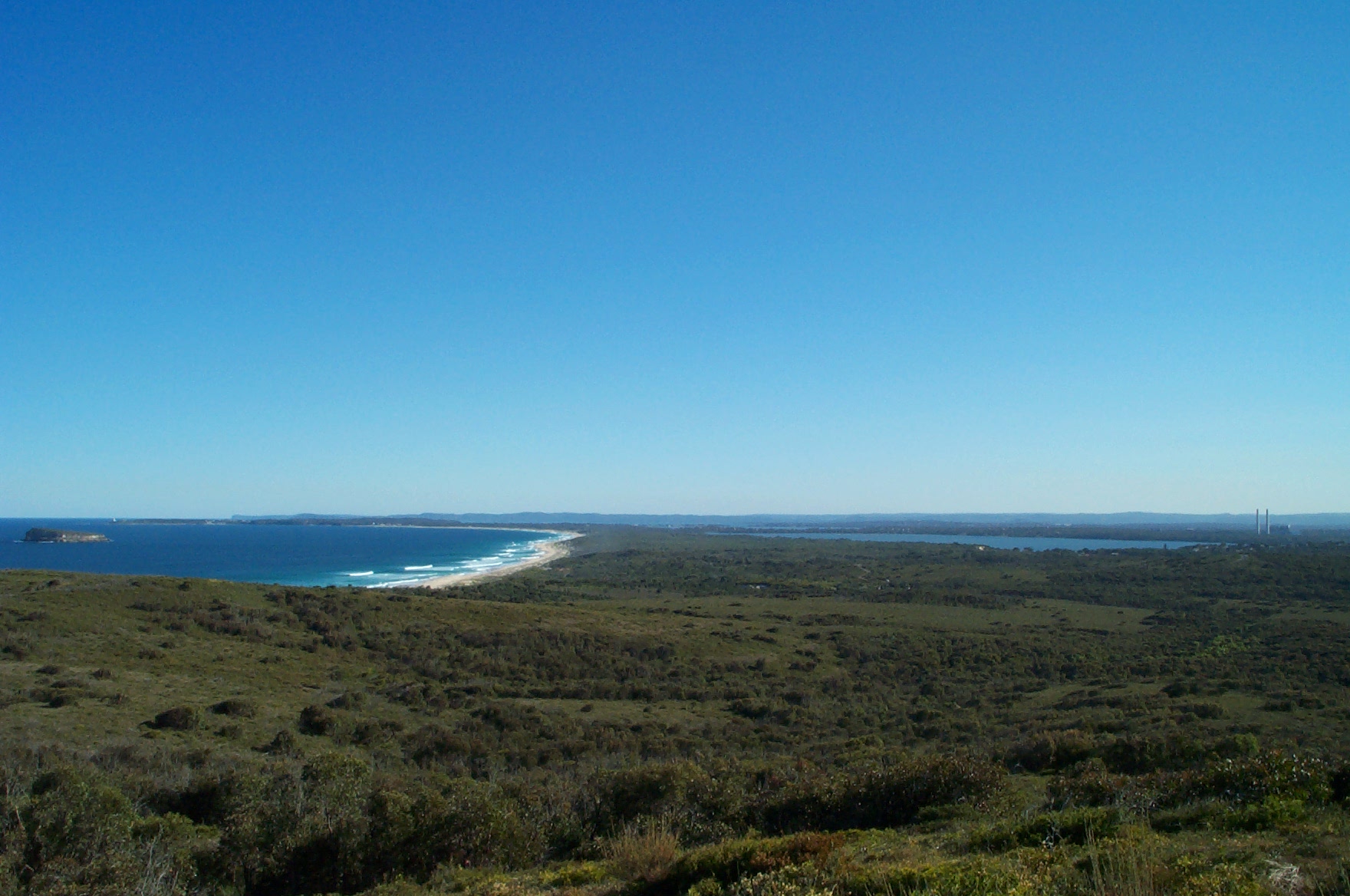
Location New South Wales Nearest city Wyong Coordinates 33°10′55″S 151°36′04″E / 33.182°S 151.601°ECoordinates: 33°10′55″S 151°36′04″E / 33.182°S 151.601°E Area 15.3 km² Established January 1, 1977 Governing body NSW National Parks and Wildlife Service Munmorah State Conservation Area is located on the Central Coast of New South Wales, Australia. The area's coastal setting and panoramic views, perched sand dunes, diverse vegetation communities, protected threatened species and migratory bird habitats and opportunities for nature based recreation and opportunities for educational and scientific study were cited as reasons for the reserve's creation.[1] The reserve is part of the Tuggerah Important Bird Area, identified as such by BirdLife International because of its importance for a variety of water and woodland birds.[2]
Contents
Places of interest
- Birdie Beach (Includeas area for unclad bathing).
- Tea Tree Picnic Area - Gas barbecues
- Frazer Beach
- Palms Picnic Area
- The Palms Walking Track
- Wybung Trig Lookout
- Snapper Point
History
The land now occupied by Munmorah State Conservation Area was first inhabited by the Darkinjung people and the Awabakal people, the Indigenous Australians. The Darkinjung occupied the southern section and the Awabakal occupied the northern section. It is believed Europeans first discovered the Tuggerah Lakes in 1796. It was found by Governor of Tasmania, Colonel David Collins, who had arrived on the First Fleet during the search for an escaped convict woman, Mary Morgan, who was said to be living with the Aborigines to the North of the Hawkesbury River.[4]
See also
- Protected areas of New South Wales (Australia)
References
- ^ NSW National Parks and Wildlife Service. "Munmorah State Conservation Area and Bird Island Nature Reserve - Plan of Management" (PDF). http://www.nationalparks.nsw.gov.au/PDFs/PoM_MunmorahSCA_BirdIslandNR.pdf. Retrieved 2007-07-25.
- ^ BirdLife International. (2011). Important Bird Areas factsheet: Tuggerah. Downloaded from http://www.birdlife.org on 2011-11-17.
- ^ Stralia Web. "Munmorah State Conservation Area Central Coast". http://www.centralcoastaustralia.com.au/AreaInfo/attractions_munmorah.asp. Retrieved 2008-09-09.
- ^ "theentrancetcm.com.au". Who Found Tuggerah Lake?. http://www.theentrancetcm.com.au/history/who_found.html. Retrieved 18 July 2006.
External links
Categories:- IUCN Category IV
- Central Coast, New South Wales
- Protected areas established in 1977
- Protected areas of New South Wales
- Important Bird Areas of Australia
- 1977 establishments in Australia
- New South Wales protected area stubs
Wikimedia Foundation. 2010.