- Mandovi River
-
Coordinates: 15°30′12″N 73°50′28″E / 15.503373°N 73.841246°E
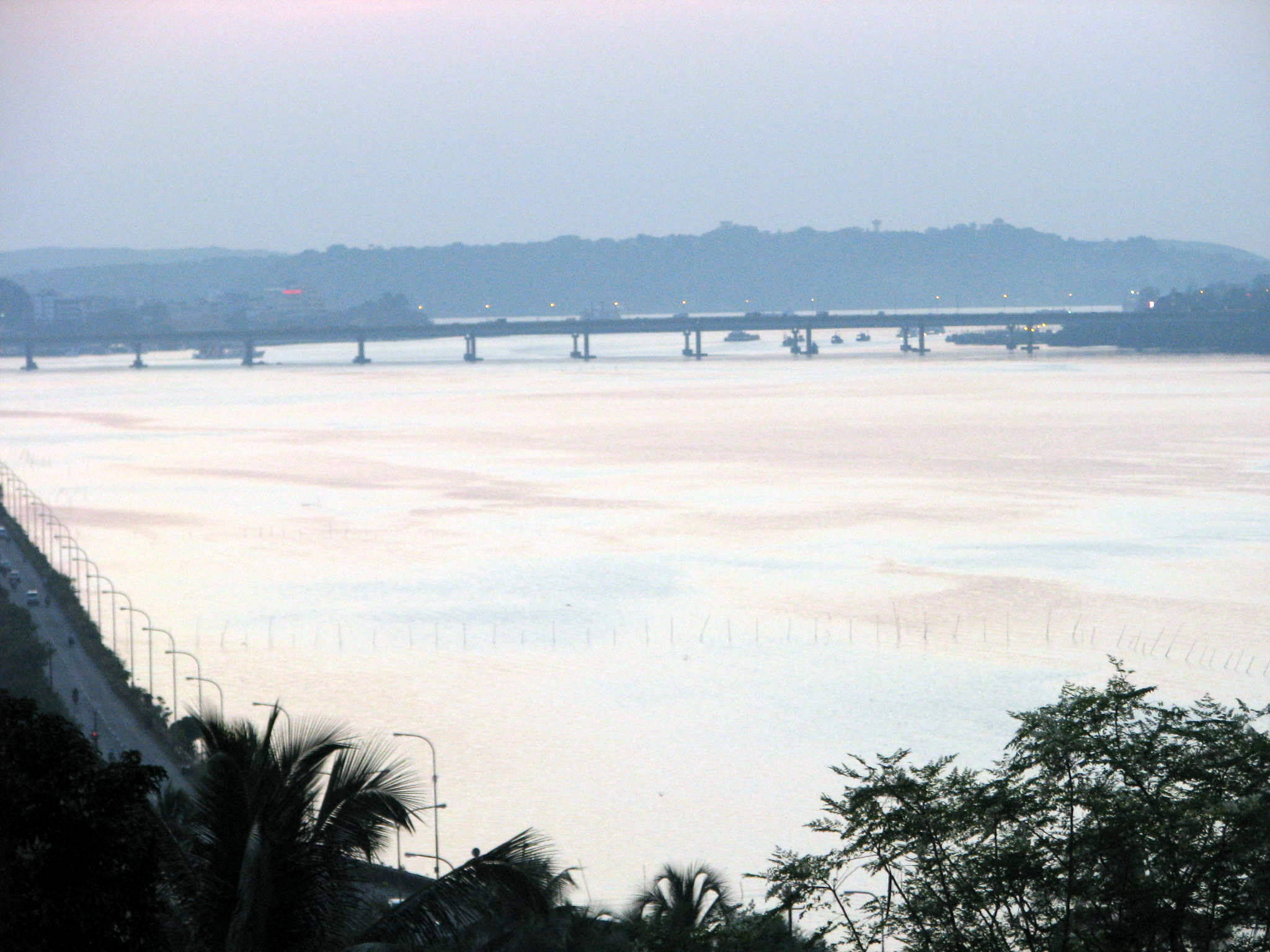
 Mandovi Bridge view from Ribandar
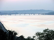
 Mandovi Bridge and River during monsoon. View from Panjim
The Mandovi River (Konkani: मांडवी Mandovi, pronounced [maːɳɖ(ɔ)wĩː]),also known as Mahadayi or Mhadei river, is described as the lifeline of the state of Goa, India. The river has a length of 77 kilometers, 29km in Karnataka and 52 kilometers in Goa. It originates from a cluster of 30 springs at Bhimgad in the Western Ghats in the Belgaum district, Karnataka [1]. The river, has 2032 sq km catchment area in Karnataka while 1,580 sq km catchment area in Goa[2].With its cerulean waters, Dudhsagar Falls, and Varapoha Falls it is also known as the Gomati in a few places. Mandovi and the Zuari River are the two primary rivers in the state of Goa.
The Mandovi enters Goa from the north via the Sattari Taluka. The Mandovi flows through Cumbarjua, Divadi and Chodné, eventually pouring into the Arabian Sea. Mandovi joins with the Zuari at a common point at Cabo Aguada, forming the Marmogoa harbour. Panaji, the state capital and Old Goa, the former capital of Goa, are both situated on the left bank of the Mandovi. The river Mapusa is a tributary of the Mandovi.
The Cumbarjuem Canal, which links both rivers, has made the interiors of the Mandovi accessible to ships carrying iron ore. Iron ore is Goa's prime mineral and it is mined in the eastern hills. Three large freshwater isles — Divar, Chorao and Vashee are present in the Mandovi near the town of Old Goa. The island of Chorao, is home to the Salim Ali Bird Sanctuary, named after the renowned ornithologist Salim Ali. A regular ferry transports the inhabitants between the isles and the mainland.
Spanning across the Mandovi River near Panjim is the majestic Mandovi Bridge. The bridge was notorious for its collapses in the 1980s before a new bridge was constructed to accommodate heavy transport vehicles. The Mandovi Bridge links the towns of Panjim to Porvorim.
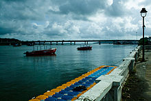
During the winter months, the peak tourist season, special dusk cruises on the Mandovi complete with serenading bands add to the charm of the river.[3]
The sharing of water of this river is a a cause of dispute between the governments of Karnataka and Goa. This is aggravated by Karnataka government's proposal to divert some water from the Mahadayi river to the Malaprabha river basin as part of the Kalasa-Banduri Nala project
Notes
Categories:- Rivers of Goa
- Rivers of Karnataka

Wikimedia Foundation. 2010.