- Numinbah Valley
-
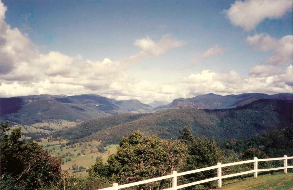
Numinbah Valley 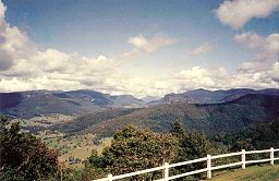 View from Rosins Lookout Conservation Park over the Numinbah Valley.
Country Australia State Queensland Region South East Queensland District Gold Coast hinterland Range McPherson Range River Nerang River The Numinbah Valley is an area of the Gold Coast hinterland in South East Queensland, Australia. This Scenic Rim valley contains many rocky outcrops, waterfalls, rainforest walks, and good hinterland scenery.
Compared to other areas of the Gold Coast the Numinbah Valley has remained largely undeveloped in recent decades. To the east is the Springbrook plateau. On the eastern side of the valley is the Natural Bridge in Springbrook National Park and to the west lies the Lamington Plateau and the Lamington National Park. To the south is the Tweed Valley.
Vegetation in the valley includes dry and wet sclerophyll forest. The valley is the upper catchment for the Nerang River which flows into the Hinze Dam in the lowest and most northern part of the valley.
The communities of Advancetown and the small township of Numinbah are located in Numinbah Valley. The valley was first explored by timber cutters seeking cedar in 1845.[1] Bullocks hauled the felled timer to Nerang. Later in the 1860s, when a route to the Tweed Valley was discovered as surveyors mapped the Queensland/New South Wales border, settlers moved into the area.[1] A township developed in the 1880s. A sawmill operated from 1909 until 1944 when agriculture and dairying became the primary industries.[1]
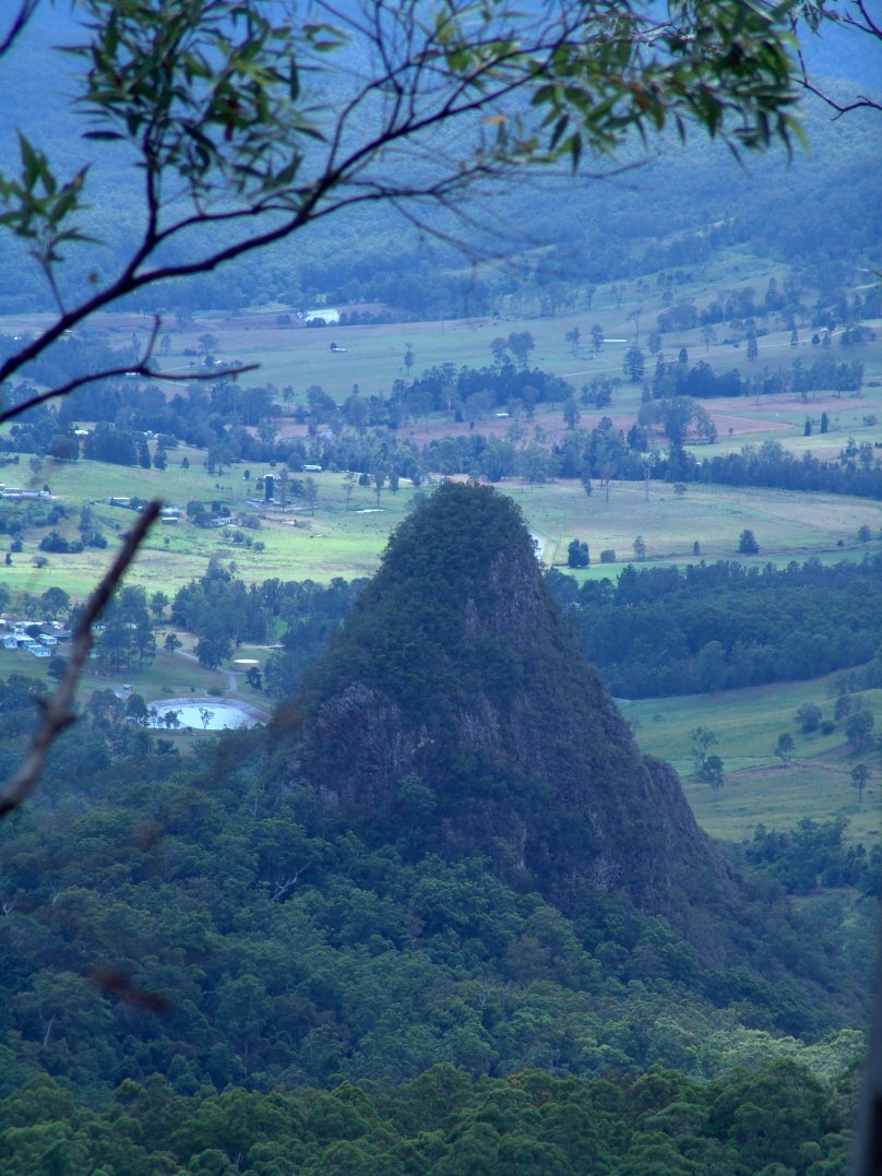
 Egg Rock, from Binna Burra
Facilities
Institutions built in Numinbah Valley include the Numinbah Correctional Centre and Numinbah Valley State Primary School. A Numinbah Valley Landcare group operates in the valley.
Camp Bornhoffin or the Numinbah Valley Environmental Education Centre caters for large groups of students. These large recreational facilities are situated in the southern and most hightest part where the headwaters of the Nerang River coalesce.
See also
- Fassifern Valley
- List of valleys of Australia
- Lockyer Valley
- Samford Valley
References
- ^ a b c Environmental Protection Agency (Queensland) (2000). Heritage Trails of the Great South East. State of Queensland. pp. 20. ISBN 0-7345-1008-X.
Coordinates: 28°08′28.06″S 153°13′26.51″E / 28.1411278°S 153.2240306°E
Categories:- Gold Coast, Queensland
- Valleys of Australia
Wikimedia Foundation. 2010.