- Kyancutta, South Australia
Infobox Australian Place | type = town
name = Kyancutta
state = sa
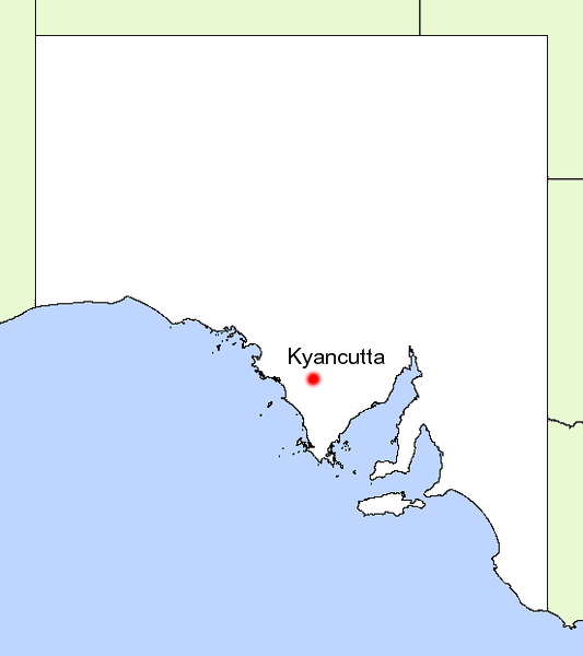
caption = Location of Kyancutta in South Australia
lga = District Council of Le Hunte
postcode = 5651
est = 1917
pop = [http://www.fallingrain.com/world/AS/5/Kyancutta.html 33]
elevation= 74
maxtemp = 25.1
mintemp = 9.2
rainfall = 314.4
stategov = Flinders
fedgov = Grey
dist1 = 558
dir1 = North West
location1= AdelaideKyancutta is a small
wheatbelt town located at the junction of the Eyre andTod Highway s on theEyre Peninsula inSouth Australia . Once a busy town with anairport , Kyancutta is now nearly aghost town , acting only as a centre for theagricultural districts surrounding it, as well as passingtourists .History
The
town was established in 1917 to support the surroundingagricultural lands.Citation
last = Sydney Morning Herald Travel | title = Kyancutta | url = http://www.smh.com.au/news/South-Australia/Kyancutta/2005/02/17/1108500204350.html | access-date = 2007-06-15 ] The name is thought to be derived from the Aboriginal 'kanjakatari'; kanja - 'stone ' and katari - 'surfacewater ', inferring water in rocks.Citation
last = State Library of South Australia Manning Index | title = Kyancutta | url = http://www.slsa.sa.gov.au/manning/pn/k/k7.htm | access-date = 2007-06-15 ] Another possible origin is that the name was taken from a nearbyhill 'Kutta kutta' which was the local Aboriginal name for thenight hawk .An
airport was built not long after establishment, and flights betweenAdelaide and Perth stopped there regularly. This added another facet to the townseconomy , and caused the town to fall into a steady decline after its closure in 1935. ]A
school was built in the town in 1920, remaining active for 25 years before closing in 1945. ]An official
weather station , established at Kyancutta in 1928 became Australia's first fully automated station with a threehour ly programme ofweather observation which is still ongoing under the care of theAustralian Bureau of Meteorology .Citation
last = Australian Bureau of Meteorology | title = Climate statistics for Australian locations - Kyancutta | url = http://www.bom.gov.au/climate/averages/tables/cw_018044.shtml | access-date = 2007-06-15 ]In 1986, a
memorial park was established to honour the pioneers ofagricultural settlement in the area.Citation
last = Tourism Eyre Peninsula | title = Kyancutta | url = http://www.tep.com.au/region/kyancutta.htm | access-date = 2007-06-15 ]Economy
The town now is the service centre for the surrounding
agricultural districts, withcereal crops andsheep grazing the prevalent industries.Wheat silos for storage are also located within Kyancutta.It also serves as a rest point for
traveller s making their way across theEyre Highway . Kyancutta has no real attractions of its own, but a number of natural features including 'Waddikee Rock' and 'Corrobinne' Hill do lie within 20km of the town. ]Facilities
Kyancutta has no
accommodation oreating facilities available, however ageneral store withpetrol pumps is present. For the locals, apost office and a sporting complex including 18 holegolf course,tennis , football andnetball facilities are also located in the town. ]References
External links
* [http://www.tep.com.au/region/kyancutta.htm Tourism Eyre Peninsula page]
* [http://www.smh.com.au/news/South-Australia/Kyancutta/2005/02/17/1108500204350.html Sydney Morning Herald Travel page]
Wikimedia Foundation. 2010.