- Alag-Erdene, Khövsgöl
Infobox Settlement
official_name = Alag-Erdene
other_name =
native_name =
nickname =
settlement_type =
motto =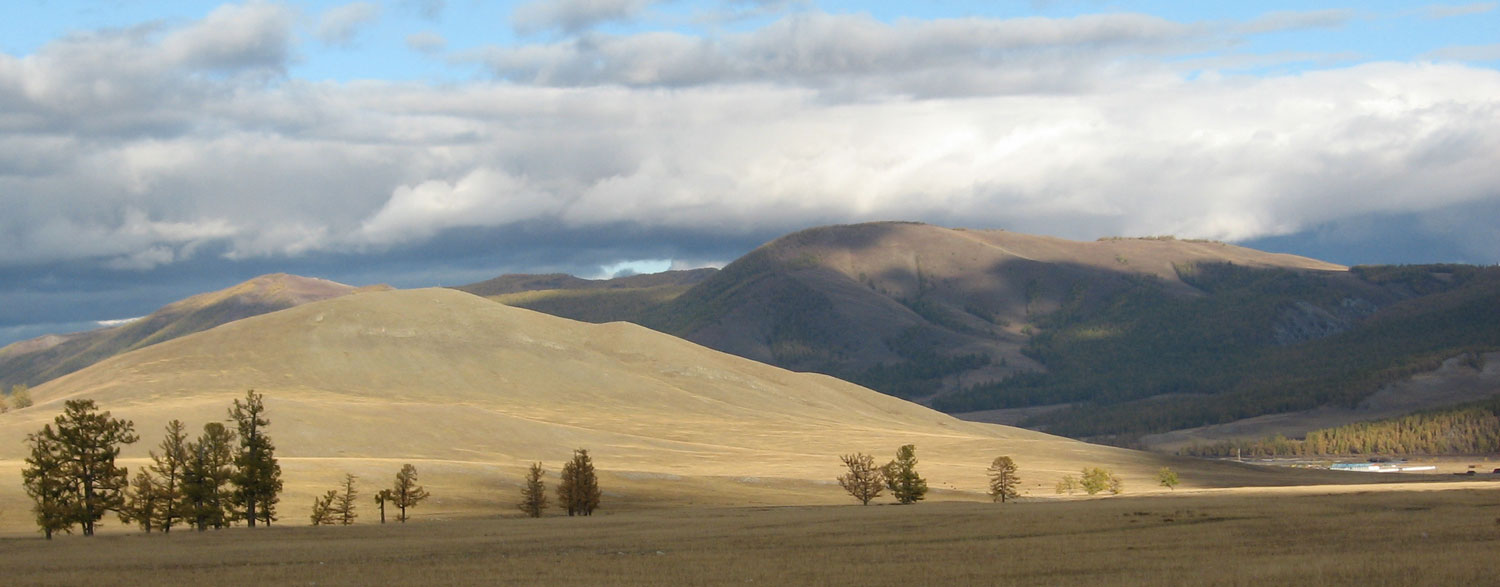
imagesize = 300px
image_caption = Close to Alag-Erdene sum center, September 2006
flag_size =
image_
seal_size =
image_shield =
shield_size =
image_blank_emblem =
blank_emblem_type =
blank_emblem_size =
mapsize =
map_caption =
mapsize1 =
map_caption1 =
image_dot_
dot_mapsize =
dot_map_caption =
dot_x = |dot_y =
pushpin_
pushpin_label_position =bottom
pushpin_map_caption =Location in Mongolia
pushpin_mapsize =300subdivision_type = Country
subdivision_name =
subdivision_type1 = Province
subdivision_name1 =Khövsgöl Province
subdivision_type2 =
subdivision_name2 =
subdivision_type3 =
subdivision_name3 =
subdivision_type4 =
subdivision_name4 =
government_footnotes =
government_type =
leader_title =
leader_name =
leader_title1 =
leader_name1 =
leader_title2 =
leader_name2 =
leader_title3 =
leader_name3 =
leader_title4 =
leader_name4 =
established_title =
established_date =
established_title2 =
established_date2 =
established_title3 =
established_date3 =
area_magnitude =
unit_pref =Imperial
area_footnotes =
area_total_km2 =
area_land_km2 =
area_water_km2 =
area_total_sq_mi =
area_land_sq_mi =
area_water_sq_mi =
area_water_percent =
area_urban_km2 =
area_urban_sq_mi =
area_metro_km2 =
area_metro_sq_mi =
area_blank1_title =
area_blank1_km2 =
area_blank1_sq_mi =
population_as_of =2005
population_footnotes =
population_note =
population_total =2992
population_density_km2 =
population_density_sq_mi =
population_metro =
population_density_metro_km2 =
population_density_metro_sq_mi =
population_urban =
population_density_urban_km2 =
population_density_urban_sq_mi =
population_blank1_title =
population_blank1 =
population_blank2_title
population_blank2 =
population_density_blank1_km2 =
population_density_blank1_sq_mi =
timezone =
utc_offset =
timezone_DST =
utc_offset_DST =
latd=50 |latm=07 |lats=02 |latNS=N
longd=100 |longm=02 |longs=45 |longEW=E
elevation_footnotes =
elevation_m =
elevation_ft =
postal_code_type =
postal_code =
area_code =
blank_name =
blank_info =
blank1_name =
blank1_info =
website =
footnotes =Alag-Erdene ( _mn. Алаг-Эрдэнэ) is a sum of Khövsgöl aimag. The area is about 4,500 km², of which 1,460 km² are forest, and 2,760 km² are pasture. In 2005, the sum had 2992 inhabitants, incl. some Darkhad, Khotgoid, and Uriankhai. The center, officially named "Mankhan" ( _mn. "Манхан") is situated close to the road from Mörön to Khatgal, 62 km north of Mörön and 733 kilometers from Ulaanbaatar.
History
The Alag-Erdene sum was founded, together with the whole Khövsgöl aimag, in 1931. In 1933, it had about 3,400 inhabitants in 1006 households, and about 82,000 heads of livestock. In 1942, two bags were transferred to Renchinlkhümbe, in 1952 two other bags became part of Tünel sum. In 1956, three bags were transferred from Büren sum, together with the Khögjil
negdel .Economy
In 2004, there were roughly 76,000 heads of livestock, among them 26,000
sheep , 36,000goat s, 11,500cattle andyak s, 6,400horse s, and 33 camels. [ [http://202.131.5.91/mal_tool/livestock2004.pdf National Statistical Office: Livestock count 2004 (in Mongolian), p.111] ] During the 1980s,Soviet geologists conducted large-scale exploration projects forphosphorite in the area, but these projects were discontinued in the early 1990s, due to both the general political/economic situation after the end of socialism, and the discontent of the local population. Other commodities include black coal,graphite , andquartz Miscellaneous
Lake Khövsgöl borders the sum to the north. Erkhel nuur was the site of anavian influenza outbreak in 2005.Literature
M.Nyamaa, "Khövsgöl aimgiin lavlakh toli", Ulaanbaatar 2001, p.14f
References

Wikimedia Foundation. 2010.