Crawfish Creek

Crawfish Creek
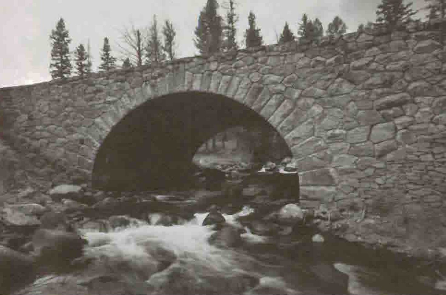
Crawfish Creek
River
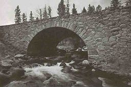
Bridge across Crawfish Creek, 1989
Country United States
State Wyoming
Source
 - location 44°10′47″N 110°42′08″W / 44.17972°N 110.70222°W / 44.17972; -110.70222 (Crawfish Creek source)[1], Yellowstone National Park, Wyoming
Mouth
 - location Lewis River44°09′02″N 110°40′05″W / 44.15056°N 110.66806°W / 44.15056; -110.66806 (Crawfish Creek mouth)Coordinates: 44°09′02″N 110°40′05″W / 44.15056°N 110.66806°W / 44.15056; -110.66806 (Crawfish Creek mouth)[1], Yellowstone National Park, Wyoming
 - elevation 6,913 ft (2,107 m)

Crawfish Creek is a short stream in Yellowstone National Park[2] in the U.S state of Wyoming[3] This watercourse is known for its unusually warm temperatures compared to other surface water bodies in Wyoming; these elevated temperatures enable crawfish to thrive in the water. Summer water temperatures are in the range of 22 to 24 degrees Celsius; pH levels are typically about 9.1, or somewhat alkaline.[4] The warm waters come from a southern portion of the Yellowstone volcanic zone which produces hot water from hot springs and fumaroles in the area. The stream feeds into the Lewis River just south of the Lewis River Canyon and just before the Lewis River converges with the Snake River.

30 feet (9.1 m) Moose Falls is located 75 yards (69 m) upstream from the Crawfish Creek confluence with the Lewis River.

The watershed of Crawfish Creek is densely forested with lodgepole pine, Douglas fir and other tree species.

Notes

  1. ^ a b U.S. Geological Survey Geographic Names Information System: Crawfish Creek
  2. ^ U.S. Geological Survey, Quadrangle Map
  3. ^ Trails Unlimited, "Yellowstone National Park", 2002, National Geographic Soc.
  4. ^ C.M. Hogan, Lumina Tech, Water Quality Baslines in selected surface waters of Grand Teton and Yellowstone National Parks, 2007

External links


Wikimedia Foundation. 2010.

Игры ⚽ Нужно сделать НИР?

Look at other dictionaries:

  • Crawfish Key — is an island in the Florida Keys in Monroe County, Florida, United States. It is within the boundaries of the Key West National Wildlife Refuge. Located in the Outlying Islands of the Florida Keys, it is in the eastern Mule Keys that are 9 miles… …   Wikipedia

  • North Fork John Day Wilderness — IUCN Category Ib (Wilderness Area) …   Wikipedia

  • Blanco Canyon — is a canyon located in the U.S. state of Texas. Eroded by the White River into the Caprock Escarpment on the east side of the Llano Estacado, the canyon runs for convert|30|mi|km in a southeasterly direction, gradually widening from its beginning …   Wikipedia

  • Moose Falls — 2009 Location Yellowstone National Park, Teton County, Wyoming Coordinates …   Wikipedia

  • Chickamauga, Georgia —   City   …   Wikipedia

  • Battle of Chickamauga — Part of the American Civil War Battle of Chickamauga (lithograph by Kurz and Allison, 1890) …   Wikipedia

  • Cazadero, California — Infobox Settlement official name = Cazadero, California other name = Ingram s Station settlement type = unincorporated town pushpin pushpin label position = right pushpin map caption = Location within the state of California subdivision type =… …   Wikipedia

  • List of rivers of Wisconsin — This is a list of rivers in the U.S. state of WisconsinBy Drainage BasinThis list is arranged by drainage basin, with respective tributaries indented under each larger stream s name. Great Lakes Drainage Lake Michigan *Menominee River **Wausaukee …   Wikipedia

  • Mule Keys — The Mule Keys is a group of scattered islets in the Florida Keys in Monroe County, Florida, United States. They are between 3 and 12 miles (5 20 km) west of Key West, separated from it by the Northwest Channel. On the west, they are separated… …   Wikipedia

  • Choctaw — For other uses, see Choctaw (disambiguation). Choctaw Choctaw portraits Total population 160,000   …   Wikipedia

Share the article and excerpts

Direct link
Do a right-click on the link above
and select “Copy Link”