- Huntington Hills, Calgary
Infobox Settlement
official_name = Huntington Hills
other_name =
settlement_type = Neighbourhood
imagesize =
image_caption =
city_logo =
citylogo_size =
mapsize =
map_caption =
image_dot_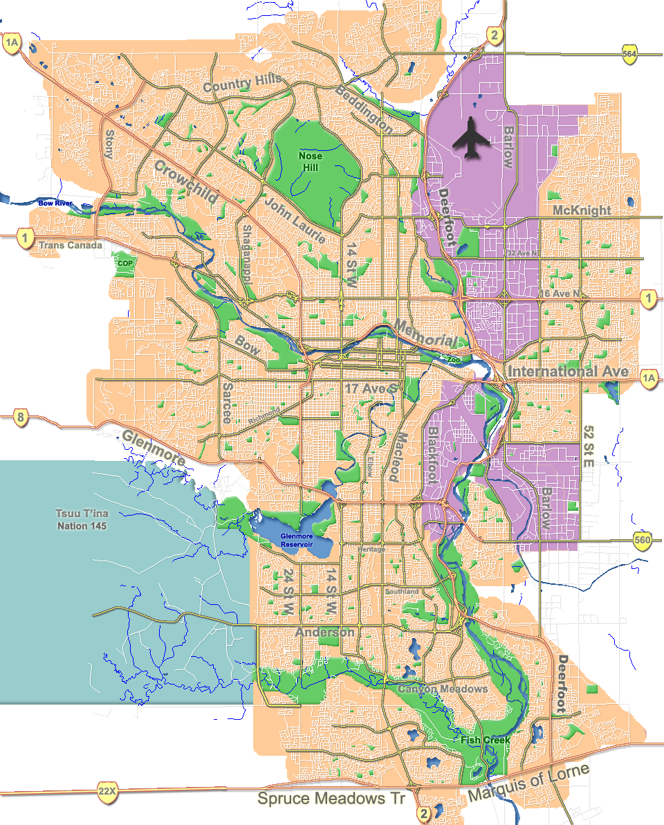
dot_mapsize = 225px
dot_map_caption = Location of Huntington Hills inCalgary
dot_x = 127|dot_y = 48
subdivision_type = Country
subdivision_name = CAN
subdivision_type1 = Province
subdivision_name1 = AB
subdivision_type2 = City
subdivision_name2 = flag|Calgary
subdivision_type3 = Quadrant
subdivision_name3 = NW
subdivision_type4 = Ward
subdivision_name4 = 4
government_footnotes =
government_type =
leader_title = Administrative body
leader_name =Calgary City Council
leader_title1 = Alderman
leader_name1 = Bob Hawkesworth
leader_title2 =
leader_name2 =
established_title = Established
established_date = 1967
established_title2 = Annexed
established_date2 = 1961
area_magnitude =
area_footnotes =
area_total_km2 = 4.4
population_as_of = 2006
population_footnotes =
population_total = 13739
population_density_km2 =
population_blank1_title = Average Income
population_blank1 = $53168
timezone =
utc_offset =
latd= 51|latm= 07|lats= 06|latNS= N|longd= 114|longm= 04|longs= 12|longEW= W
elevation_footnotes =
elevation_m = 1100
postal_code_type =
postal_code =
area_code =
blank_name =
blank_info =
blank1_name =
blank1_info =
website = [http://www.calgaryarea.com/nw/huntingtonhills/huntingtonhills.htm Huntington Hills Community Association]
footnotes = Huntington Hills is a residential neighbourhood in the north-west and north-east quadrant ofCalgary ,Alberta . It is bounded to the north by Beddington Boulevard, to the east byDeerfoot Trail and the "Nose Creek", to the south by 64 Avenue N and to the west by theNose Hill Park and 14 Street W. Center Street runs through the neighbourhood.The land was annexed to the City of Calgary in 1961 and Huntington Hills was established in 1967. It is represented in the
Calgary City Council by Ward 4Alderman Bob Hawkesworth. [Cite web| author= Federation of Calgary Communities | url= http://www.calgaryarea.com/nw/huntingtonhills/huntingtonhills.htm |title= Huntington Hills Community| accessdate= 2007-05-17]Demographics
In 2006 the neighbourhood had a population of 13,739. Residents in this community had a
median household income of $53,168 in 2000, and there were 19.5% low income residents living in the neighborhood.Cite web| url= http://www.calgary.ca/docgallery/bu/cns/community_social_statistics/ward_4_profile.pdf | title=Ward 4 Profile| author=City of Calgary| year=2004| accessdate= 2007-05-17] As of 2000, 20.5% of the residents wereimmigrant s. A proportion of 17.3% of the buildings werecondominium s orapartment s, and 34.2% of the housing was used forrenting .Cite web| url= http://www.calgary.ca/docgallery/bu/cns/community_social_statistics/huntington_hills.pdf| title= Huntington Hills Community Statistics| author= City of Calgary | year= 2006 | accessdate= 2007-05-17]Education
The community is served by Alex Munro Elementary, Catherine Nichols Gunn Elementary, Dr. J.K. Mulloy Elementary, Huntington Hills Elementary, John G. Diefenbaker High and Sir John A MacDonald Junior High
public school s, as well as by St. Helena Junior High School, St. Henry Elementary School and St. Hubert Elementary School (catholic).ee also
*
List of neighbourhoods in Calgary References
External links
* [http://www.calgarycommunities.com/communities/huntingtonhills.php Huntington Hills Community Association]
Canadian City Geographic Location (8-way)
Northwest =

Wikimedia Foundation. 2010.