- Nagyatád
-
Nagyatád Location of Nagyatád
 Nagyatád
Coordinates: 46°13′22″N 17°21′51″E / 46.22265°N 17.36428°ECoordinates: 46°13′22″N 17°21′51″E / 46.22265°N 17.36428°E Country  Hungary
County Somogy Area – Total 70.6 km2 (27.3 sq mi) Population (2004) – Total 11,843 – Density 167.74/km2 (434.4/sq mi) Time zone CET (UTC+1) – Summer (DST) CEST (UTC+2) Postal code 7500 Area code(s) 82 Nagyatád is a town in Somogy county, Hungary.
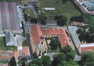 Aerialphotography of Nagyatád
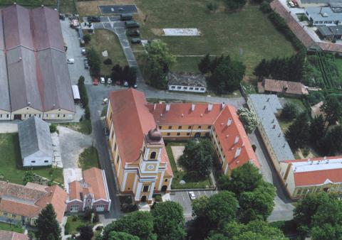
External links
- Official web page [1] (Hungarian)
- Street map (Hungarian)
Categories:- Populated places in Somogy county
- History of Somogy
- Somogy geography stubs


Wikimedia Foundation. 2010.