- Mullaghmeen
-
Mullaghmeen Hill 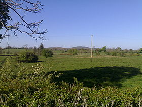
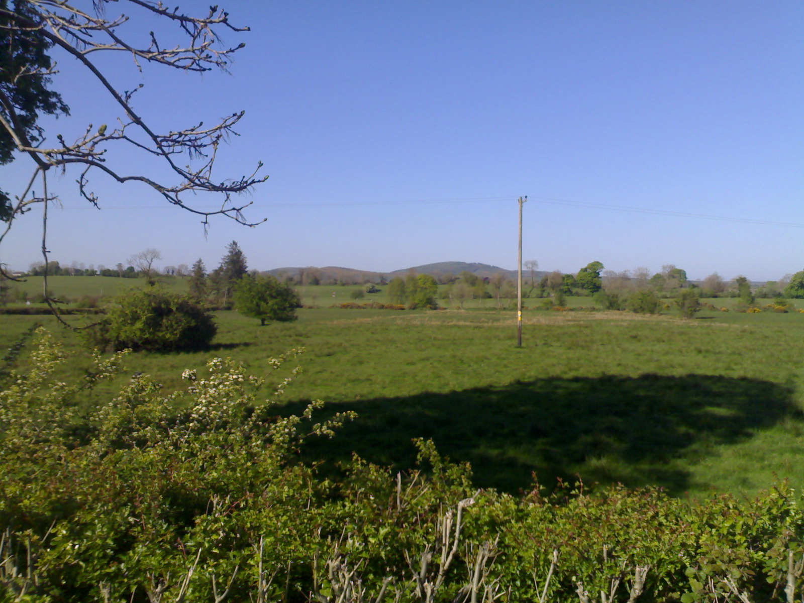
Mullaghmeen Hills, County Westmeath, viewed from CooleElevation 258 m (846 ft) Prominence 110 m (361 ft) Listing Marilyn Location Location County Westmeath,  Ireland
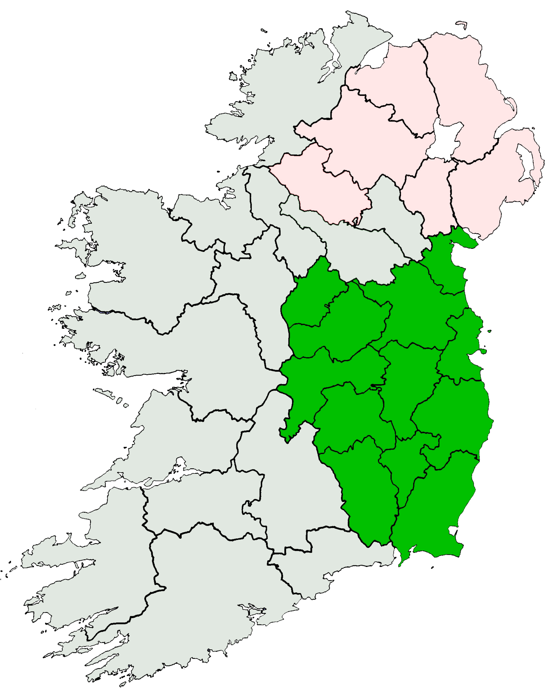
Range Westmeath Hills Coordinates 53°41′0″N 7°13′0″W / 53.683333°N 7.216667°WCoordinates: 53°41′0″N 7°13′0″W / 53.683333°N 7.216667°W Mullaghmeen Hill, (Irish: An Mullach Mín, meaning "smooth summit"), [1] in County Westmeath, Ireland, is situated between the County Cavan border and the Coole end of the Bog of Allen, to the south. It dominates the valley and the 'Westmeath or the Lake County' surrounding countryside. It rises gracefully among surrounding hills that interlace with the many loughs of Westmeath.
Mullaghmeen Forest lies about 8 km from the town of Castlepollard. The soil is very rich in limestone and in 1936 the Department of Agriculture decided that it would be ideally suited to the planting of deciduous trees. The Department set about planting mainly beech trees, resulting in what is now the largest beech plantation in Europe.
The 258-metre Mullaghmeen summit is the highest point in County Westmeath. It is the lowest county top, and is the 1,000th highest summit in Ireland. [2]
References
- ^ Mullaghmeen, Irish Placenames Database. Retrieved: 2010-08-12.
- ^ Mullaghmeen Hill, MountainViews.ie. Retrieved: 2010-08-12.
Categories:- Mountains and hills of County Westmeath
- Ireland geography stubs
Wikimedia Foundation. 2010.